

Open this route in the app to prepare your next outing.
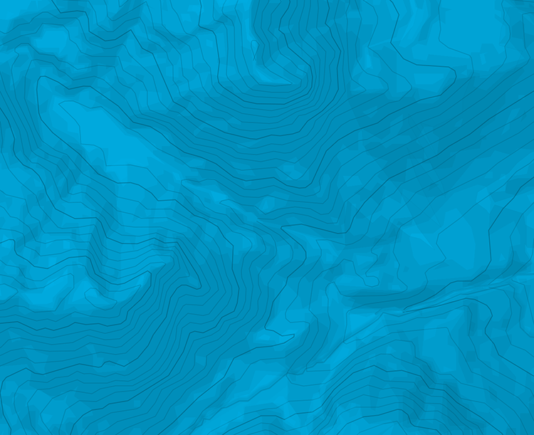
Min / max altitude1659m / 2886m
Duration1 day
Route typeReturn the same way
Glacier gear required
Source
Details
From Grachen or Gasenried through the forest on the right side of the river. The path then crosses to the left bank of the Ried glacier and goes up the Alpja valley. At 2760m reach the glacier and cross it (When the warden is present the glacier crossing is well marked and easy) then climb up to the hut (ladders and ropes) 4:30h from Grachen 4h from Gasenried

The text and images in this page are available
under a Creative Commons CC-by-sa licence.

Download the Whympr App to view this route in 3D.
- Route search (100 000)
- Community returns
- Weather forecast
- Avalanche bulletin
- Race book
- Creation of tracks
- Topographic map (including IGN)