

Open this route in the app to prepare your next outing.

Details
Approach
From the Torino hut or the Pointe Helbronner
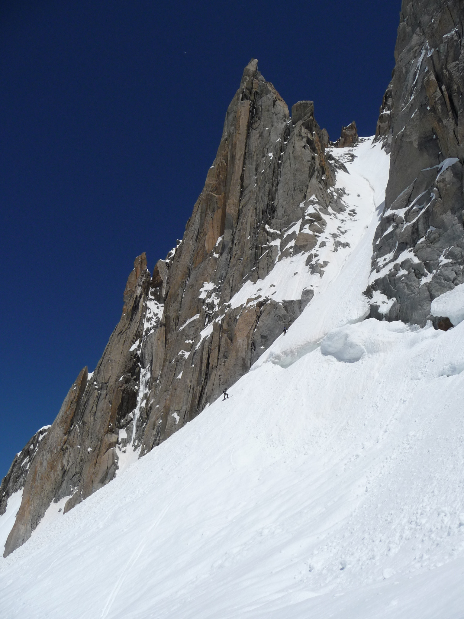
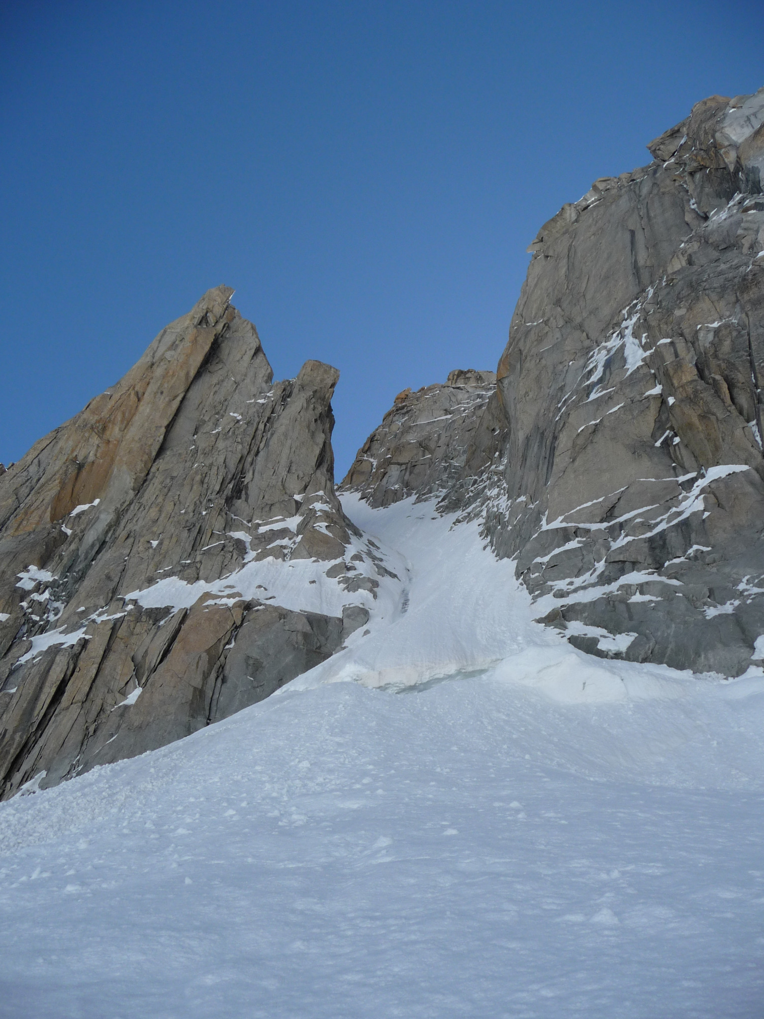
Cross the Col des Flambeaux, go under the Aiguille de Toule and continue towards the Combe Maudite. Pass under the N Face of the Tour Ronde and reach the bergschrund of the W face.
From the Aiguille du Midi
Descend the classic Vallée Blanche until about 3200m, at the level of the Pointe Adolphe Rey. Go up, depending on the state of the glacier, often with lots of crevasses at this point, either directly under the rock buttresses, or by going to the E towards the col d’Entrèves, and the cols de Toule, (usually well tracked). Reach the upper plateau of the Géant glacier. Go towards the W face of the Tour Ronde. You do not see the couloir until the last moment.
The bergschrund often blocks access into the couloir.
Route
Climb the couloir mainly by the true left bank (50° then 45°) until you reach a snowy saddle where the it joins the N face route. In the upper section, rocks are often uncovered. Exit onto this shoulder and go up it to the final buttress. Two possibilities :
- Either by a gully (snow/rocks maybe with loose rubble), descend a good 20m to reach a snow band which goes along underneath a granite wall, (good spike belay at the end.) Follow the snow band (S)then snow slopes to reach the normal route near the summit. It is also possible to only go down a few metres in the gully, then follow a system of ledges to a belay. An abseil of 15 to 20m brings you to the snow band of the first option. (Do not try and go straight up from the belay towards the easy angled slabs. (The rock is rotten and it is a lot more difficult.)
- Or climb the summit buttress (4b, an old peg visible.)
Descent
On foot
By the standard route : snowy ridge at the start to a little, obvious col, (abseil ring behind a rock boulder.) Then descend the 45º, E facing snow slope.
With skis
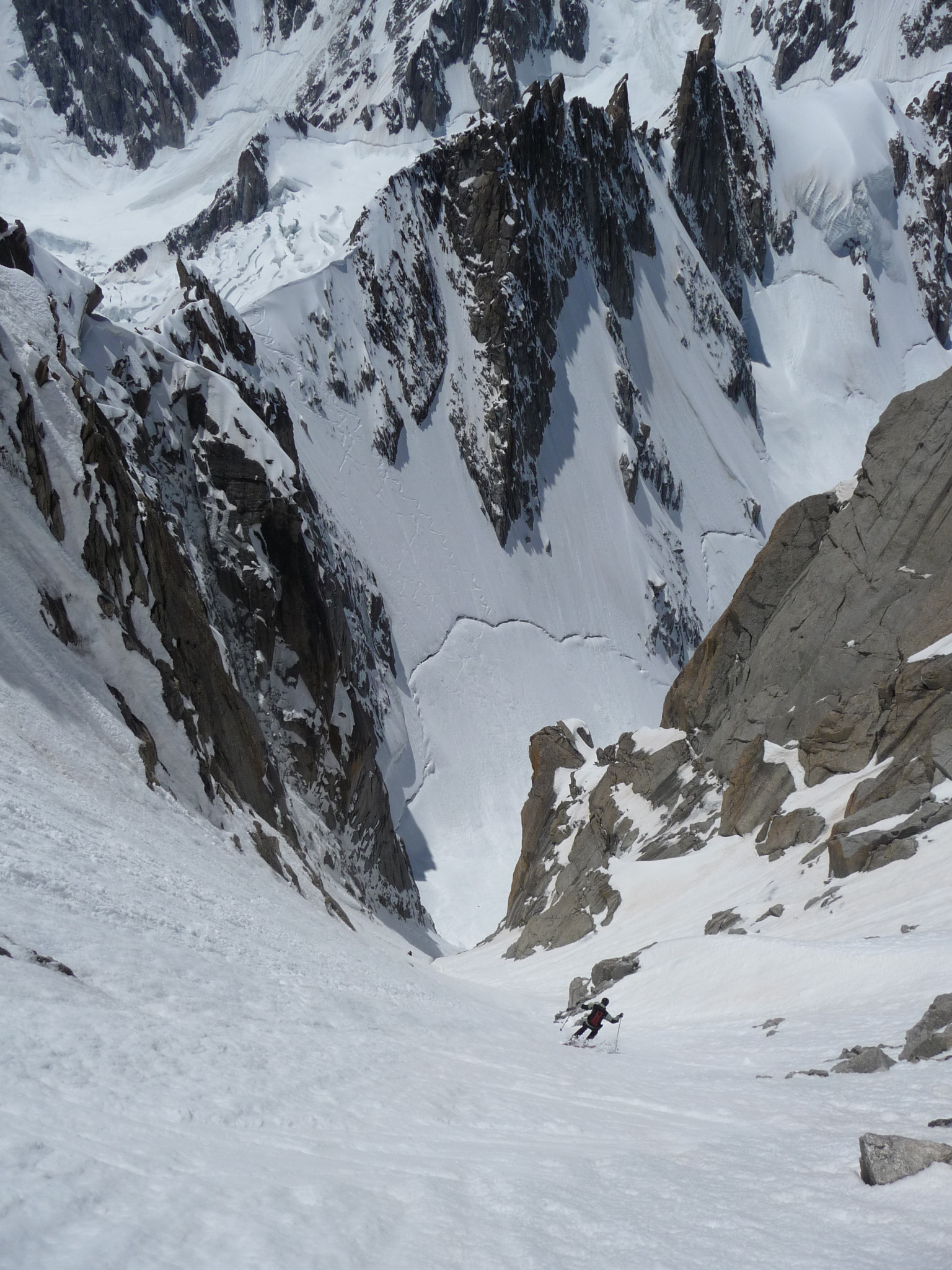
The same way as you climbed up and the Vallée Blanche if in condition, if not climb back up to the Aiguille du Midi or the Pointe Helbronner. The central runnel is often iced, meaning you have to ski the sides of the couloir.

The text and images in this page are available
under a Creative Commons CC-by-sa licence.

Download the Whympr App to view this route in 3D.
- Route search (100 000)
- Community returns
- Weather forecast
- Avalanche bulletin
- Race book
- Creation of tracks
- Topographic map (including IGN)