

Open this route in the app to prepare your next outing.

Details
From Prétairié (1128m), take the 4×4 track first traversing the clearings then wooded slopes before reaching the high mountain pasture of Serranants (chalets -1403m). Continue to the SW in the direction of the rocky mass of Mont Brion. Slightly farther on before reaching the base of its cliffs (1520m), fork on the right (W) and go up the broad slopes becoming increasingly steep leading to the Damoz les Moulins pass (1837m). Then go up towards N to the S ridge of Pic de la Corne, first slightly wooded then well cleared. The S summit is preceded a few metres under the top by a beautiful wooden cross. The central summit, of equivalent altitude, is slightly more difficult to reach (traversing the E slope).
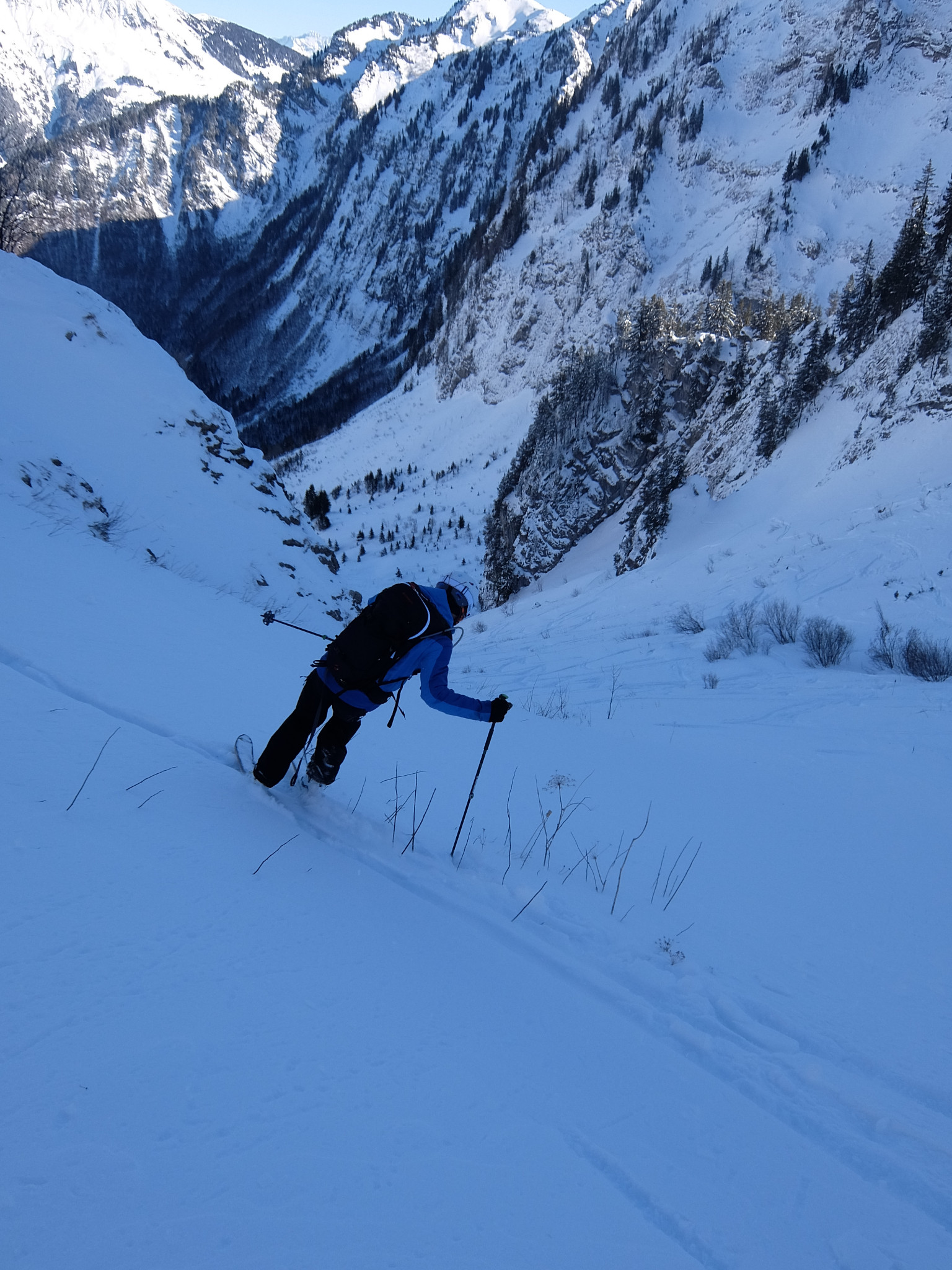
Descent by the same route. Before reaching Serranants on the return, it is possible to cut across a small rather well cleared scoop facing E, and here find the ascent route to the hairpin turn of the 4×4 track.

The text and images in this page are available
under a Creative Commons CC-by-sa licence.

Download the Whympr App to view this route in 3D.
- Route search (100 000)
- Community returns
- Weather forecast
- Avalanche bulletin
- Race book
- Creation of tracks
- Topographic map (including IGN)