

Open this route in the app to prepare your next outing.
Min / max altitude1700m / 3250m
Duration6 hours 12 minutes
Main facingN
Route typeReturn the same way
Lift approach
Source
Details
Montée
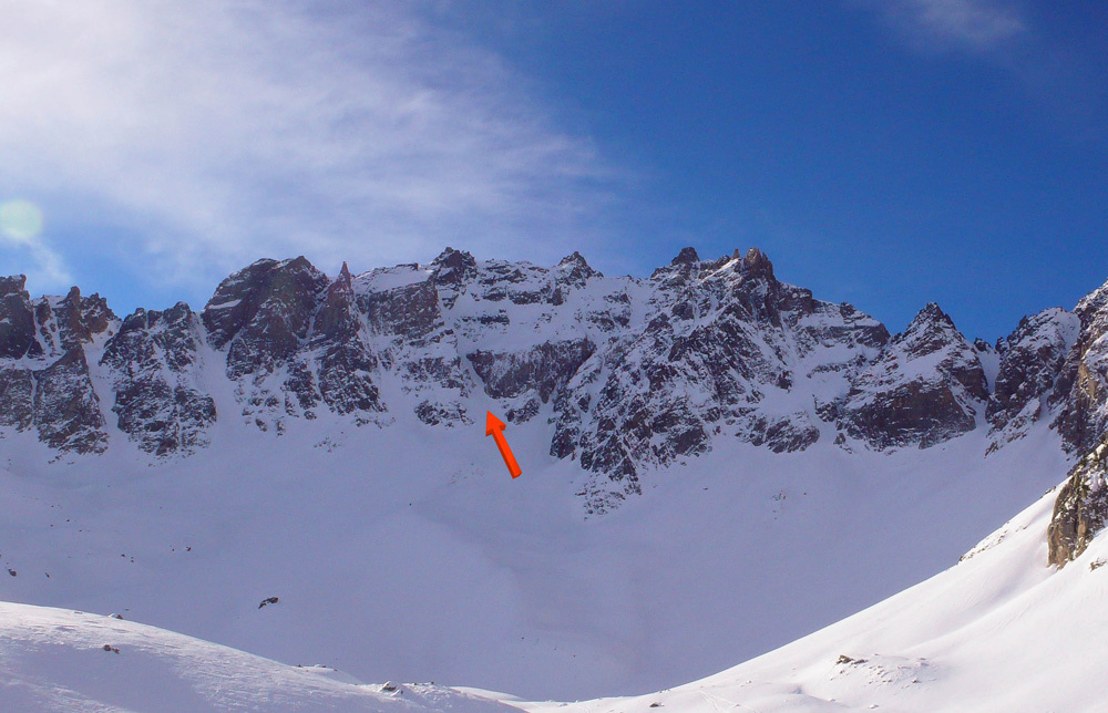
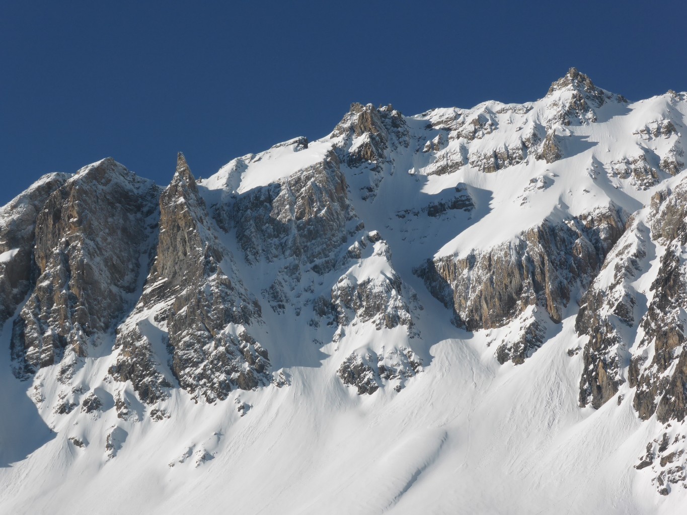
Remonter plein S depuis le Lac Saint Anne. Vers 2900 m, sous la grande barre rocheuse s’engager à gauche. 300 m de couloir large puis 100 m à 50° plus étroit.
Descente
Par le même itinéraire.

The text and images in this page are available
under a Creative Commons CC-by-sa licence.

Download the Whympr App to view this route in 3D.
- Route search (100 000)
- Community returns
- Weather forecast
- Avalanche bulletin
- Race book
- Creation of tracks
- Topographic map (including IGN)