

Ouvre cet itinéraire dans l’application pour préparer ta prochaine sortie
Distance4842m
Altitude min / max1228m / 2402m
OrientationNO
Type d'itinéraireAller-retour
ÉquipementIce axe can be used in case of snow at the top or to cross the snow slope.
Source
Details
The trail leads upwards with a moderate path until it crosses Vaux Creek, then launches an harder climb towards the alpine.
After many switchbacks the trail ends at a steep snow slope. Cross the snow slope carefully from the left to the right.
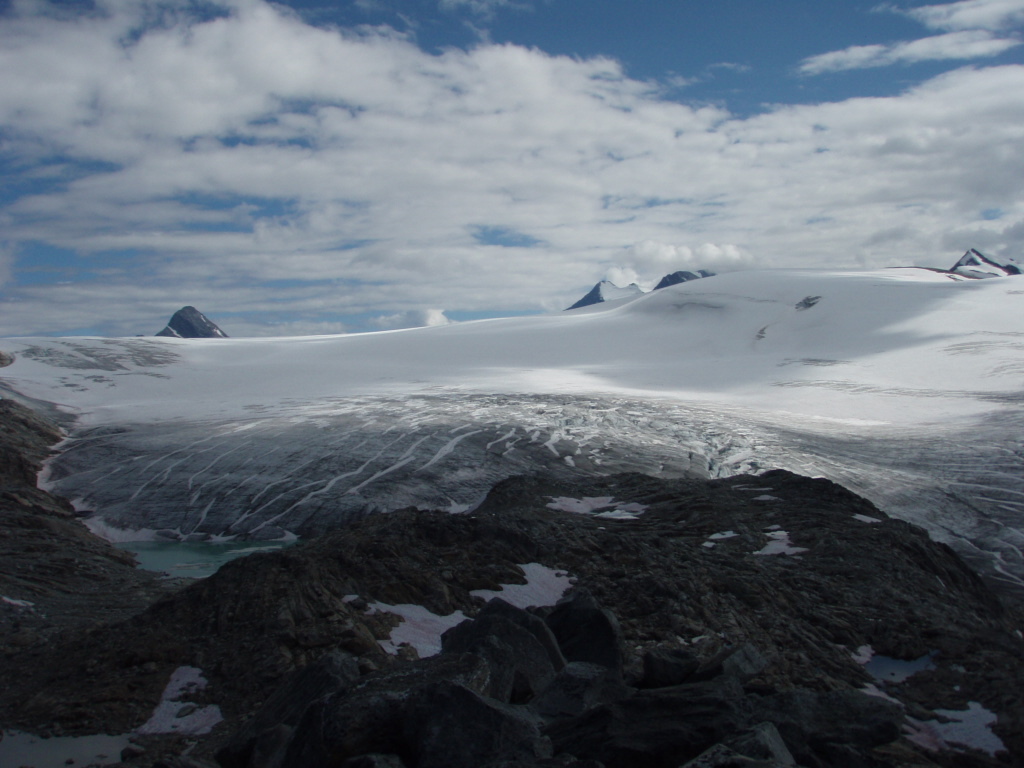
You are close to the end, climb up to the top of the hill on your right, front or Perley Rock. You are then on a viewpoint overlooking the vast Illecillewaet Icefield.

Le texte et les images de cette page sont disponibles
sous la license Creative Commons CC-by-sa.

Télécharge l’appli Whympr pour voir cet itinéraire en 3D.
- Recherche d'itinéraires (100 000)
- Retours communautaire
- Prévision météo
- Bulletin d’avalanche
- Carnet de course
- Création de traces
- Carte topographique (dont IGN)