

Ouvre cet itinéraire dans l’application pour préparer ta prochaine sortie

Details
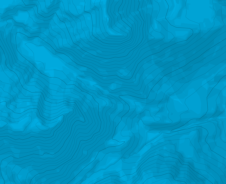
Ascent From S-Charl follow the well-trodden trail along Val Sesvenna, on the orographic left bank first, then on the right bank until reaching the open area just below Alp Sesvenna. From there veer towards the east and reach a long flat area along the upper part of Val Sesvenna. Turn to the south to skirt a rocky spur and reach a new plateau. From there one joins the (much more frequented) route from Italy. A new plateau is reached just below the summit north face on Vadret da Sesvenna. It would be possible to reach the summit on skis but most groups prefer to use the ridge easy East ridge that one reaches through an easy saddle. Descent From the summit with skis is not difficult, and not really exposed, but the first few meters (35-40°) may require attention due to rocks under the snow . Many groups leave skis at the saddle where the route joins the east ridge and backtrack the ridge on foot.

Le texte et les images de cette page sont disponibles
sous la license Creative Commons CC-by-sa.

Télécharge l’appli Whympr pour voir cet itinéraire en 3D.
- Recherche d'itinéraires (100 000)
- Retours communautaire
- Prévision météo
- Bulletin d’avalanche
- Carnet de course
- Création de traces
- Carte topographique (dont IGN)