

Ouvre cet itinéraire dans l’application pour préparer ta prochaine sortie

Details
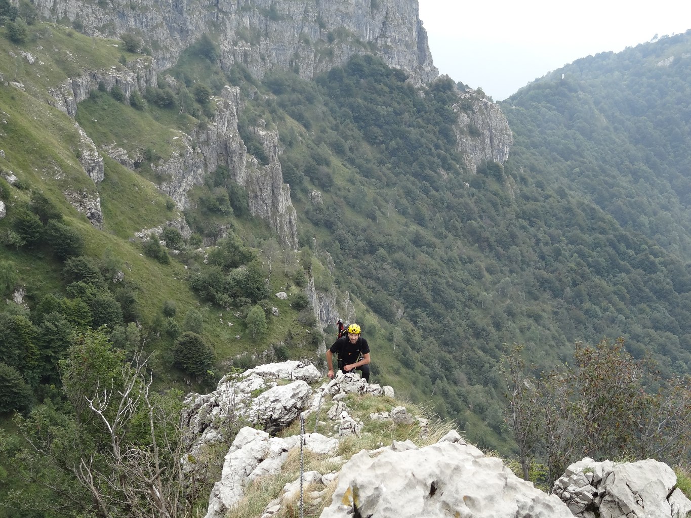
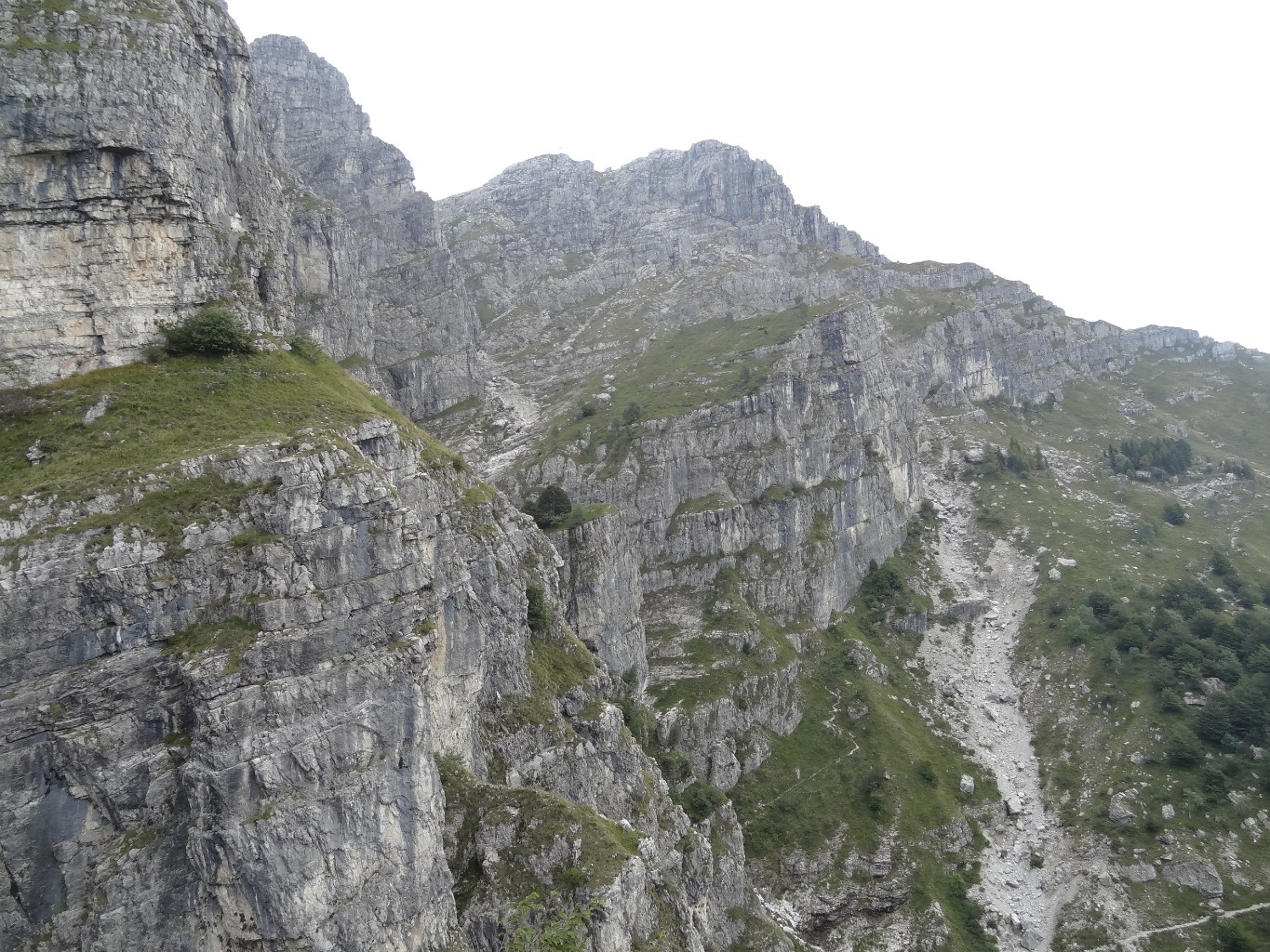
Good things about this route … - Lots of fun interesting moves in variety of situations on rock rich in positive holds (and not much polished). - The limestone rock is mostly sound (except of course some loose pieces on ledges). - Non-long approach from top station of “funivia” / mechanical lift. - Non-long descent on trail #10 back to top station of lift … (or option to go to summit hut for snack). - Rather long amount of climbing (though with many breaks between sections). - Big and interesting views up + down + around, both along the way and from the top.
Not so good … - Some of the more difficult sequences are not well Protected if a climber falls - (see below under Remarks). … (This hazard is also present on many difficult VF routes in the Dolomites and other regions). - The method of connecting the chain / cable to the rock (throughout this route) does not use modern best practice for safety - (see below under Remarks).
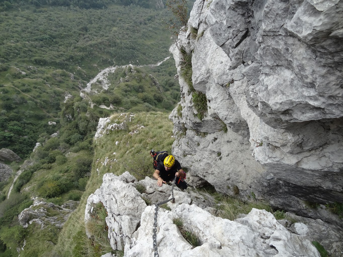
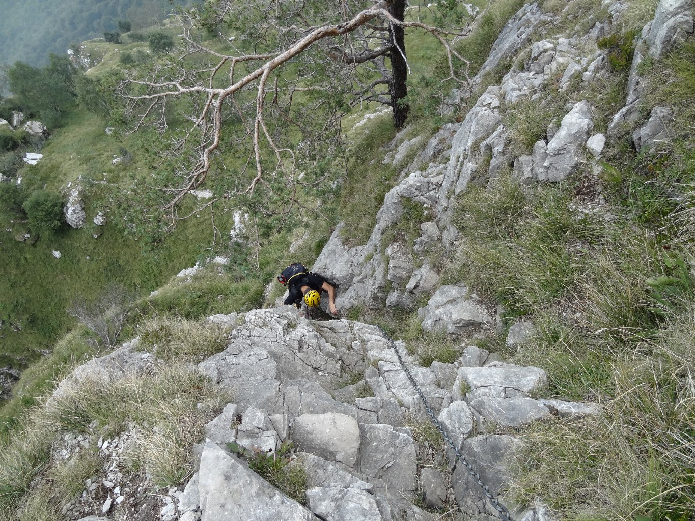
Free rock-climbing: Of course most VF climbers normally grasp the installed hardware with their hands, and stand on it with their feet. But this route offers another option: To climb many interesting sequences in “free” rock-climbing style – at difficulty in the 4b - 5b range – including several “3-dimensional” outdoor situations. “Free” meaning to make the climbing moves with hands and feet in direct contact with the rock, clipping the chain only for Protection, not using the chain or other installed hardware for Aid. Indeed there are no more than ten moves in the whole route which are harder than 5b (so likely would require using Aid from the installed hardware).
Chain instead of Cable: VF routes in Dolomites + Austria + France normally install steel cable along all or most of the route. This Gamma 2 route does the same, but with steel chains instead of cable - (see below under Remarks).
Approach: Quickest is to start by the top station of the mechanical lift, called “Piani d’Erna”, which is most easily reached by purchasing a round-trip ticket and riding up on the “funivia” lift - (or could reach this point by first climbing up VF Gamma 1). Walk SSE 60m down to snack bar, then turn sharp left and walk NE 300m down to the pass Bocca d’Erna (N45.8663 E9.4503). Tricky next, instead of going up the other side from the pass, turn right / SE and go further down on trail #5 about 800m to junction with trail #1 (likely this point could be reached without first riding up the lift by hiking up from the funivia bottom station Parking). Next start upward on trail #1 SE for 250m. Then the trail turns NE (left) and immediately a cross standing beside the trail. Another 70m East see sign for Via Ferrata (N45.8585 E9.4605). Turn off sharp Left from trail and scramble up about 40m to bottom of VF chain. … (about +120 vertical meters uphill over 1.5 km distance from top station of lift).
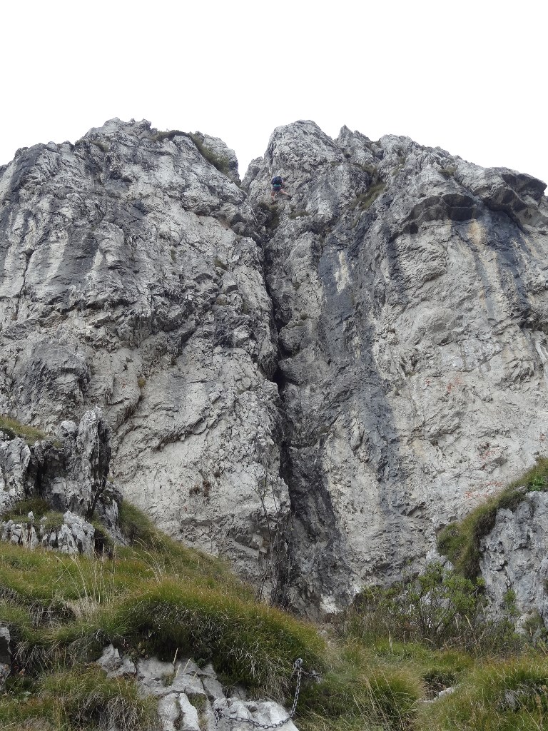
Climb: There are at least seven separate sections with difficulty at least at the level of thoughtful scrambling, for which some people will be glad that the chain is present. In between are sections of easier scrambling or hiking - (the “herd” track as of 2017 is sufficiently worn so that following the route is straightforward even where there is no chain present). Before the final three serious climbing sections, there is a long gentle walk NE then SE at least 200m. The overall terrain is complicated, so it is hard to guess how far from the finish, which adds to the sense of commitment. Navigating the non-easy-scrambling climb sections is straightforward (so needs no description here): Follow the chain. … (about +260 vertical meters total of climbing harder than easy scrambling, which suggests that the … . length of the climbing is around 300 meters, because of the separations between the seven climbing sections).
Escape? There might be an (unmarked) escape about 20% of the way through ? perhaps might be around (N45.8598 E9.4602)? near the memorial to Carlo Mauri? After that the party is pretty committed.
Descent: Quickest and simplest is to go down W about 120m to meet the main ridge trail #10, then N (left) 200m to a notch, then W (left) on trail #10 down steep about 500m (with some short sections with a chain to grab). Then trail curves right NW for about 800m with some rugged ups and downs to a wide grassy slope, then down this W to the pass Bocca d’Erna (N45.8663 E9.4503), then uphill 300m on road SW then S to snack bar, then turn sharp right NNW to top station of mechanical lift “funivia” - (If did not purchase round-trip return ticket earlier, can still purchase one-way-down ticket at the top station, 6 Euros in 2017). … (about +30 vertical meters uphill over 2.2 km distance from top of Dente del Resegone back to top station of lift). … warning: the word “funivia” on most hiking trail-junction signs means the bottom station of the mechanical lift, where you parked your car. To get back to the top station of the mechanical lift, look for “Piani d’Erna”.
GPS useful waypoints: - Parking at bottom station of mechanical lift / “funivia” . (N45.8625 E9.4275) . (elevation approx 585m) - top station of mechanical lift - “Piani d’Erna” . (N45.8646 E9.4477) . (elev ~ 1325m) - pass that you first walk NE down to from lift top station - “Bocca d’Erna” . (N45.8663 E9.4503) . (elev ~ 1305m) … from here go down right (SE) on trail 5 for a ways, if want to reach VF bottom. - down trail 5 to meet trail 1 at . (N45.8603 E9.4578) . (elev ~ 1240m) . low point on approach - turn left off main trail 1+5 to scramble up to VF Gamma II . (N45.8585 E9.4605) . (elev ~ 1330m) - bottom of first chain section VF Gamma II . (N45.8599 E9.4389) . (elev ~ 1360m) - Dente del Resegone - top of VF Gamma II . (N45.8615 E9.4642) . (elev ~ 1805m) - notch at top of trail 10 descent route (sometimes called “VF Carlo Villa”) . (N45.8630 E9.4647) . (elev ~ 1735m)

Le texte et les images de cette page sont disponibles
sous la license Creative Commons CC-by-sa.

Télécharge l’appli Whympr pour voir cet itinéraire en 3D.
- Recherche d'itinéraires (100 000)
- Retours communautaire
- Prévision météo
- Bulletin d’avalanche
- Carnet de course
- Création de traces
- Carte topographique (dont IGN)