

Ouvre cet itinéraire dans l’application pour préparer ta prochaine sortie
Altitude min / max1374m / 2045m
OrientationS
Details
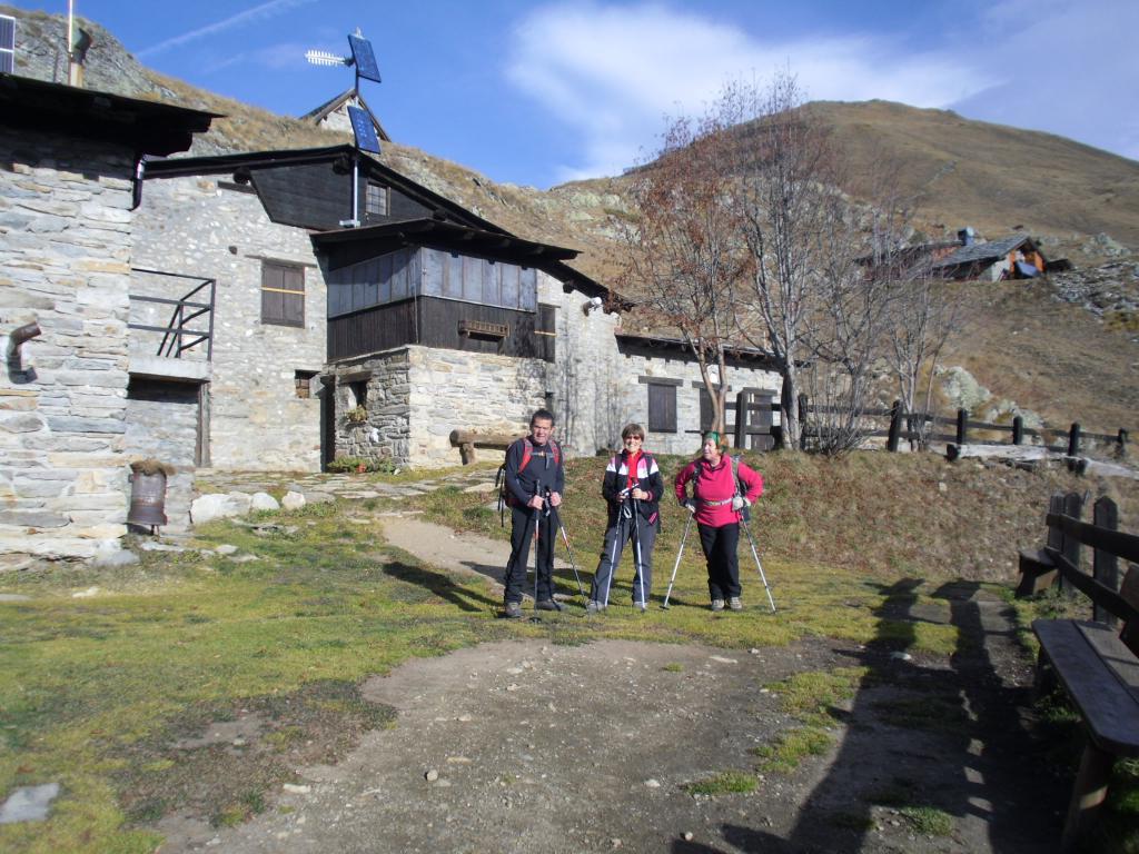
Lasciata la vettura al parcheggino sul torrente,si segue la segnaletica del sentiero n.42 fino al rifugio e,successivamente al Praz de la Saxe.

Télécharge l’appli Whympr pour voir cet itinéraire en 3D.
- Recherche d'itinéraires (100 000)
- Retours communautaire
- Prévision météo
- Bulletin d’avalanche
- Carnet de course
- Création de traces
- Carte topographique (dont IGN)