

Ouvre cet itinéraire dans l’application pour préparer ta prochaine sortie
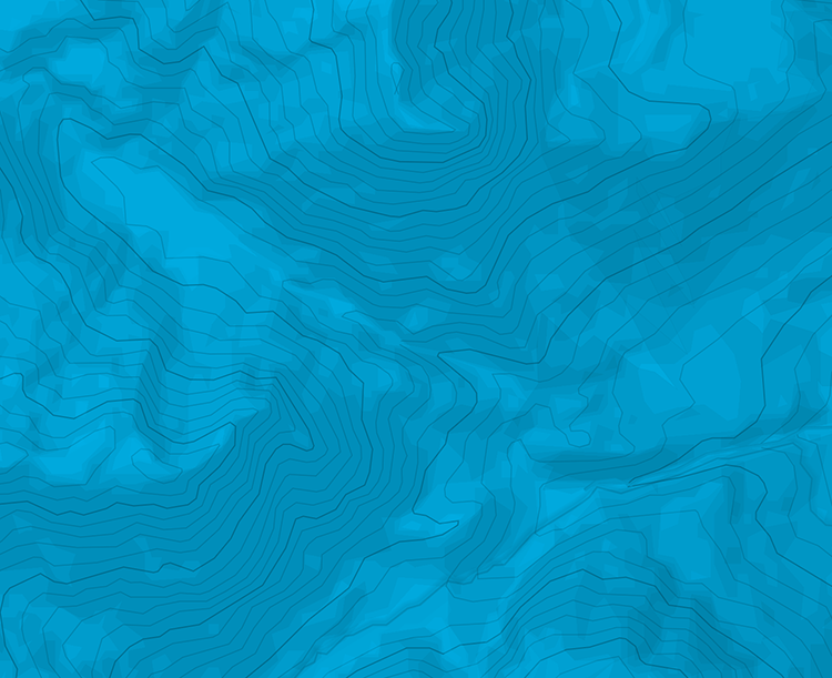
Distance230m
Altitude min / max1870m / 2100m
OrientationSE
Type d'itinéraireAller-retour
Details

Télécharge l’appli Whympr pour voir cet itinéraire en 3D.
- Recherche d'itinéraires (100 000)
- Retours communautaire
- Prévision météo
- Bulletin d’avalanche
- Carnet de course
- Création de traces
- Carte topographique (dont IGN)