

Ouvre cet itinéraire dans l’application pour préparer ta prochaine sortie
Altitude min / max1760m / 1909m
Durée1 jour
Source
Details
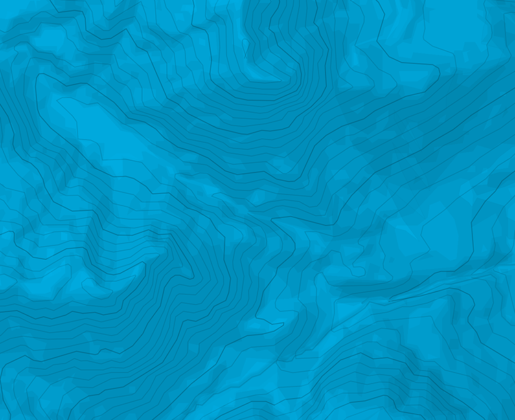
Go up through the forest behind the hut, along the ridge, all the way to the summit (flat at the top).
The descent can be done the same way to go back to the hut, or to the west which is steeper, to go down straight to the Hochtor and to the valley bellow.

Le texte et les images de cette page sont disponibles
sous la license Creative Commons CC-by-sa.

Télécharge l’appli Whympr pour voir cet itinéraire en 3D.
- Recherche d'itinéraires (100 000)
- Retours communautaire
- Prévision météo
- Bulletin d’avalanche
- Carnet de course
- Création de traces
- Carte topographique (dont IGN)