

Ouvre cet itinéraire dans l’application pour préparer ta prochaine sortie

Details
statistics: . uphill walking + climbing vertical: +200 m . length of climbing at difficulty 2 or higher: 100-250 m . horizontal distance of ascent: 1.0 km . horizontal distance of normal descent NW face + return to start: 1.5 km
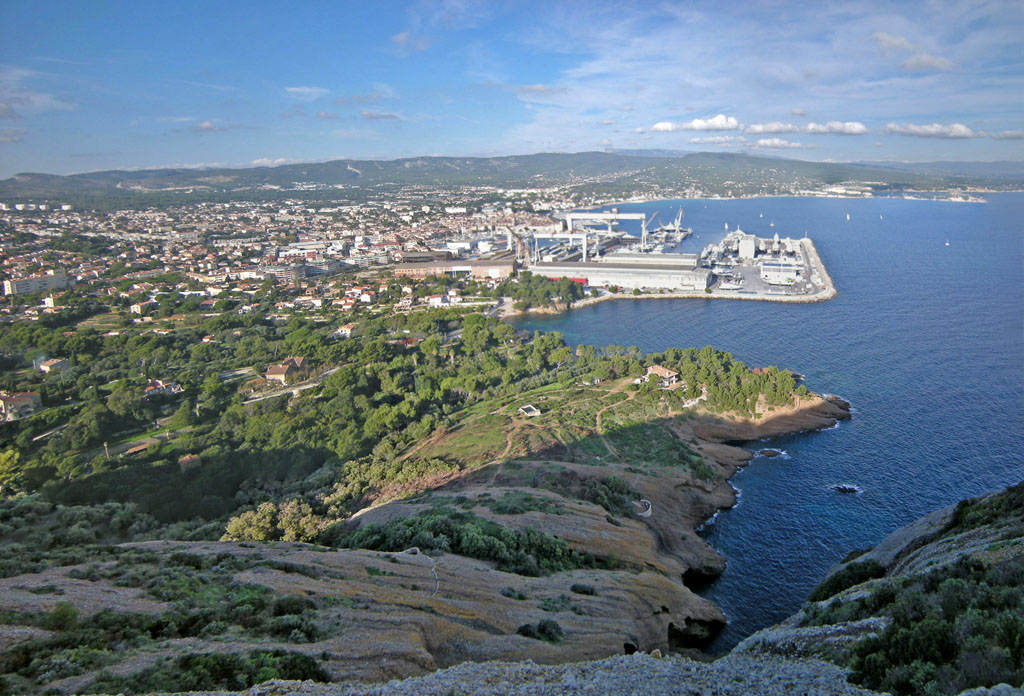
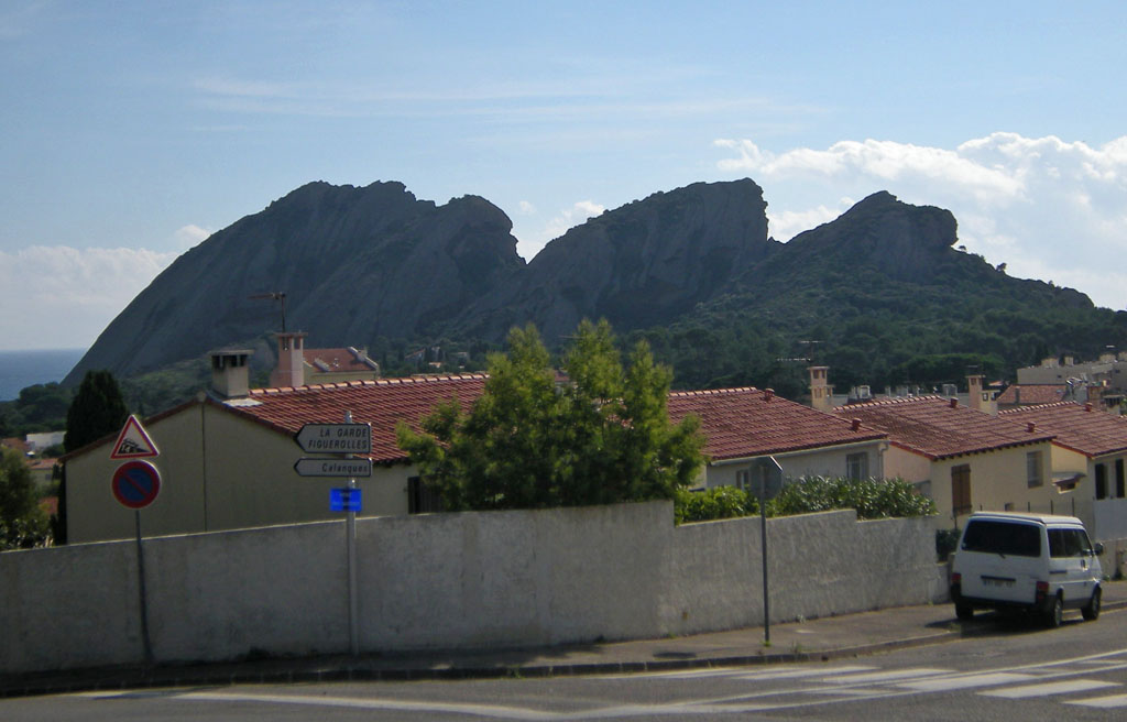
approach: From the entry to Anse de Figuerolles">http://www.camptocamp.org/parkings/442132/en/figuerolles">Figuerolles (GPS latitude/longitude ~ N43.1674 E5.5987), go ESE on the city street for about 140m, then (at ~ N43.16700 E5.60037) turn Right onto Avenue des Myrtilles and go 10m to the end of the street - (this point could also be reached from the Mugel">http://www.camptocamp.org/parkings/417738/en/parc-du-mugel-la-ciotat">Mugel parking), then start climbing up on a firefighters road (dirt) and go S about 250m. Bear Right off the firefighters road onto a dirt trail and continue up S about another 50m, then SW about 30m up to a viewpoint at the top of puddingstone hump (lat/long ~ N43.1638 E5.5996), roughly the SW corner of the top of the cliffs. Look ESE to see the West arete/ridge rising up.
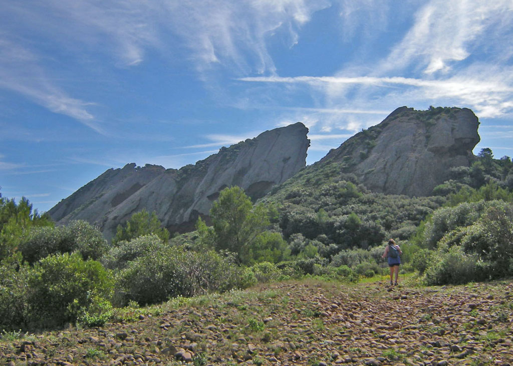
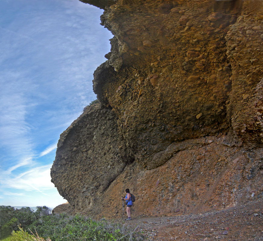
traverse from west end to col Belvedere: Hike up ESE toward the rock of the arete/ridge for about 40m to a bolt with blue paint, then up another 10m to a flat section under a big overhang. Traverse Left around N end of overhang (Variation: Instead traversing R has more interesting climbing around 4b, but the rock that way is very loose). Then SE on rock about 60m up to the West summit (N43.1631 E5.6007).
Down for about 50m to the first col, steep on both sides. Climb arete over col (or traverse high across the N side of the col), then a thoughtful step (3a) across onto the face to its left. Next about 25m climbing (difficulty 2+ exposed) - (more exciting if stay near R edge) up to 2-bolt anchor, then another 15-20m easier up to the Mid-West summit (N43.1626 E5.6016). Continue ESE down along the ridge about 100m to reach the second col, the Belvedere (N43.1621 E5.6029), with concrete walls. Look E and up to see the crux steep section.
. . (Escape: There is an obvious well-maintained walking trail NE from the Belvedere col down and out about 0.6 km to the entry gate of Parc du Mugel).
traverse from col Belvedere to East summit: Hike + scramble NE, passing left below a small rock tower, up to the base of the crux section.
This crux section above E from col Belvedere is tricky because it has both more difficult climbing and more breakable and/or loose rock, dangerous both to the climber and to anyone below. For much more detail, see further below “crux section problems + strategies” below under Remarks. … (If have any doubt about handling this, just end this traverse below at col Belvedere and walk out easily down the trail).
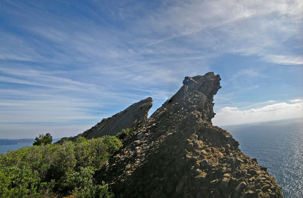
Directly up the face toward the S (R) side of roof is steeper than what has come before. Difficulty around 3a, lacking good protection (as of 2017), and with exposure. Perhaps easier in the upper half to go a bit Left (on rock perhaps more breakable) into the obvious cave under a roof, then traverse back Right (loose rock) to get around the roof (easier climbing than below, but very exposed). Soon reach 2-bolt anchor (as of 2015) above - (pitch of 25m-30m) . ((No intermediate protection hardware as of 2019, and with minimal or no opportunites for protection with Trad gear).
Variation Left: After scrambling up to under the cave and roof, instead walk farther Left to the base of ramp, then up the ramp (much less steep than the direct face) with loose rock up into the cave, then continue across the cave (? might be protection by placing a very long sling around a rock horn ?), then avoid the roof by exiting the right end of the cave (very exposed, but likely not as difficult as the direct face of the Main Route), and up to the 2-bolt anchor.
Variation Right (longer and plenty exposed, but not harder, perhaps more sound rock): Partway up the face toward the cave, near a small pod, instead stay away from the cave by aiming right-ward to follow a ramp up around right to near its top, then aim a bit left and up to the summit. No anchor bolts, but rock horns available above the steeper climbing.
Above the 2-bolt anchor, continue up 40m easier to the Mid-East summit (N43.1619 E5.6039).
From the Mid-East summit, go down easily a short ways to a third col (which is also on the NW face route). Finally continue ESE upward on dramatic arete, then roughly horizontal to the East (highest) summit (N43.1612 E5.6055).
descent: Return WNW to the third col, and use the NW face route to go down then out to the Parc du Mugel entry gate (N43.1654 E5.6061) - (locked at night, often even before dark). From there go roughly N on a street for about 200m, then turn left onto Avenue du Mugel and go W about 500m. Turn L onto Avenue des Myrtilles, S about 130m down + up – to reach the start of the firefighters road. From there can go West about 140m to the Anse de Figuerolles entry.
Variation (West + East integrale): Instead of descending NW, continue E over the summit, then down-climb the ENE face all the way to edge of the Sea, and return along the Sea (at first NW, later NE) to the Parc entry gate by reversing the start of the Traversee Parpeles route.

Le texte et les images de cette page sont disponibles
sous la license Creative Commons CC-by-sa.

Télécharge l’appli Whympr pour voir cet itinéraire en 3D.
- Recherche d'itinéraires (100 000)
- Retours communautaire
- Prévision météo
- Bulletin d’avalanche
- Carnet de course
- Création de traces
- Carte topographique (dont IGN)