

Ouvre ce point d’intérêt dans l’application pour préparer ta prochaine sortie
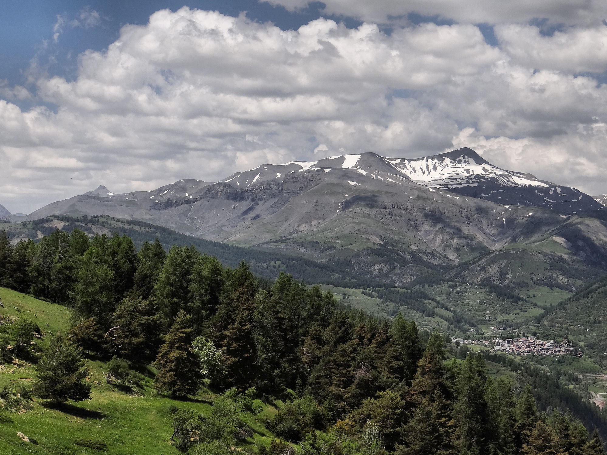
Mont Mounier
France • 2817 m
Source
Géographie
- Col associé à la proéminence : Col de Pal (2208 m)
- Plus proche parent : Cime de Pal (2818 m)
- Parent principal : Mont Pelat (3051 m)
- Rayon de dominance : 10,52 km
- Point de limite de dominance : crête S du Bec du Corborant (2840 m)
Bibliographie
Histoire
- Le Refuge du Monnier par Victor de Cessole, La">https://gallica.bnf.fr/ark:/12148/bpt6k9764728w/f51.image">La Montagne, 1929, p.111-114.
Panorama
Vue">https://www.alpen-panoramen.de/panorama.php?pid=31502">Vue du Mont Ferantpar Arnaud Gendre Vue">https://www.toporandosmontagne.com/06/mercantour/mont-mounier/pano-mont-mounier-annote.JPG">Vue du Mont Mounier par toporandosmontagne.com

Itinéraires


Télécharge l’appli Whympr pour voir ce POI en 3D.
- Recherche d'itinéraires (100 000)
- Retours communautaire
- Prévision météo
- Bulletin d’avalanche
- Carnet de course
- Création de traces
- Carte topographique (dont IGN)