

Open this route in the app to prepare your next outing.

Details
Ascend
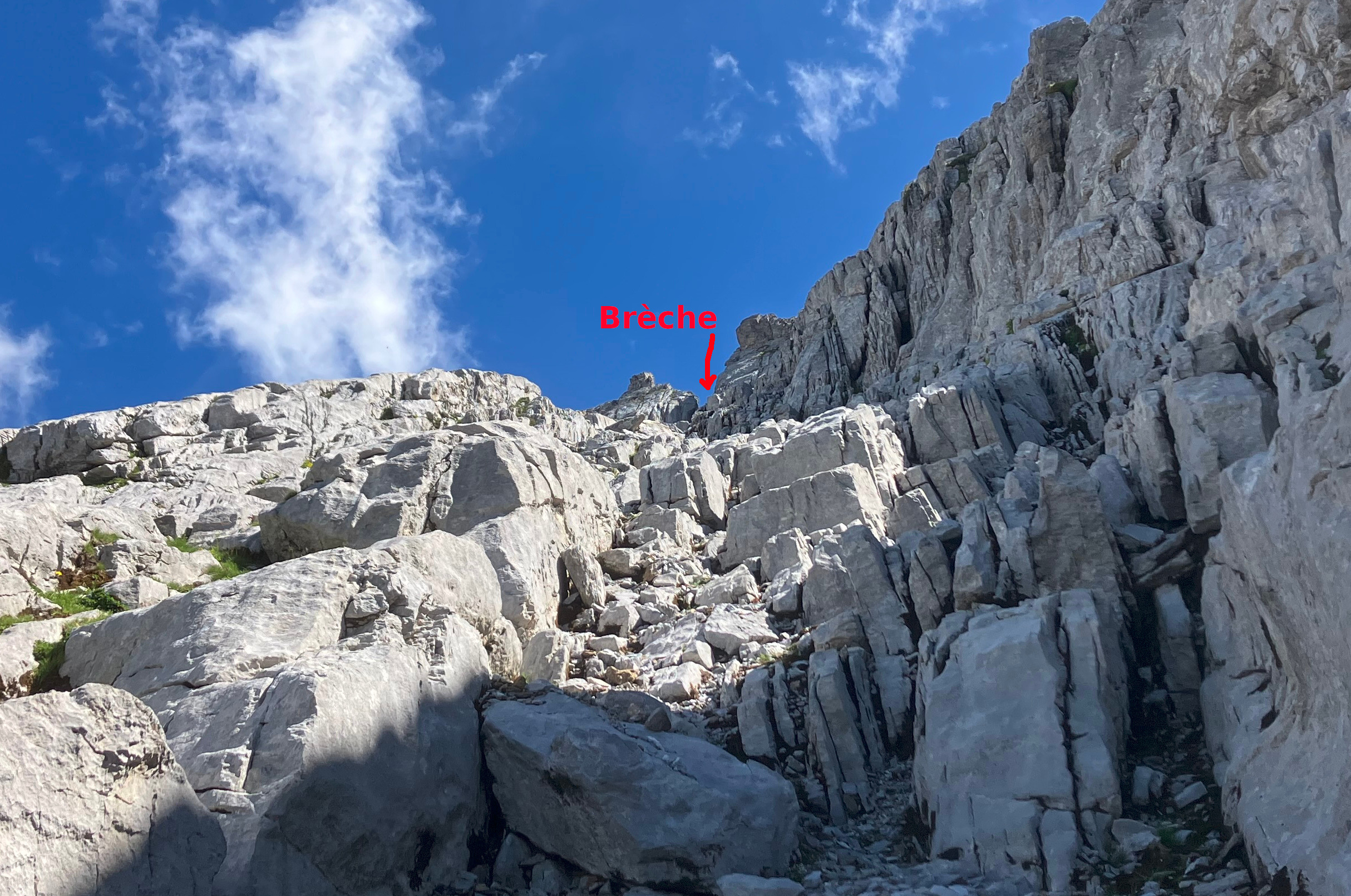
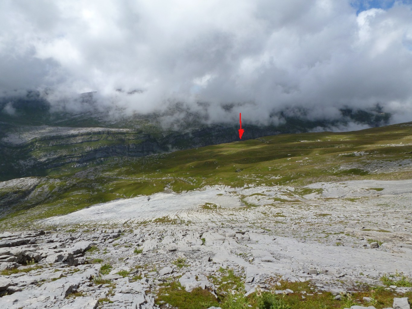
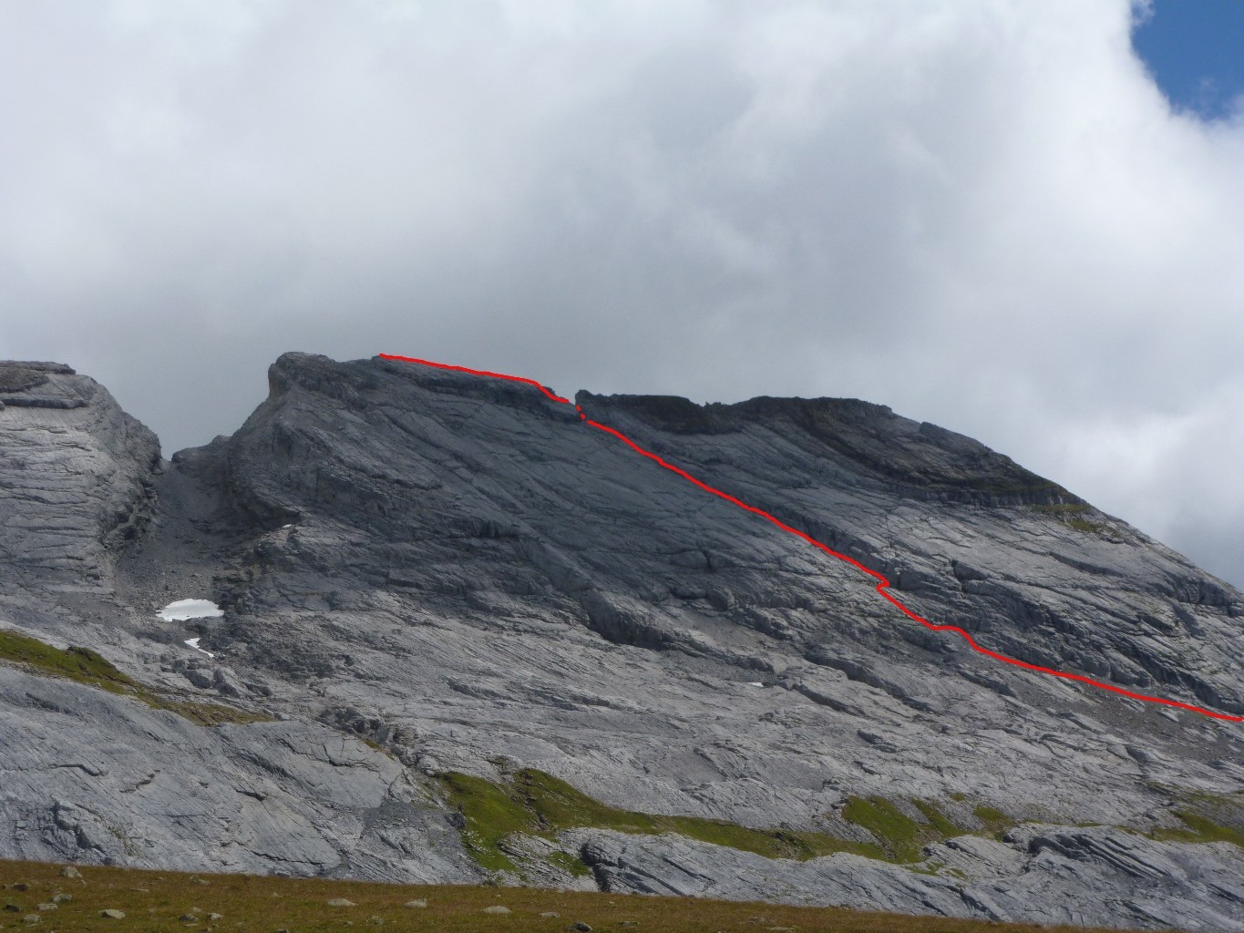
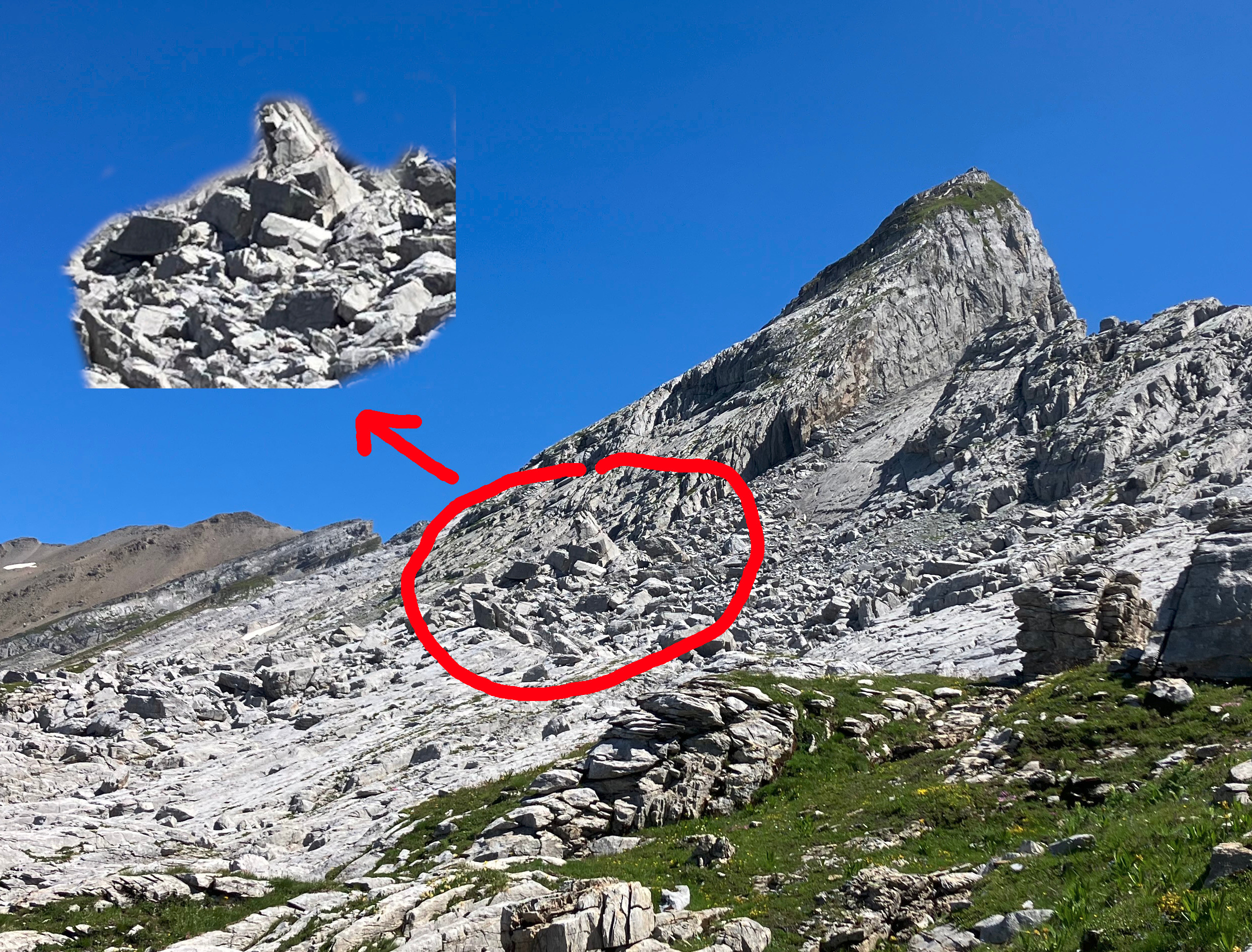
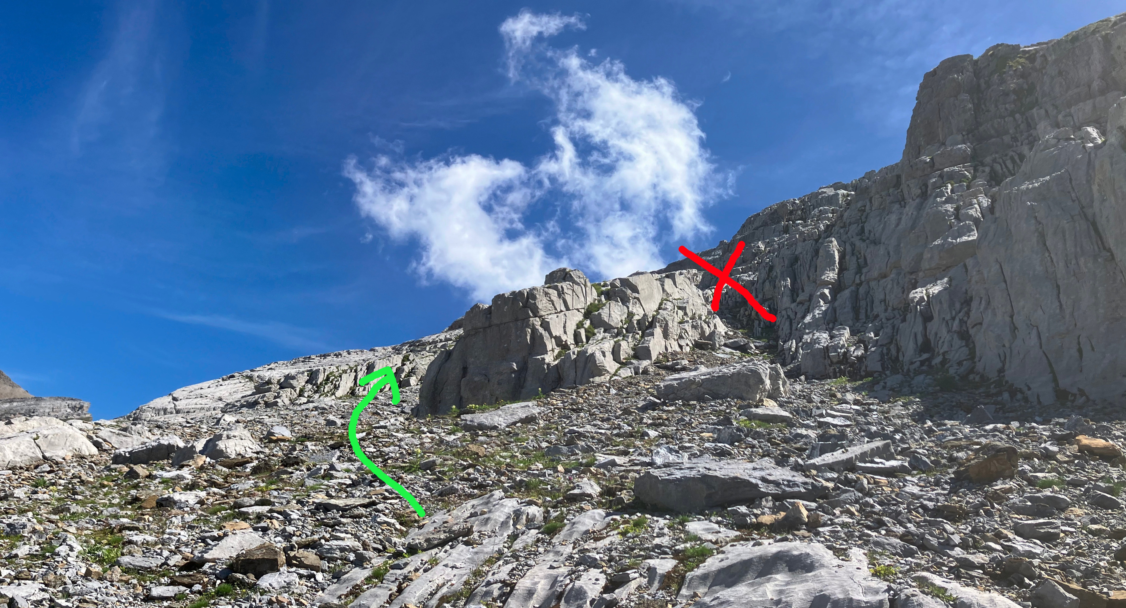
From the parking du Lignon (1180m) reach the Chalets de Sales (1875) and continue until the Brèche du Dérochoir (2171m). From there, follow the E ridge, on a trace marked by cairns and traverse under the Marteau (2289m). At this point the trace, always marked by cairns, abandons the ridge and starts crossing the lapies under the Crête des Hippocampes. A nice ramp brings to the base of the large breach between the Crête des Hippocampes and the Pointes d’Ayères. Continue crossing horizontally, in a chaotic area of big rocks. At the end of this chaotic area, a steep scree, marked by cairns, indicates the beginning of the couloir central. This can also be identified, looking down, by a snow field normally present in a limestone bowl. One can reach the actual beginning of the couloir, which is just above the scree but not immediately visible, following comfortable ledges, first on the left, then on the right. At about two third of the couloir, a cairn on the right indicates the way to the S summit. Otherwise, follow the couloir just to the top, at the breach between S and N summits. On the left, a short, exposed step, with good holds, allows to gain the NE ridge. The ridge cannot be simply follow right away. The difficulty can instead be bypassed by a short and exposed grassy ledge on left. A simple slope brings then to the ridge which is to be followed until the N summit.
Descend
Ascend Route
It is possible to descend for the ascend route, having to deal however with the exposed passages between the ridge and the breach.
Normal Route (This should actually be a separate itinerary)
Traverse the N summit in the NE direction, then start descending NW in the face, pointing to a visible cairn. Down-climb a delicate, exposed stony ridge for a few meters, then enter into the channel on the left. Descend to the base of the channel then traverse right (NE) to reach the edge of an important fault hosting a large scree (snow field). In order to reach the scree, traverse SE, under the N summit, through a stony ramp and large ledges in the direction a the clearly visible col. From the col, descend along the screen until the base of the summit slopes.
Once at the base of the Pointes d’Ayères summit slopes, one can return to the Chalets de Sales on the trail that from the latter mounts to the Les Salamanes pastures. In order to reach it, proceed N, pointing the scree at the base of the Tête à l’Âne. Cross the lapies at base of the Les Jumelles, Pointe de la Ratelière and Pointe d’Anterne trying to not descend too much until you reach the pastures almost under Tête à l’Âne. Descend now the pastures in the W direction: you should reach their edge just above the chalets, with Tête à l’Âne right behind you. Here a big cairn indicates the very evident path that winds down to the Chalets des Sales.

The text and images in this page are available
under a Creative Commons CC-by-sa licence.

Download the Whympr App to view this route in 3D.
- Route search (100 000)
- Community returns
- Weather forecast
- Avalanche bulletin
- Race book
- Creation of tracks
- Topographic map (including IGN)