

Open this route in the app to prepare your next outing.

Details
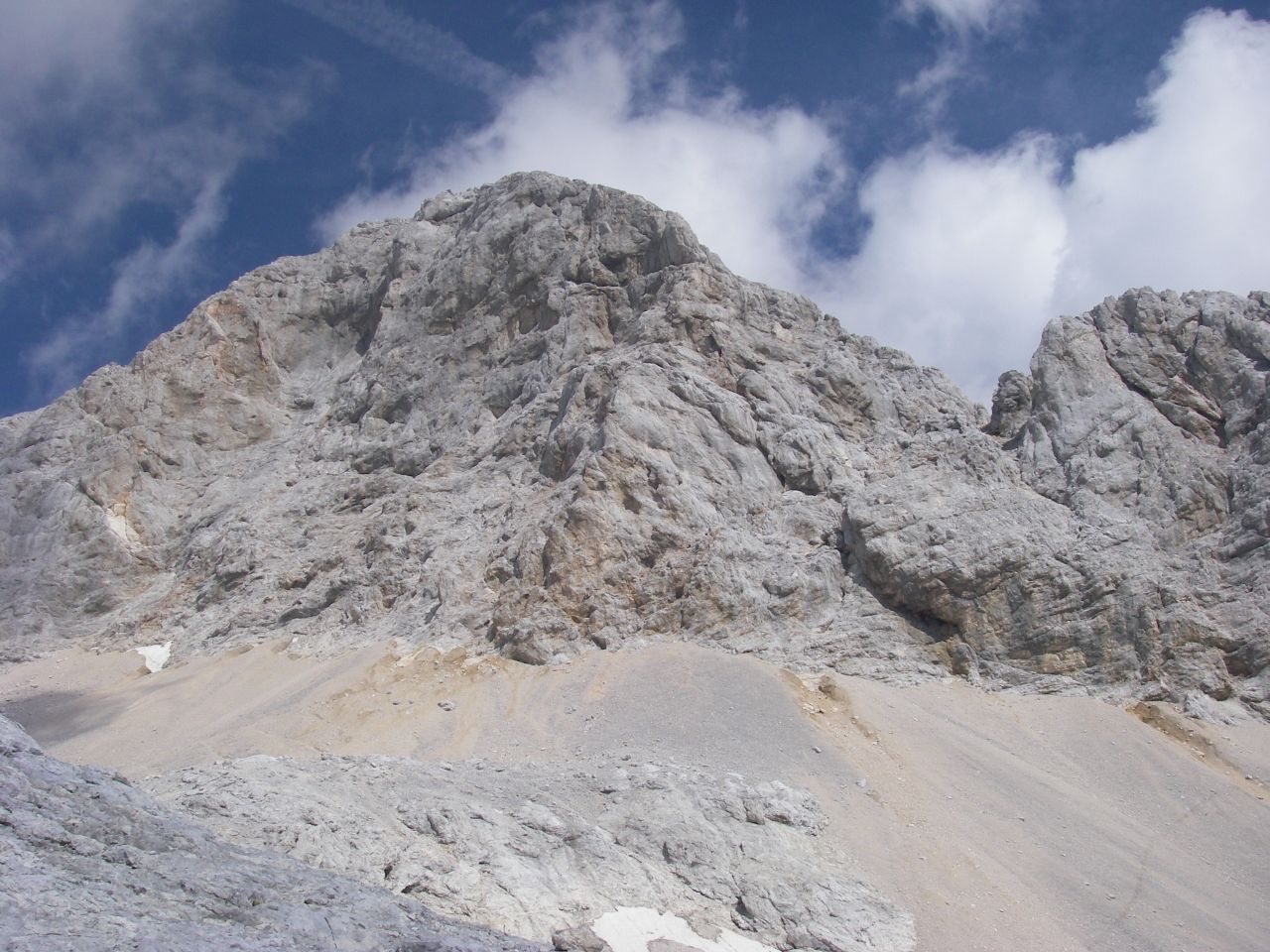
From the Koča na Doliču mountain hut (also called Tržaška koča), take at first the path going down into the Zadnjica valley. After about 100m take the path that branches to the right, up towards Triglav. At first it is a nice mule trail that goes up a cliff, and then a flat trail that meanders in a lunar world (follow the cairns).
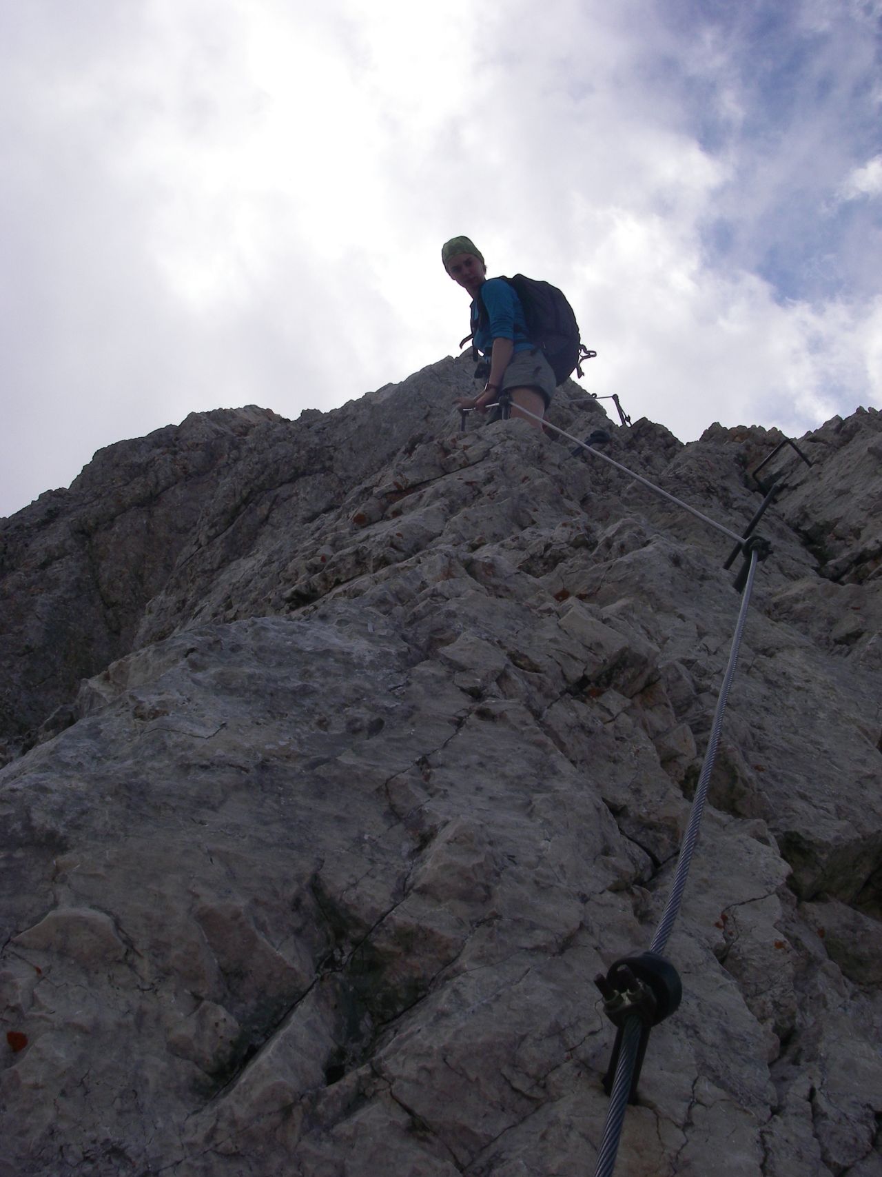
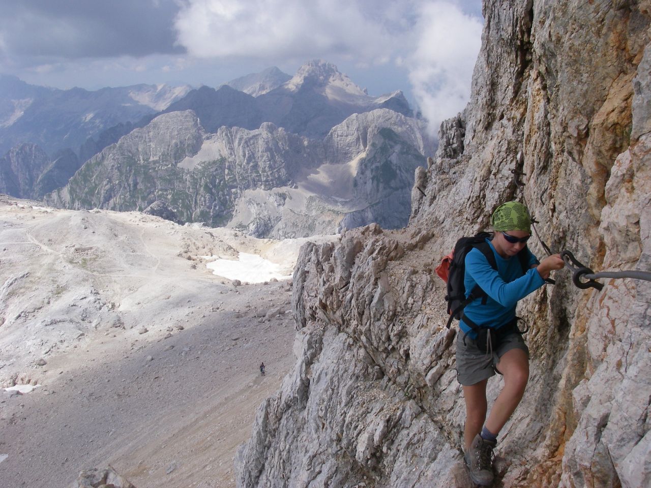
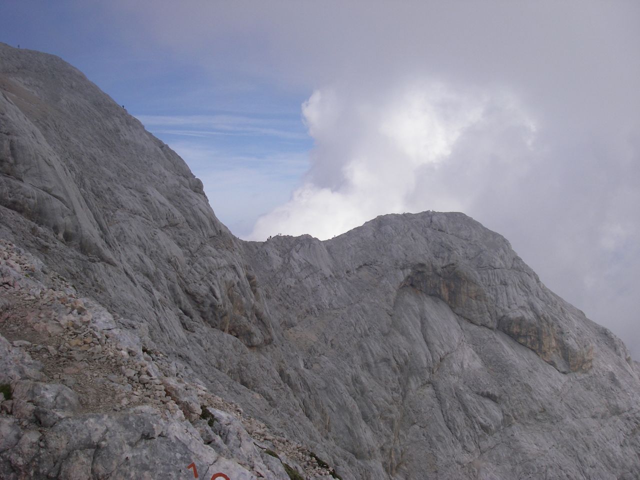
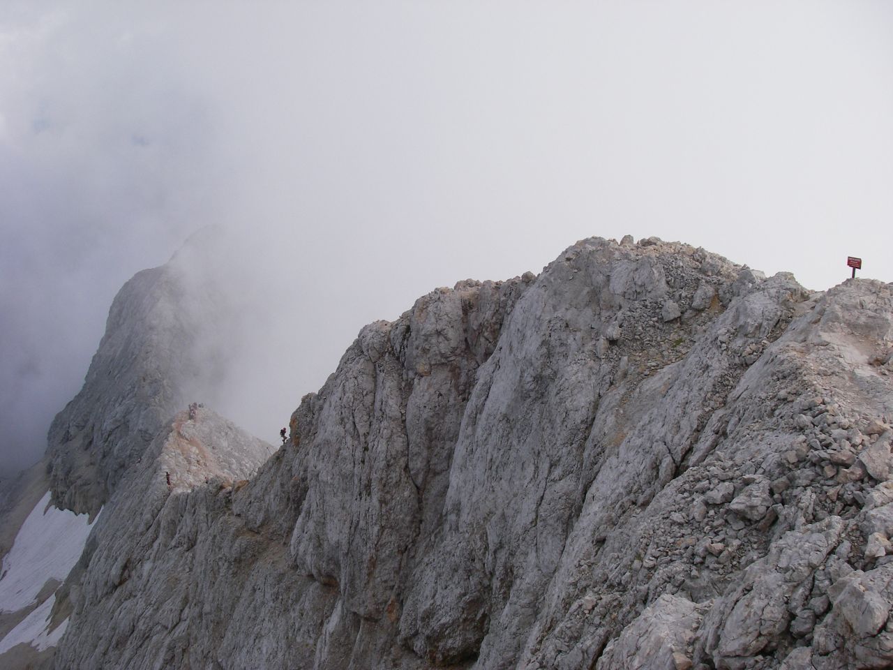
At the col, go straight up the short scree which leads to the foot of the rocky outcrop. The foot of this cliff is where the first section equipped with cables and pegs begins, going to the right up a notch. The 2 or 3 steps along cables are not complicated, but of course one should not fall. At the exit of this passage, reach a small pass/notch (Triglavska škrbina, 2659m) where the view opens to the E. Go to the left for a few meters and find the start of the second secured section that further leads to the summit along the S ridge. Cables, pins, walking/easy climbing.

The text and images in this page are available
under a Creative Commons CC-by-sa licence.

Download the Whympr App to view this route in 3D.
- Route search (100 000)
- Community returns
- Weather forecast
- Avalanche bulletin
- Race book
- Creation of tracks
- Topographic map (including IGN)