

Open this route in the app to prepare your next outing.

Details
The easiest route on the crag.
Approach
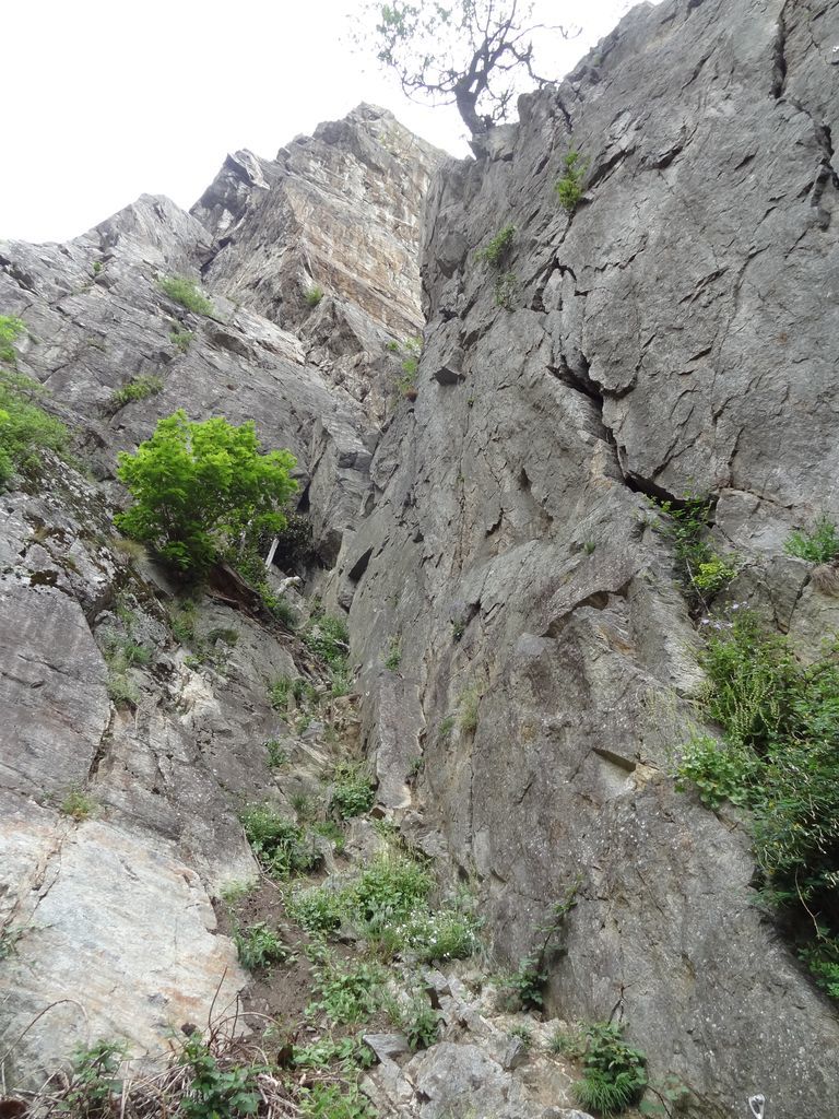
Take the national road from Martigny direction St Maurice and a few hundred metres after the little village of Mieville turn left up a track just after the Combusta petrol station. Park at the end of the this track. Take the path at the from the parking and where it starts to go along a wall of the avalanche defences go straight on up to the foot of the crag. The route starts up a corner on the right hand side of the main climbing area. 10-15mins.
Route
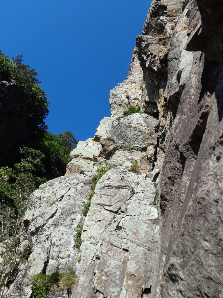
L# | 3a | Scramble to the true start of the route L# | 5a | L# | 5b | L# | 4a | Rising traverse leftwards L# | 5b | Up the corner L# | 4a | Continue up the corner
Descent
Follow the path which descends to the left of the crag (looking down) and brings you back to the approach path not far from the car.
It is possible to link some of the pitches together. Gear up at the car to avoid having to walk back up for the sacks.

The text and images in this page are available
under a Creative Commons CC-by-sa licence.

Download the Whympr App to view this route in 3D.
- Route search (100 000)
- Community returns
- Weather forecast
- Avalanche bulletin
- Race book
- Creation of tracks
- Topographic map (including IGN)