

Open this route in the app to prepare your next outing.
Min / max altitude200m / 400m
Duration1 day
Main facingN
Route typeLoop
Source
Details
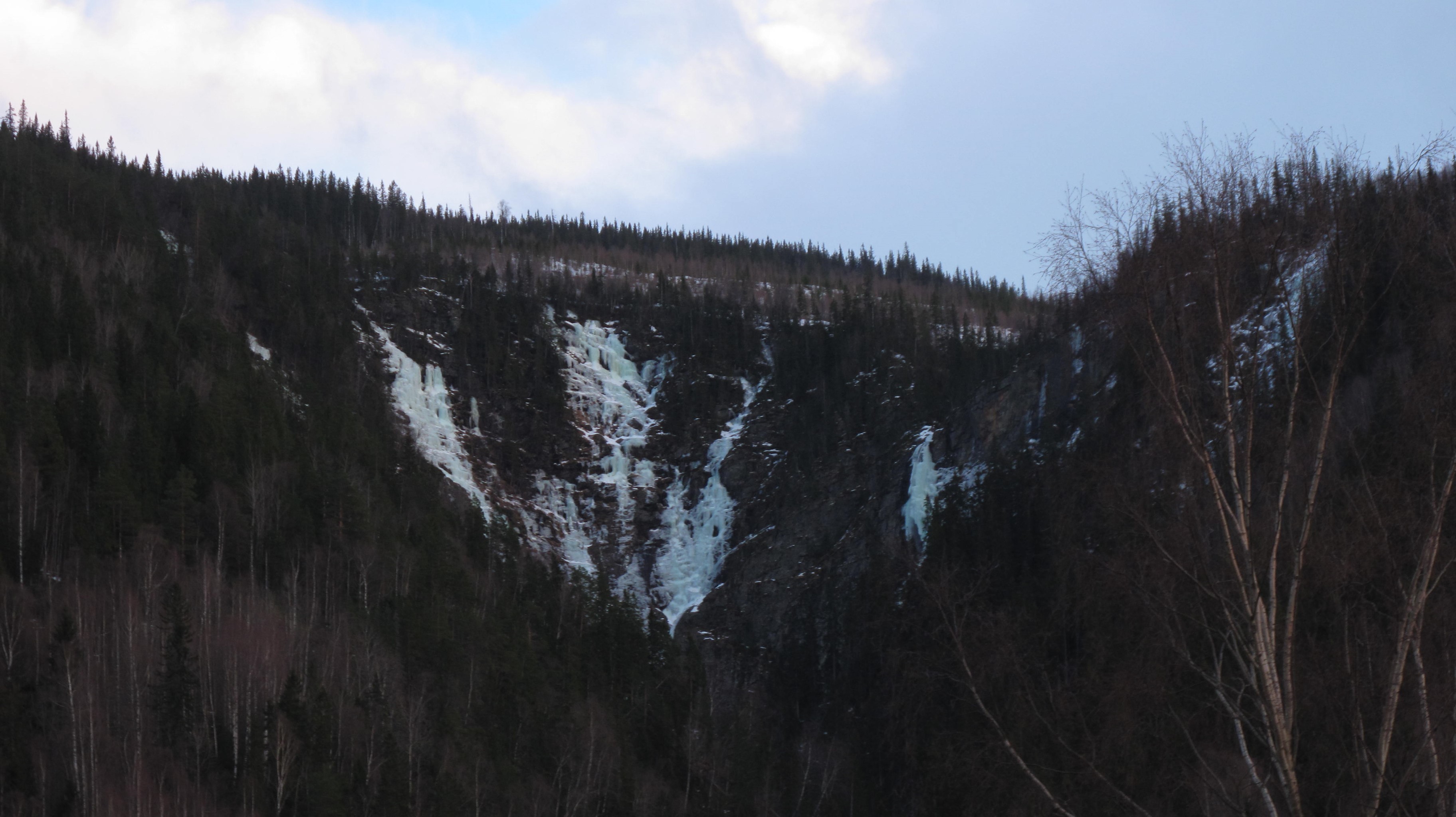
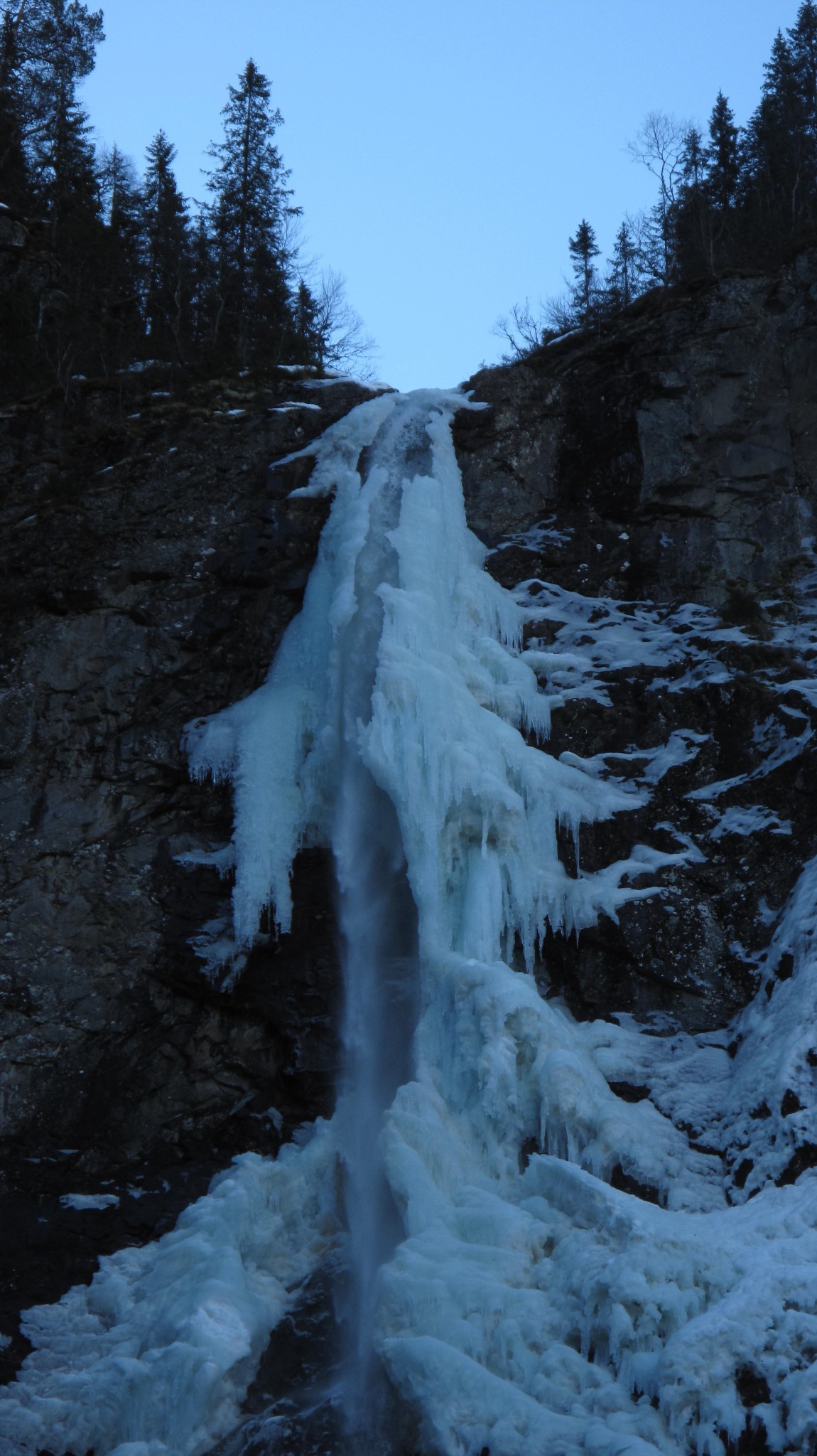
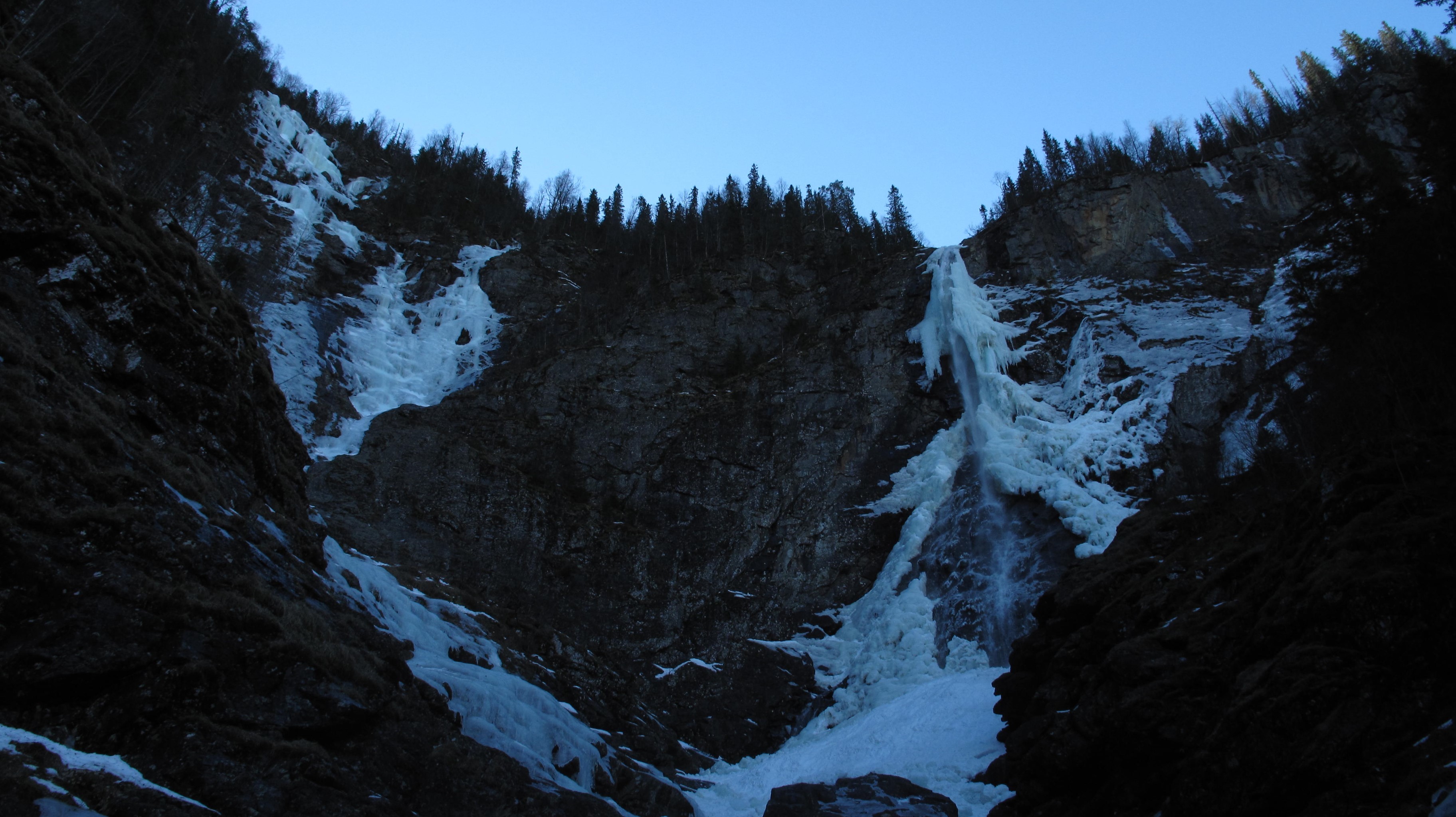
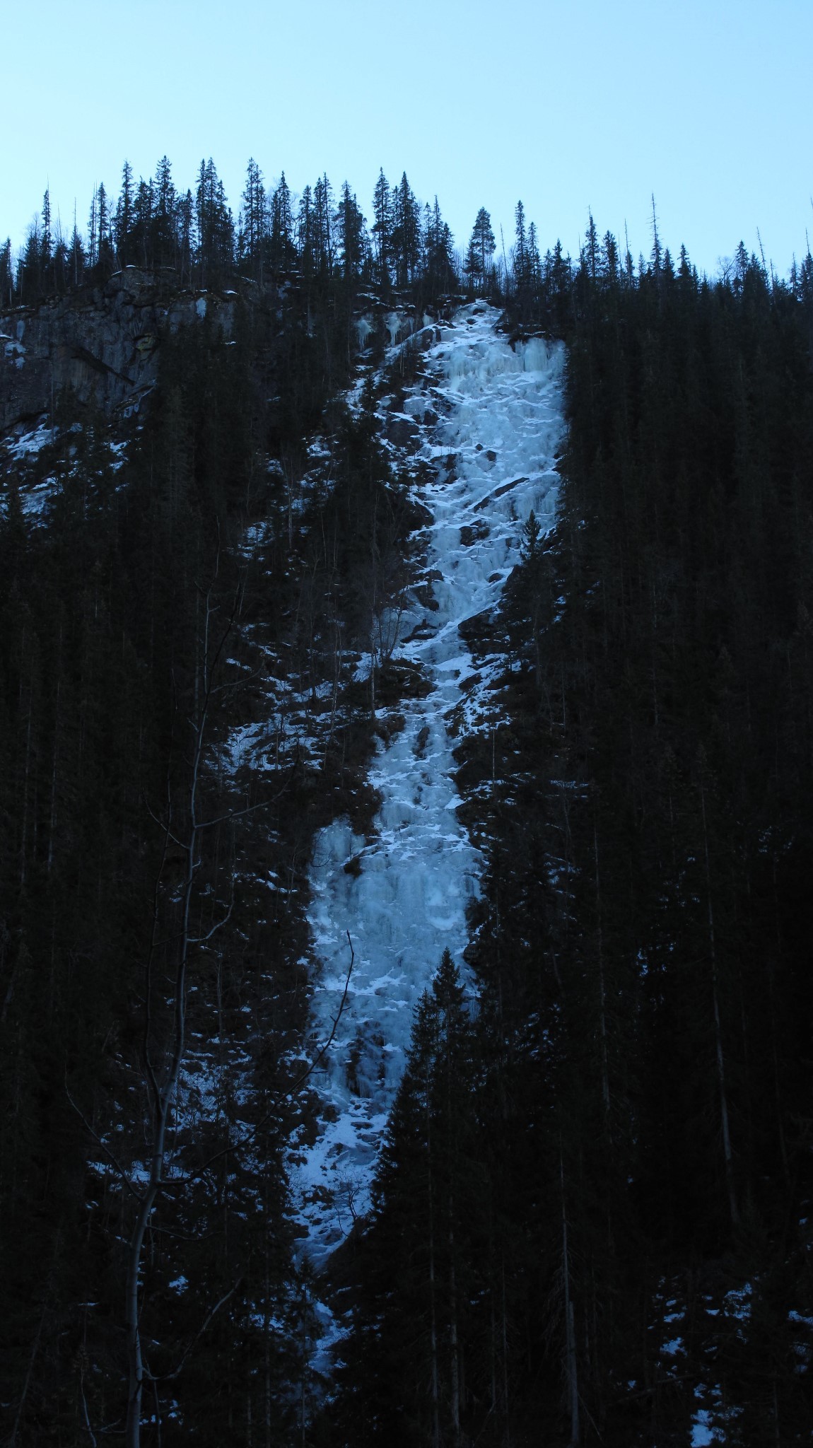
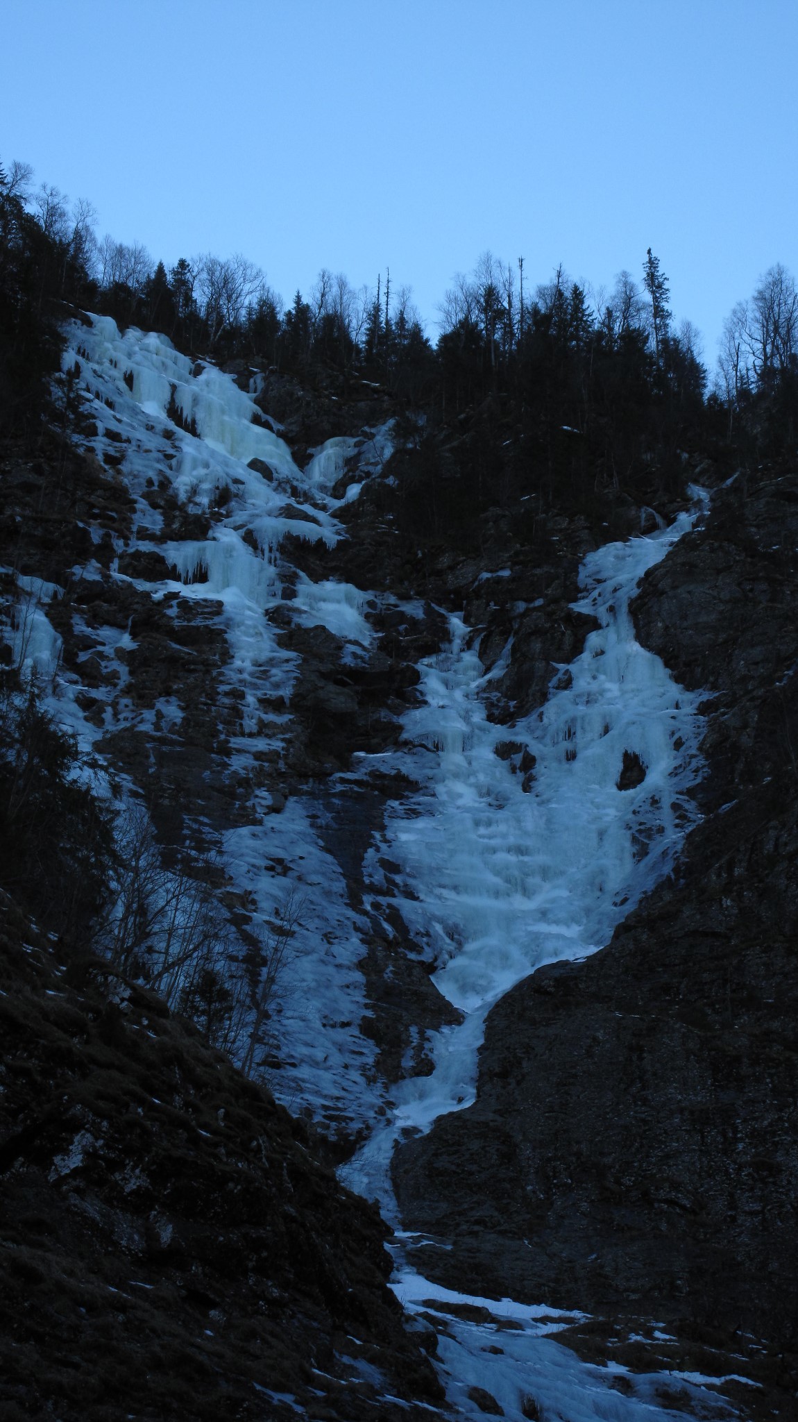
Cascade en 4 longueurs généralement en bonne glace. Belle ambiance dans l’amphithéâtre. L’approche se fait par un rappel sur arbre (coordonnées GPS: 32V 489313 - 6642437) situé à 100 m du premier virage en U du chemin, par une traversée légèrement ascendante. On descend ensuite au mieux dans le couloir ou en traversant vers l’amphithéâtre (assez expo).

The text and images in this page are available
under a Creative Commons CC-by-sa licence.

Download the Whympr App to view this route in 3D.
- Route search (100 000)
- Community returns
- Weather forecast
- Avalanche bulletin
- Race book
- Creation of tracks
- Topographic map (including IGN)