

Open this route in the app to prepare your next outing.
Min / max altitude1246m / 1350m
Duration1 day
Main facingNE
Route typeReturn the same way
Source
Details
Approche## 15min
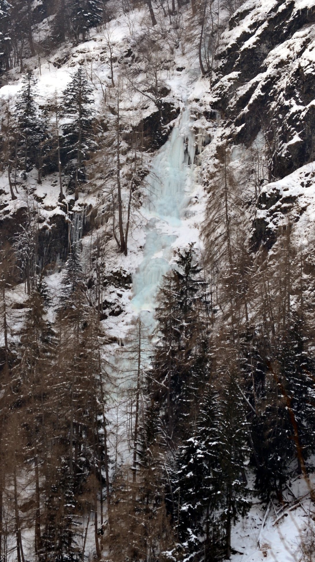
Du parking, passer un pont et suivre la piste Forestière du Roy vers le fond de la vallée sur 1 km. Puis à vue en direction de la cascade versant N en traversant au mieux la Muande et en remontant jusqu’au pied.
Itinéraire
Voir photo.
Descente
En rappel.

The text and images in this page are available
under a Creative Commons CC-by-sa licence.

Download the Whympr App to view this route in 3D.
- Route search (100 000)
- Community returns
- Weather forecast
- Avalanche bulletin
- Race book
- Creation of tracks
- Topographic map (including IGN)