

Open this route in the app to prepare your next outing.
Min / max altitude1200m / 1450m
Duration2 hours 55 minutes
Main facingE
Route typeReturn the same way
Source
Details
Approach
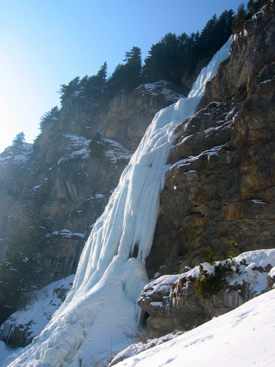
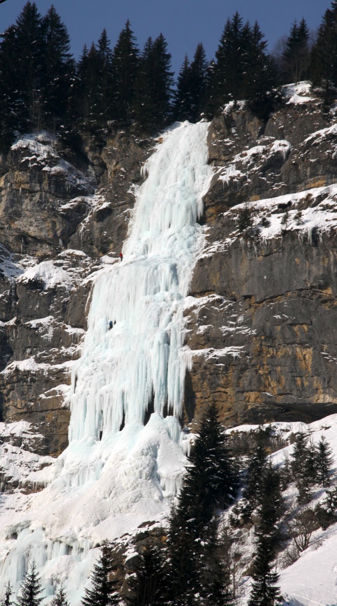
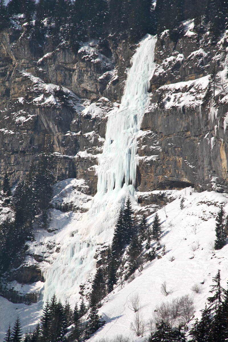
From Chatel drive along the D220 past Villapeyron and the Linga telecabin to a parking at the foot of the Essert Cascade. Go up through the woods following the torrent to the foot of the icefall.
Route
P1 Not very steep, 3 Aboput 50m P2 Crux pitch, steep, 4/4+ on the left, (loking up,) 5+ to the right. P3 Less steep but still sustained. Belay at a broad, level area. P4 The last pitch remains long and sustained.
Descent
Abseil, using the chain belays on the true left bank.

The text and images in this page are available
under a Creative Commons CC-by-sa licence.

Download the Whympr App to view this route in 3D.
- Route search (100 000)
- Community returns
- Weather forecast
- Avalanche bulletin
- Race book
- Creation of tracks
- Topographic map (including IGN)