

Open this route in the app to prepare your next outing.
Min / max altitude1100m
Duration1 day
Route typeTraverse
Source
Details
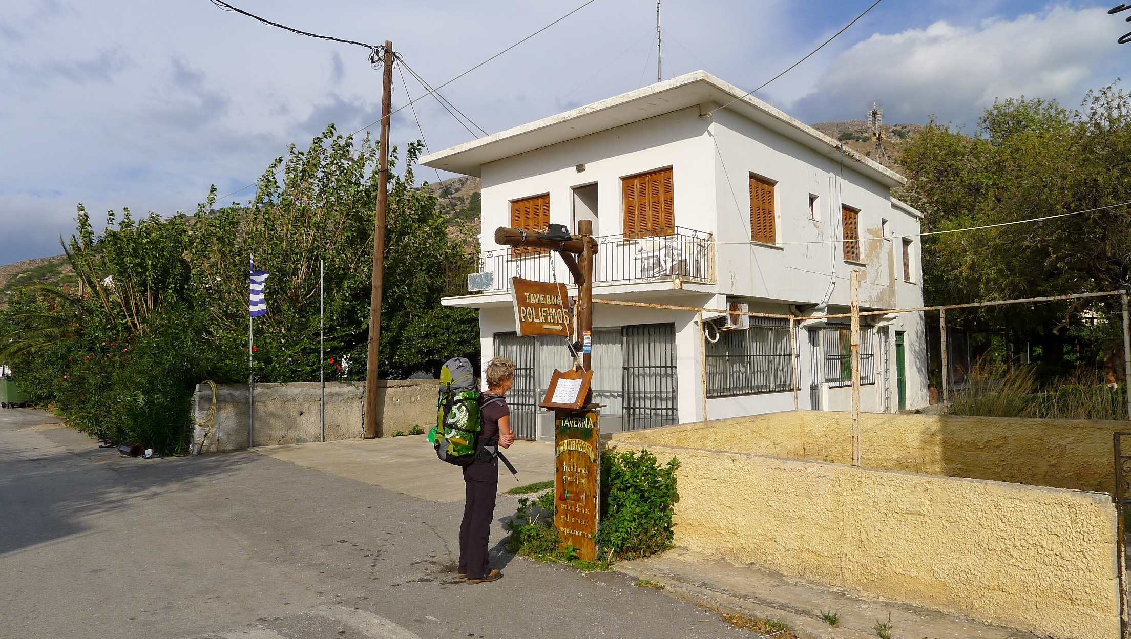
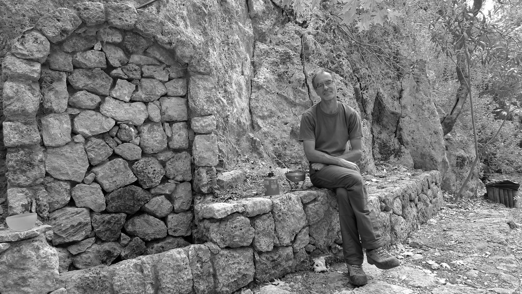
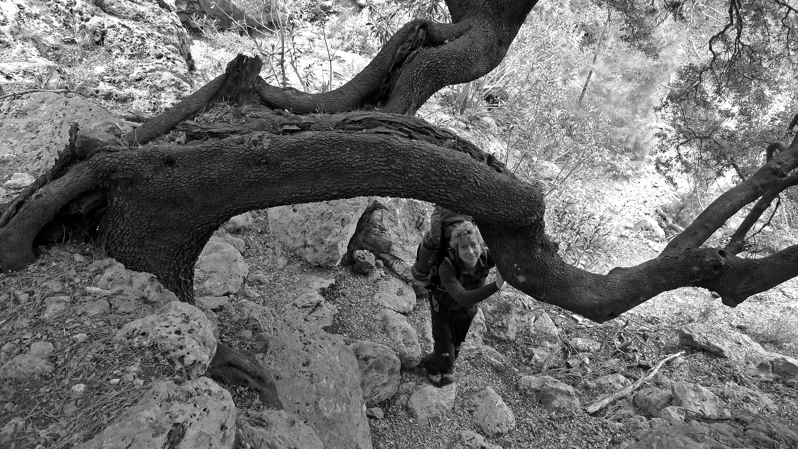
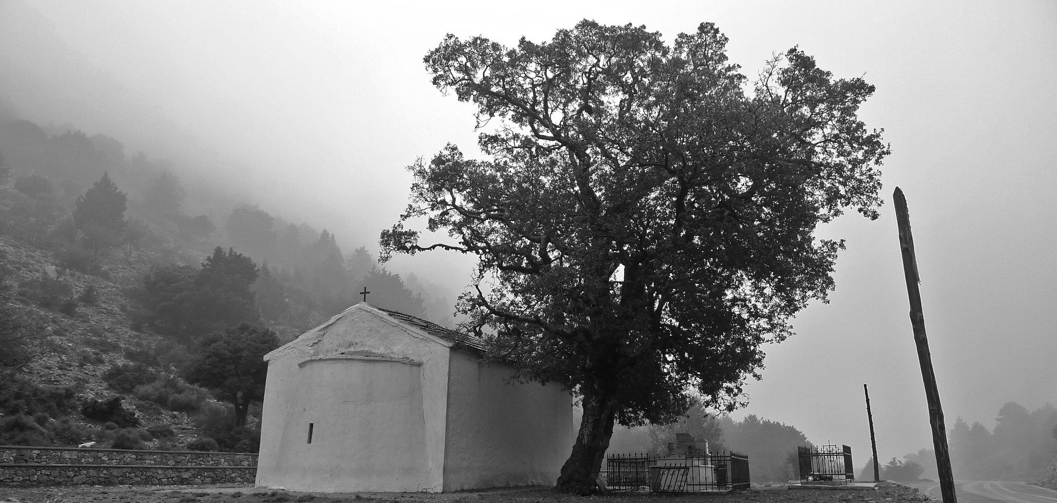
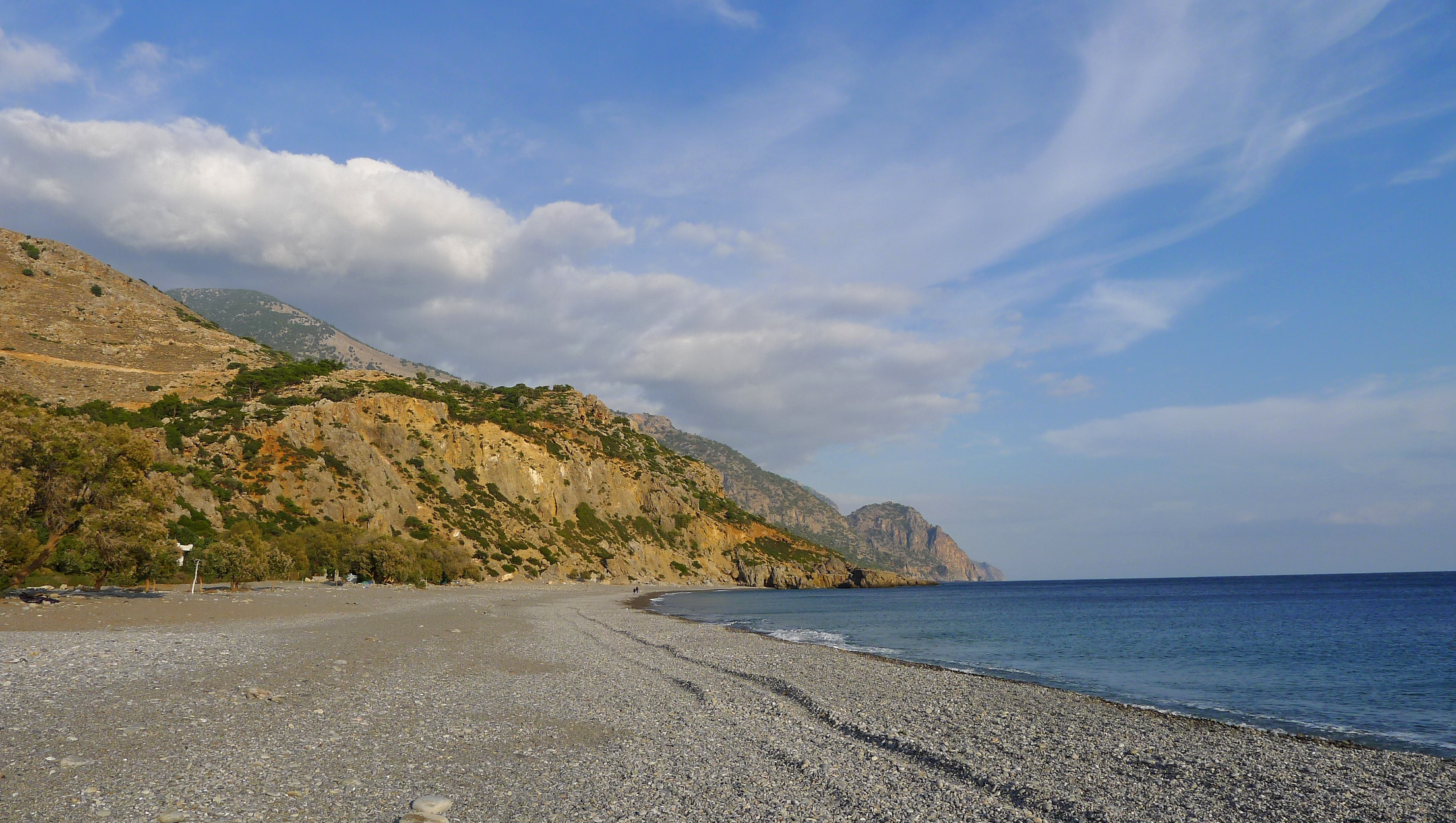
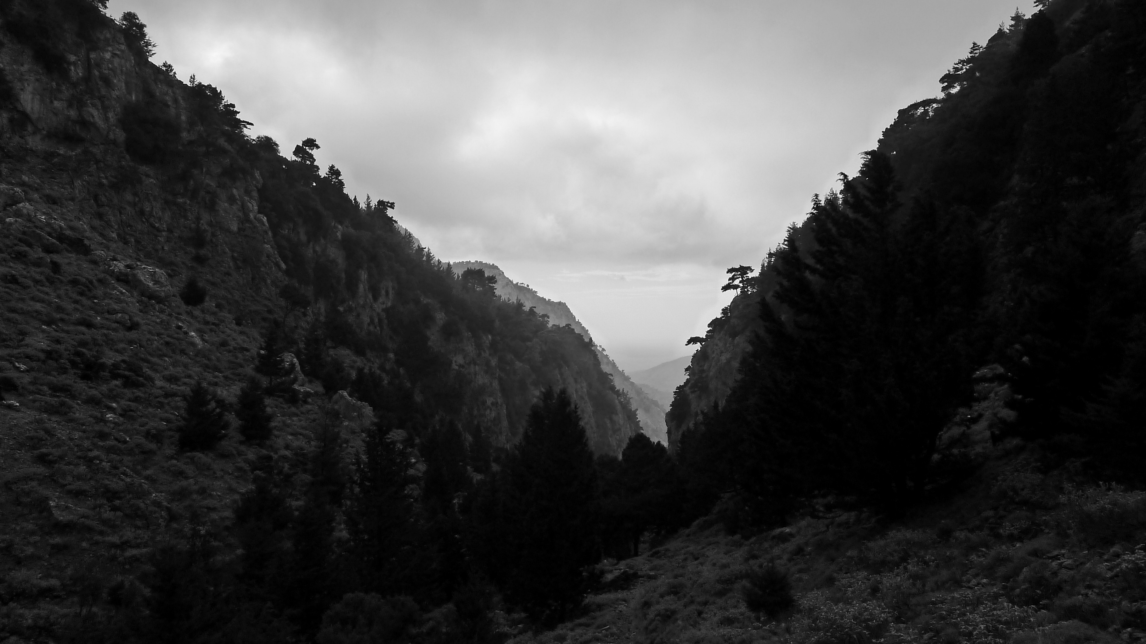
Omalos prendre la direction de la chapelle d’Aghios Théodori, continuer sur la route et ne pas suivre le balisage E4. On découvre sur la gauche un vieux sentier muletier qui descend et arrive à un croisement. Prendre à G pour descendre dans les gorges. On trouve un abri forestier en excellent état (bivouac possible : eau un peu plus bas, après un croisement de chemins). On continue alors à suivre ces gorges avec plusieurs aires de pique-nique aménagés pour déboucher sur la route qui mène en 3 km à Soughia.

The text and images in this page are available
under a Creative Commons CC-by-sa licence.

Download the Whympr App to view this route in 3D.
- Route search (100 000)
- Community returns
- Weather forecast
- Avalanche bulletin
- Race book
- Creation of tracks
- Topographic map (including IGN)