

Open this route in the app to prepare your next outing.
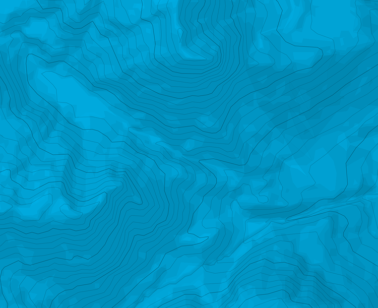
Min / max altitude2100m / 2848m
Duration2 days
Route typeLoop
Source


Download the Whympr App to view this route in 3D.
- Route search (100 000)
- Community returns
- Weather forecast
- Avalanche bulletin
- Race book
- Creation of tracks
- Topographic map (including IGN)