

Open this route in the app to prepare your next outing.
Min / max altitude2081m / 3538m
Duration7 hours 47 minutes
Main facingNW
Route typeReturn the same way
GearCrampons (partie finale), piolet si très enneigé en haut.
Source
Details
Subida
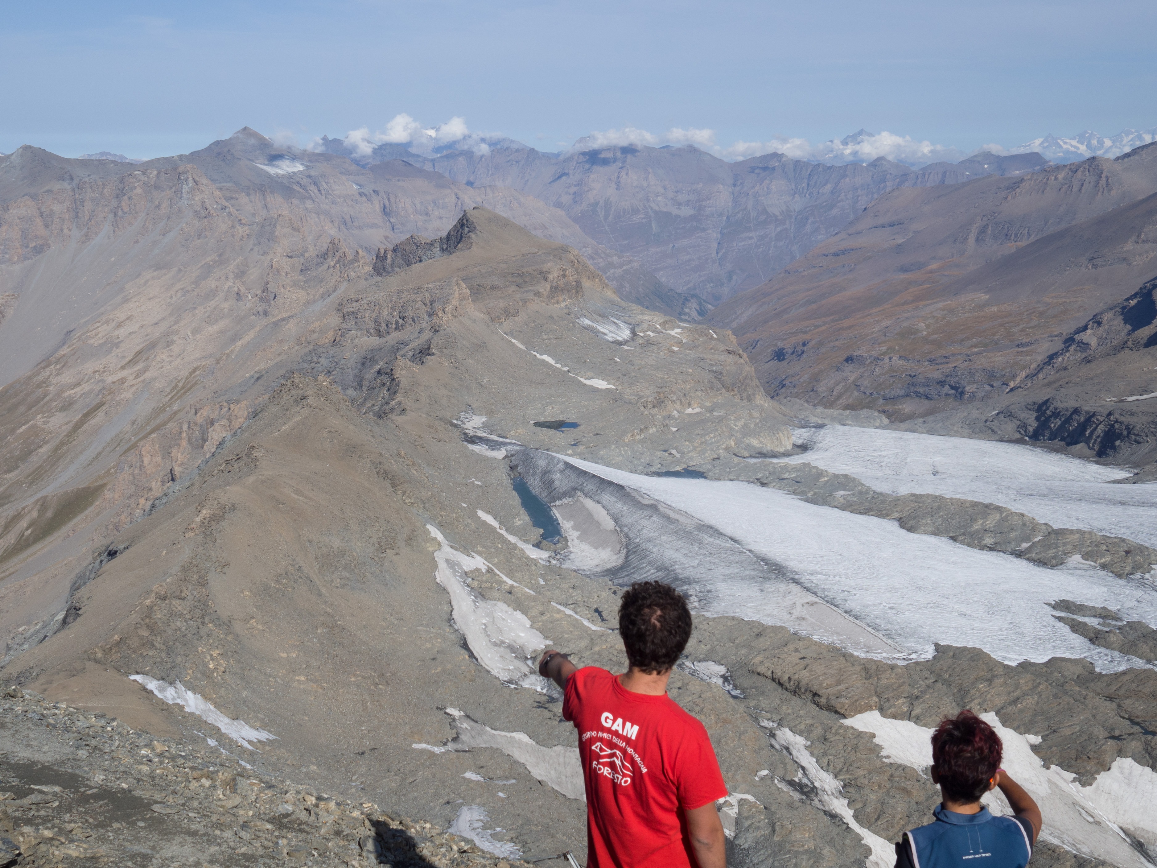
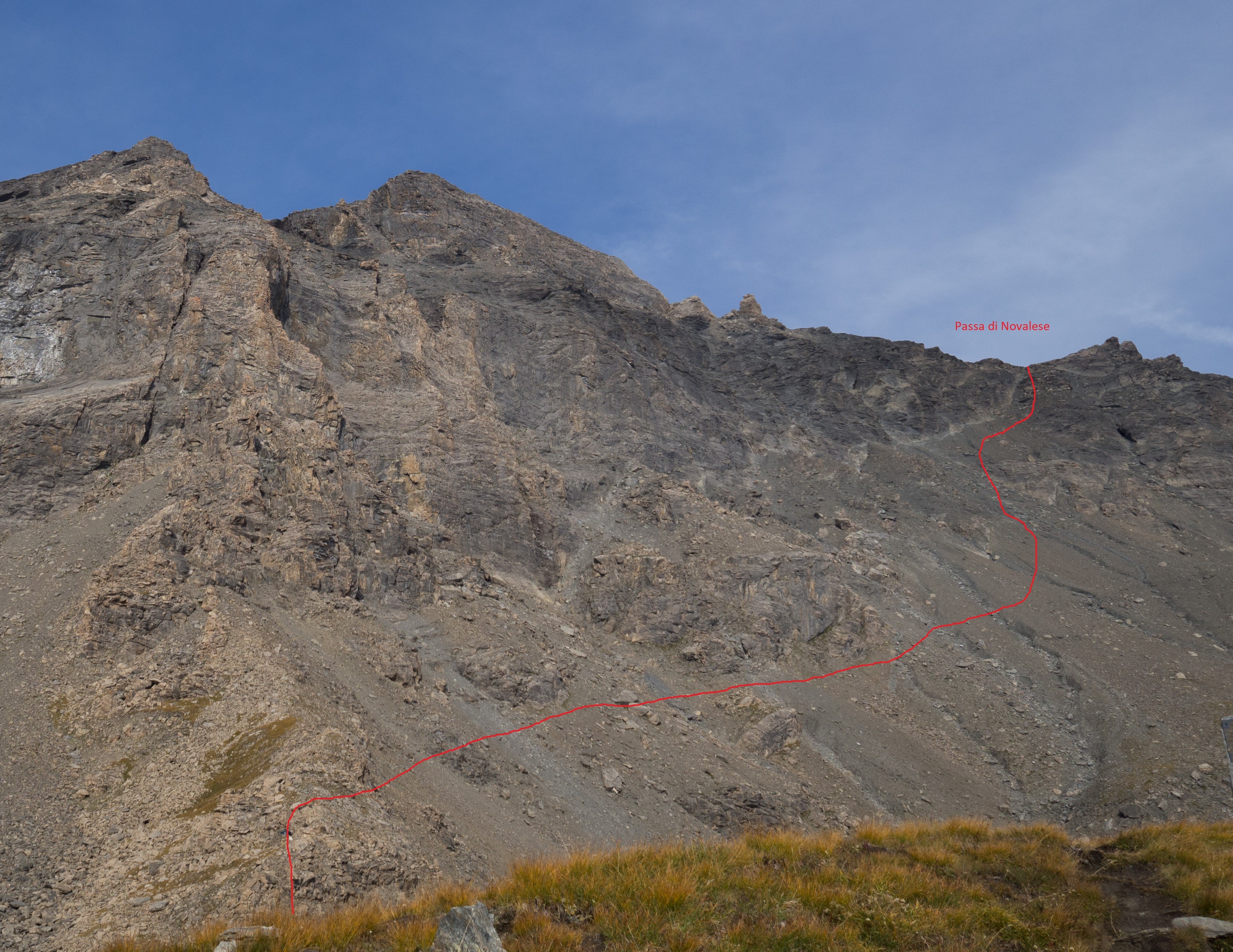
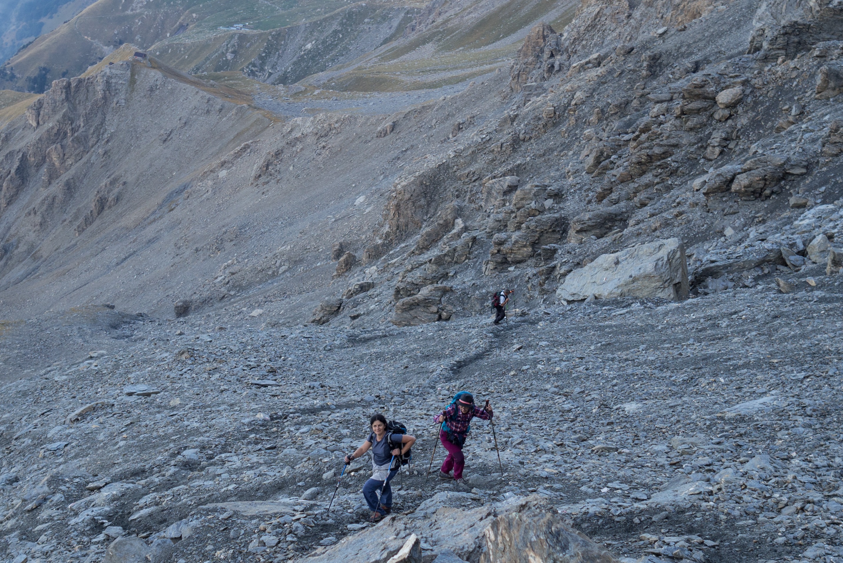
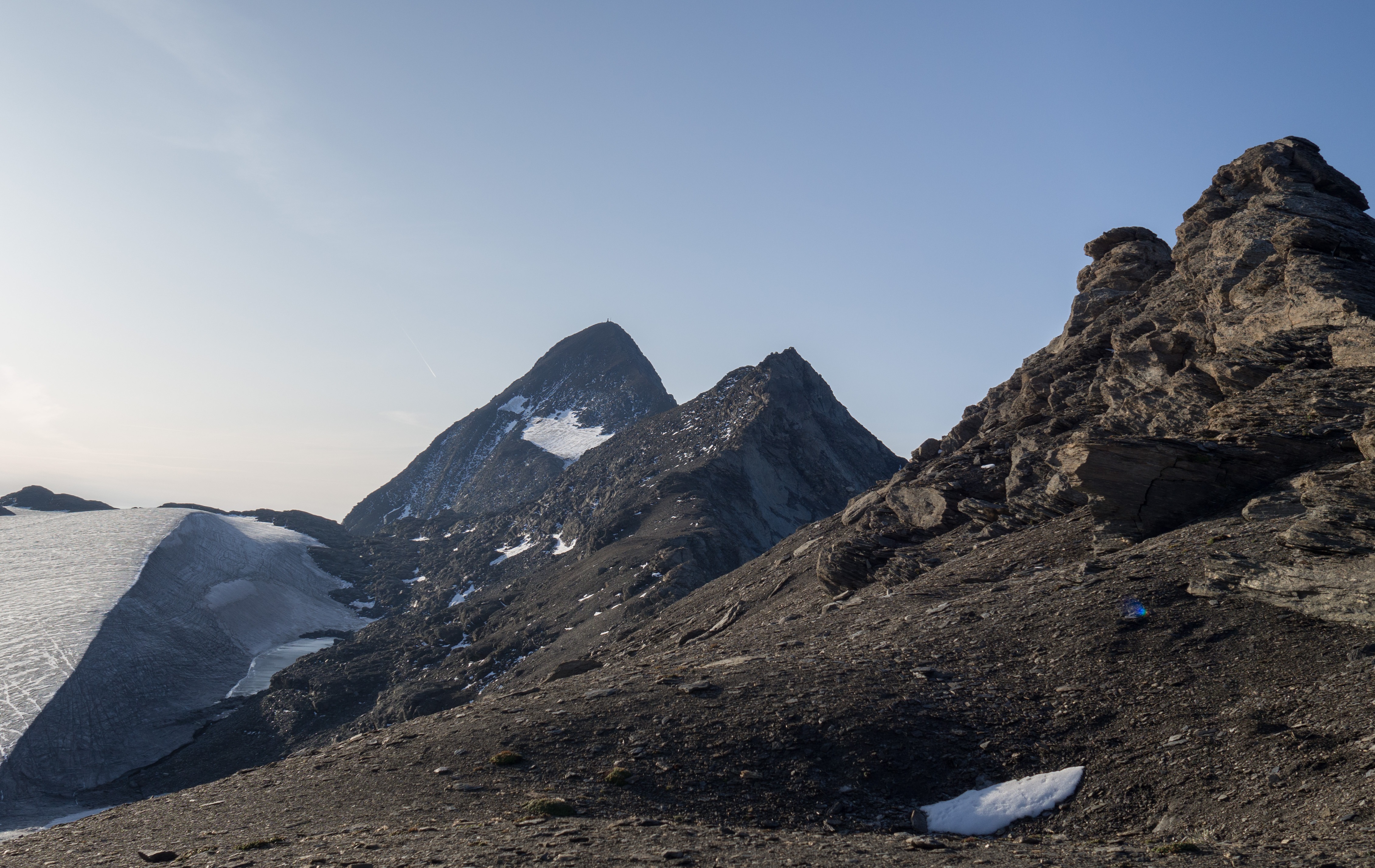
Col du Mont Cenis]] >orilla izquierda del lago > apriscal Alpe Tour (2126 m) > [[waypoints/305088|refuge Stellina > Col de Novalèse > arista NW de Rochemelon.
Bajada
Por el itinerario de ida o por la vertiente N.

The text and images in this page are available
under a Creative Commons CC-by-sa licence.

Download the Whympr App to view this route in 3D.
- Route search (100 000)
- Community returns
- Weather forecast
- Avalanche bulletin
- Race book
- Creation of tracks
- Topographic map (including IGN)