

Open this route in the app to prepare your next outing.
Tour des Dents Blanches

Details
Tour duration: 1.5 days.
Day 1 # Plateau de Barme - Cabane de Susanfe - 3h +900m/-300m
From the plateau de Barme take the direction of Bonavau - E. It is possible to stop at the beautifully maintained Cabane de Bonavau (very good home made tarts). Then head to the Pas d’Encel (T3) - S - some chains and high steps.
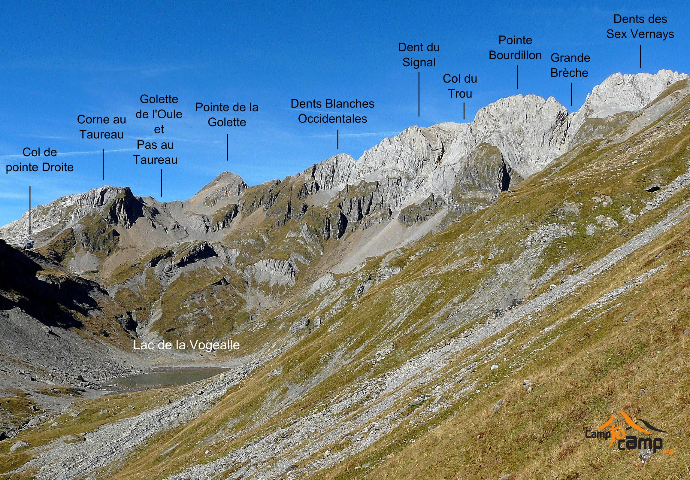
Day 2 # Cabane de Susanfe - Plateau de Barme through Col des Ottans, Lac de la Vogealle, Pas au Taureau, Col de Bostan and Pas de la Bide - 10h +1300m/-1900m
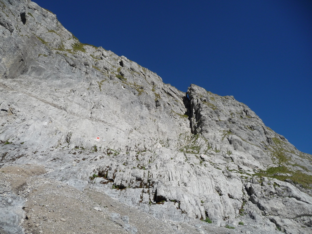
From la Cabane de Susanfe head W to the Col des Ottans (T4) - The passage goes through a fault in the cliff and is equipped with ladders (30m high). Passed the Col des Ottans, you climb the modest Tete des Ottans and then go down on French territory until the Lac de Vogealle (good spot for lunch!). Then up directly to the Pas du Taureau (the path is not clearly mentionned on the IGN map, but it is in fact really well signed posted). You then go down to the direction of Col de Bostan. The passage is equipped with chains. At an intersection, head E to Col de Bostan. Back in Switzerland! Go down for quite a while and finally reach the Pas de la Bide. A weird crack were you can bearely pass through. The passage is equipped with chain. After another 200m, finally reach Luibronne and flat land. Another half hour and you are back to Barme.

The text and images in this page are available
under a Creative Commons CC-by-sa licence.

Download the Whympr App to view this route in 3D.
- Route search (100 000)
- Community returns
- Weather forecast
- Avalanche bulletin
- Race book
- Creation of tracks
- Topographic map (including IGN)