

Open this route in the app to prepare your next outing.

Details
Approach
Drive up Valsavarenche to the parking in Pessey, (circa 1850m, 3kms before Pont) at the start of the path for the Chabod Hut, (signposted).
Ascent
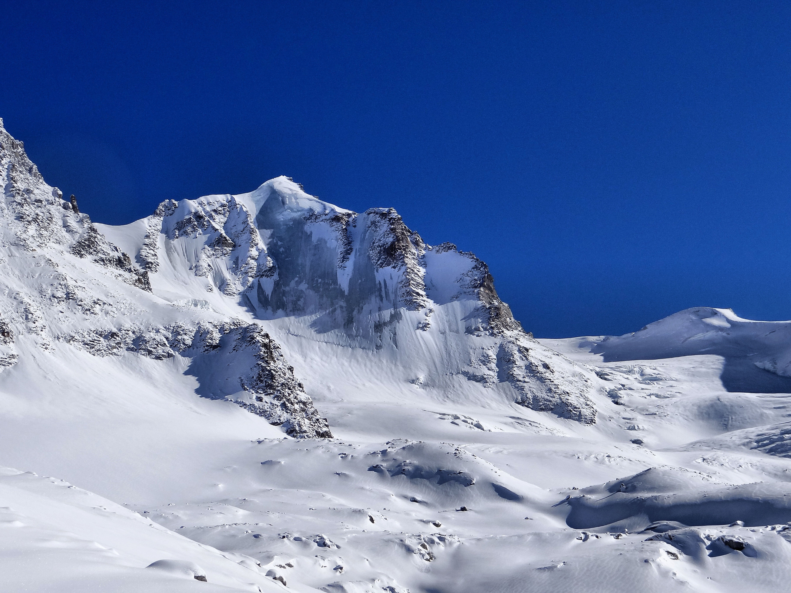
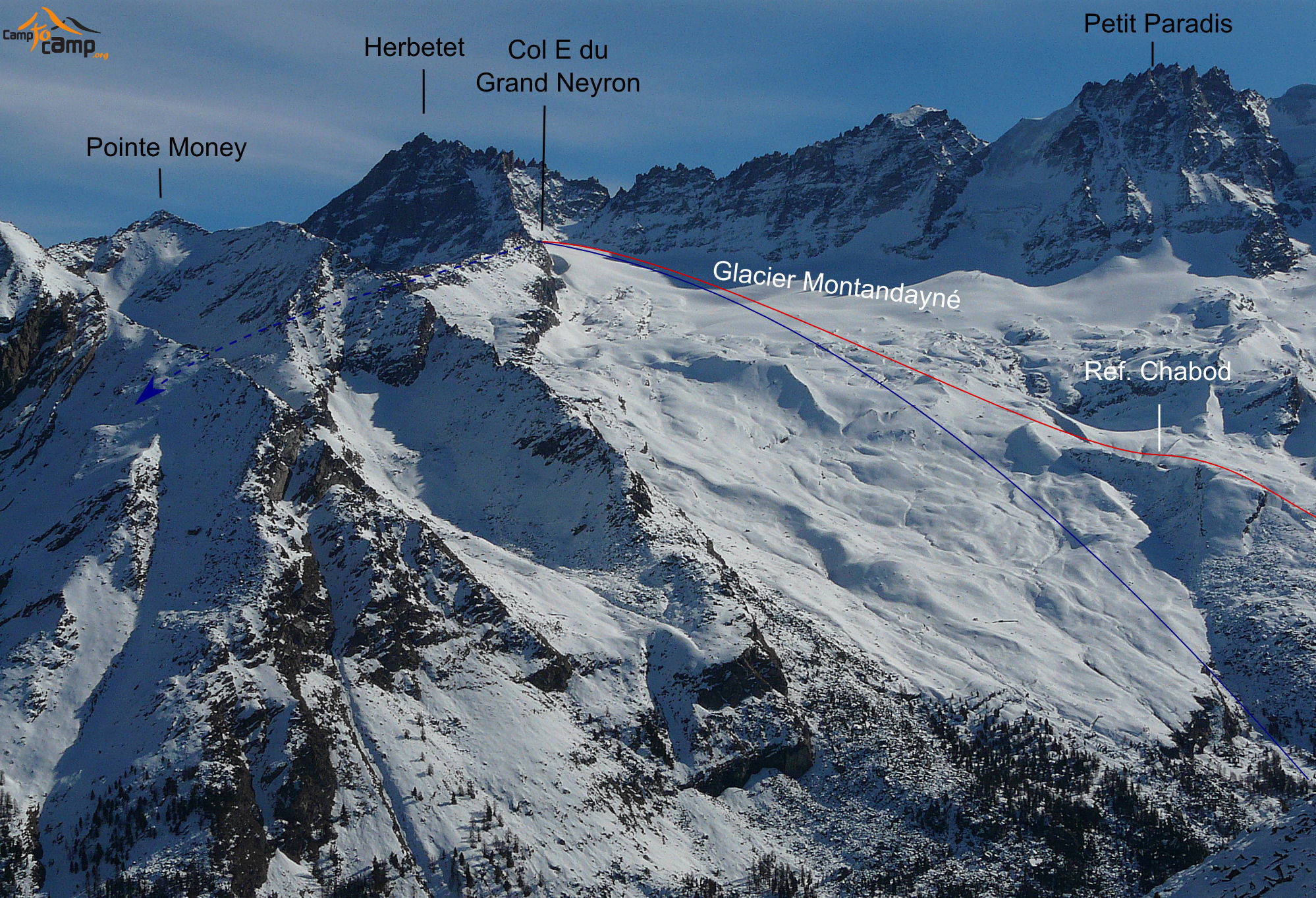
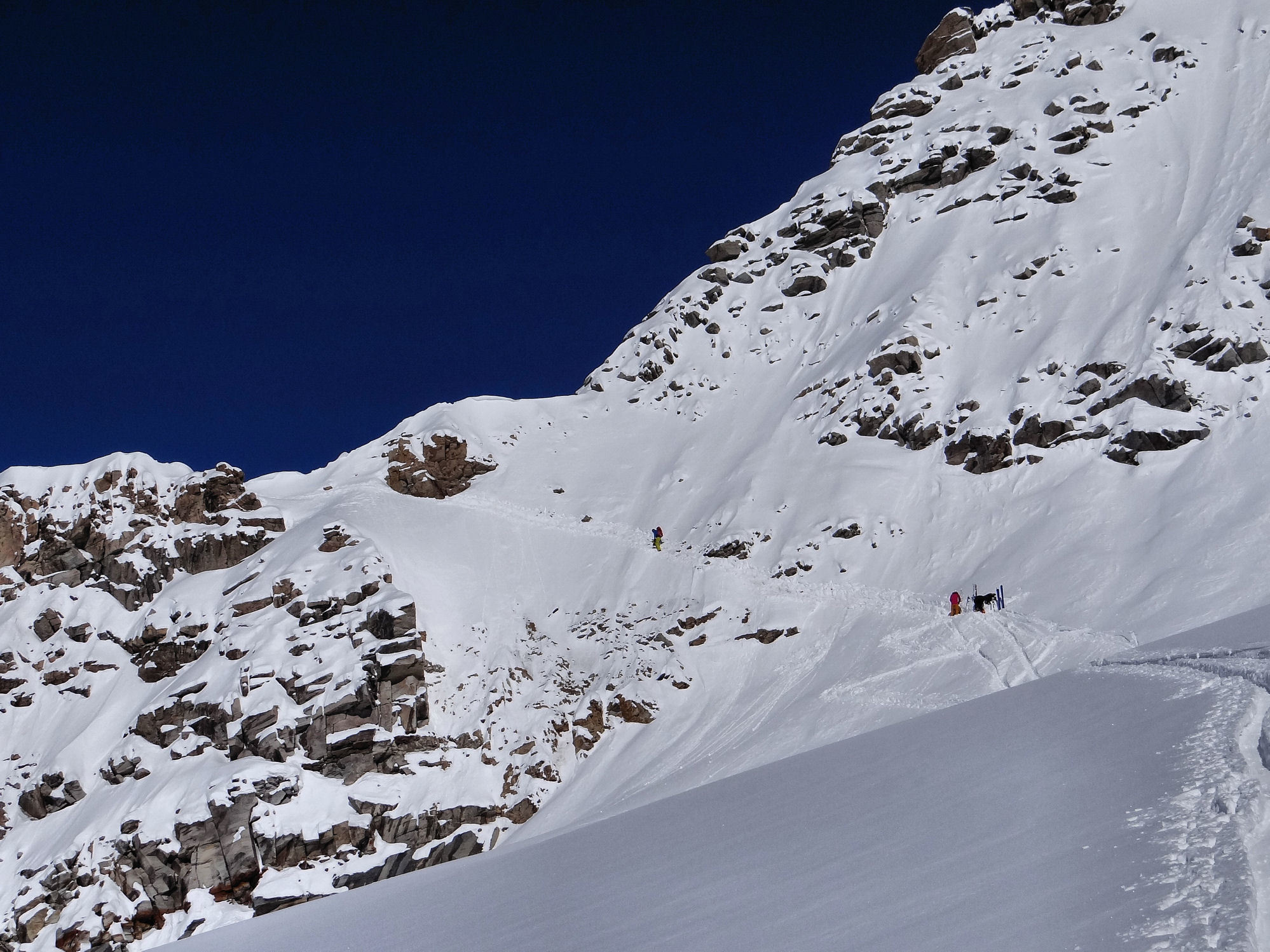
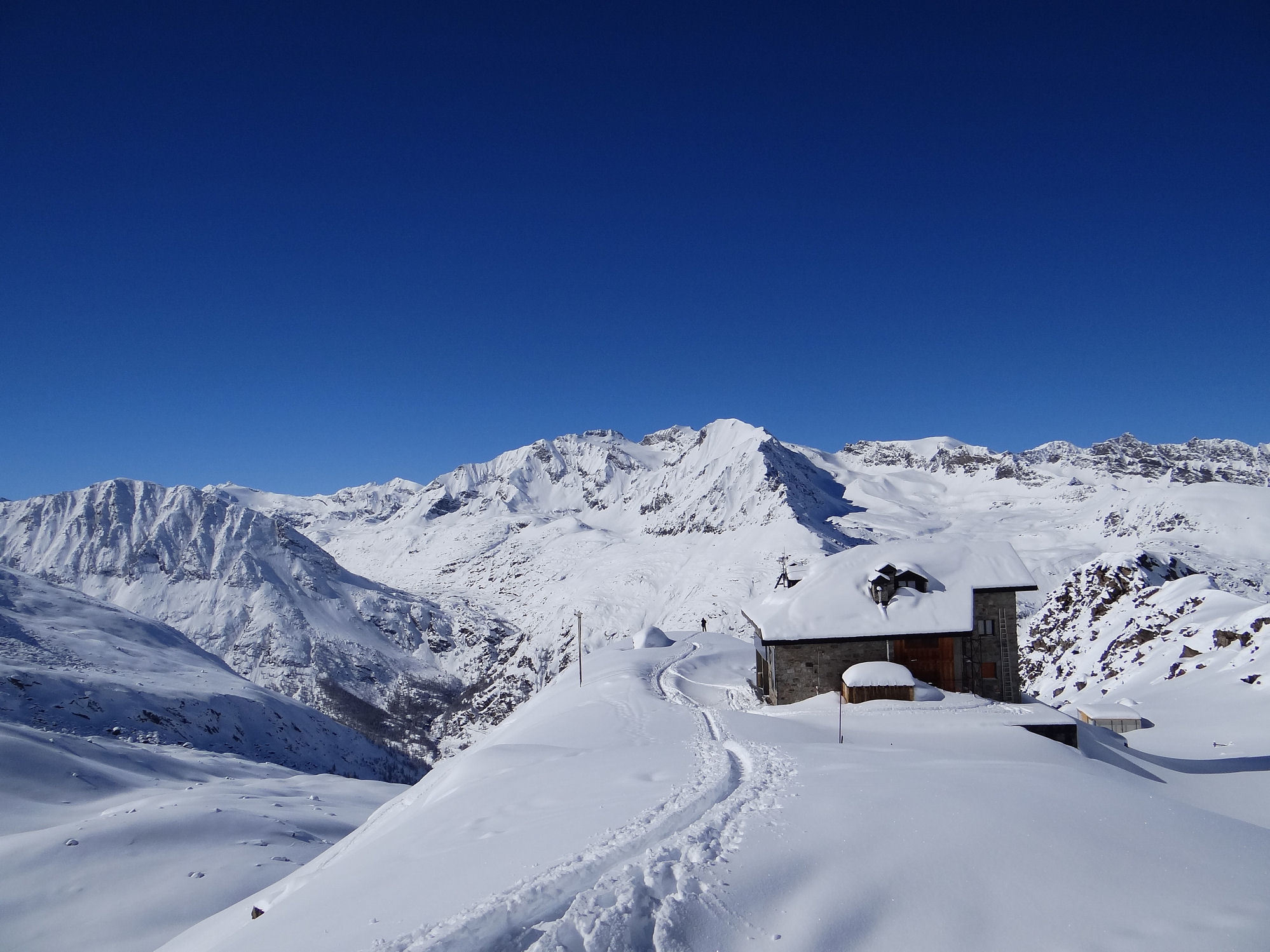
From the parking use the bridge to cross the river Savara and follow the summer path W through the larch forest to the Lavassey alpage 2190m. Go back to the right to follow roughly the zig-zag line of the summer path up the true right side of the Costa Savolera valley. This leads to the Chabod hut 2750m. Follow the moraine above the hut and then go up the Montandayné glacier firstly towards the Col de Bonney and then trend leftwards (NNE) towards the W ridge of the Herbetet. Reach the Col du Grand Neyron and the bivouac hut by a right to left traverse.
Descent
- By the same route
- From the Montandayné glacier instead of going back down to the Chabod hut, stay on the right going down to the Montandayné alpage 2460m and rejoining the ascent path at the Lavassey alpage 2190m.
- Descent by the Levionnaz Valley: From the col, follow the ridge, (exposed depending on snow conditions) to the W until you find steep E facing slope leading down to the Grand Neyron glacier. Descend the valley on its true left bank until Levionnaz. Be wary of the slopes above which face E and are liable to avalanche. From Levionnaz, follow the summer route (No. 2) to reach Eaux-Rousses. If Chaud river is snowed over and the avalanche risk is low then it is possible to descend this valley directly to the road. (see also: http://www.camptocamp.org/routes/221150/fr/col-du-grand-neyron-traversee-s-n)
The last slopes up to the col are steep and can be tricky in hard (icy) snow. It is possible to stay the night in the winter room at the Chabod hut and so break the tour into two days.

The text and images in this page are available
under a Creative Commons CC-by-sa licence.

Download the Whympr App to view this route in 3D.
- Route search (100 000)
- Community returns
- Weather forecast
- Avalanche bulletin
- Race book
- Creation of tracks
- Topographic map (including IGN)