

Open this route in the app to prepare your next outing.

Details
Approach
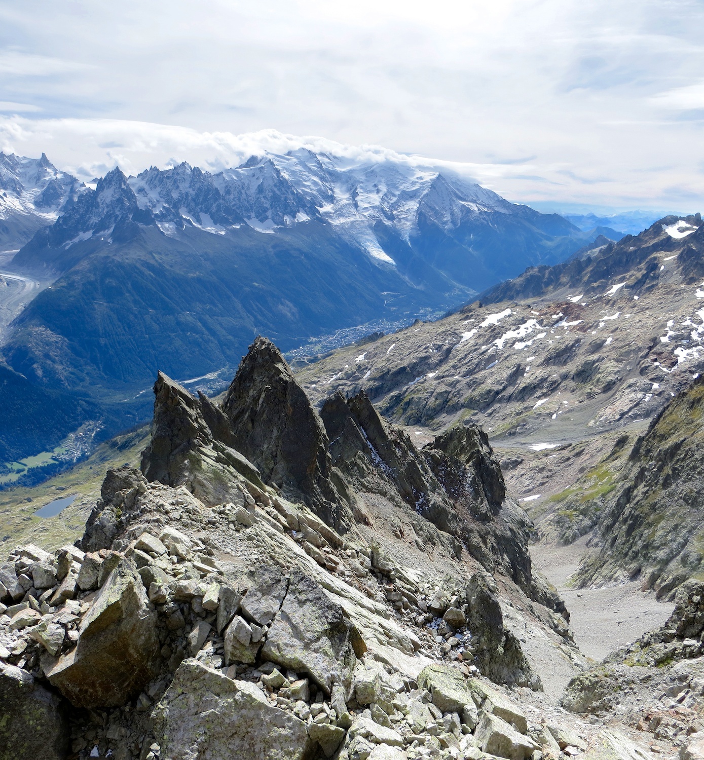
From the Lac Blanc hut: go up towards the Aig. de la Persévérance, easilty recognisable. Go up the large gully between the Persévérance and the Aig. des Chamois. After about 200m, cross a gully on the left and up to a “Z” shaped ledge. 1h from the hut. From the Col des Montets : Follow the path towards Lac Blanc. At 2060m, (at the point where the path starts to descend slightly,) take a faint path leading into a cwm beneath the Aig. de la Remuaz. After an exposed traverse, go downwards in order cross this cwm of large boulders, then climb up the other side of the cwm to reach Point 2317m. Follow a very faint path along a crest until the foot of the Persévérance gully. 3h from the col.
Route # 4 to 6h
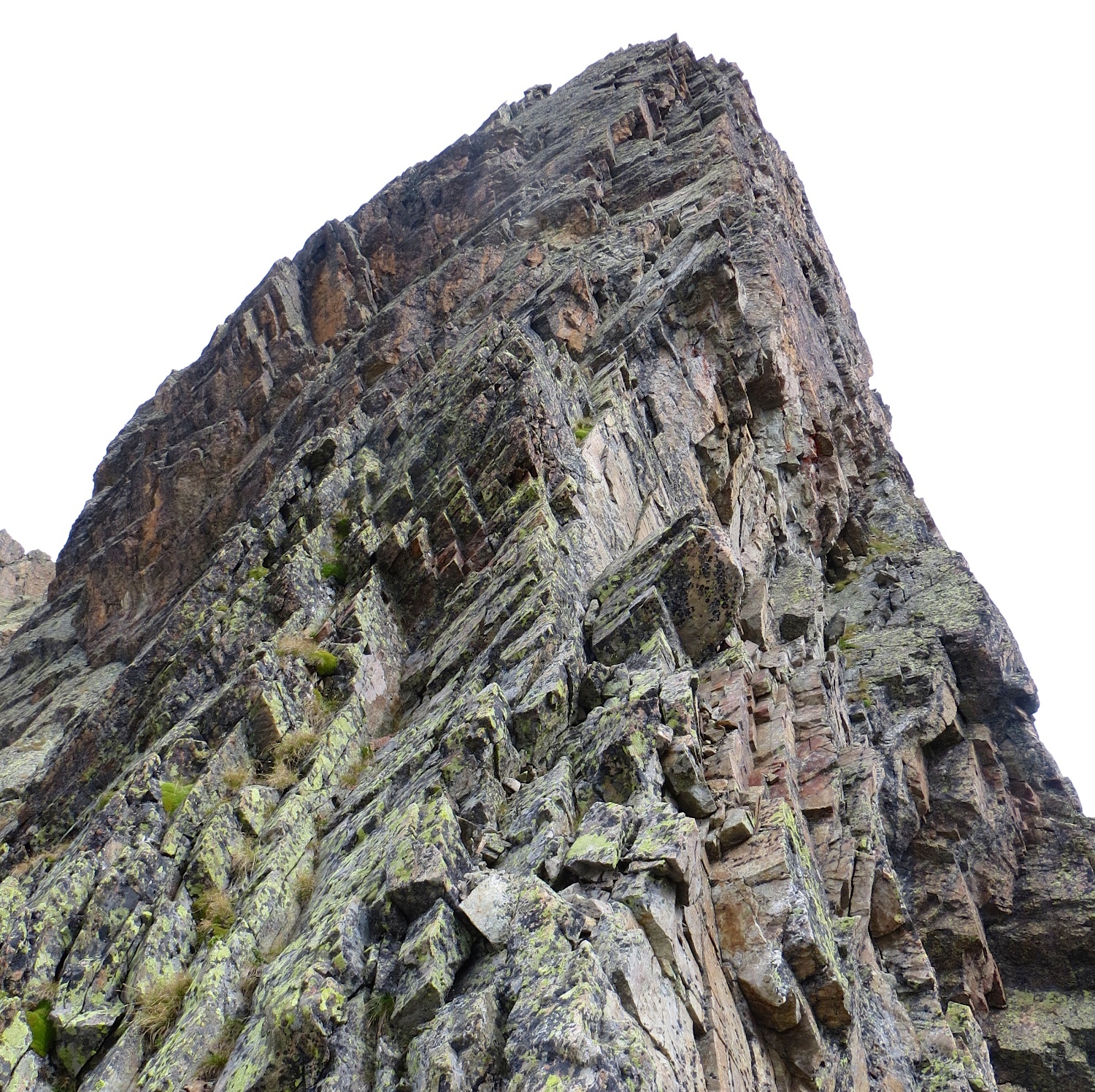
Go up the slopes of the “Z” shaped ledge : firstly to the left, to reach some beautiful, easy slabs. You can bypass these by a detour to the right. On coming back to the left get to the foot of a chimney, (metal ring, Belay 4 of the S Ridge “modern”.) P1 : 3c Climb the slab to the right of the chimney. Belay with nuts under an enormous boulder. Walk (faint track) to the right to the foot of a large wall with 3 cracks. P2 : 4b Either climb the middle crack (1 peg high up), or the left crack, (no in-situ gear.) Belay on the ridge to the right of the 3rd tower.
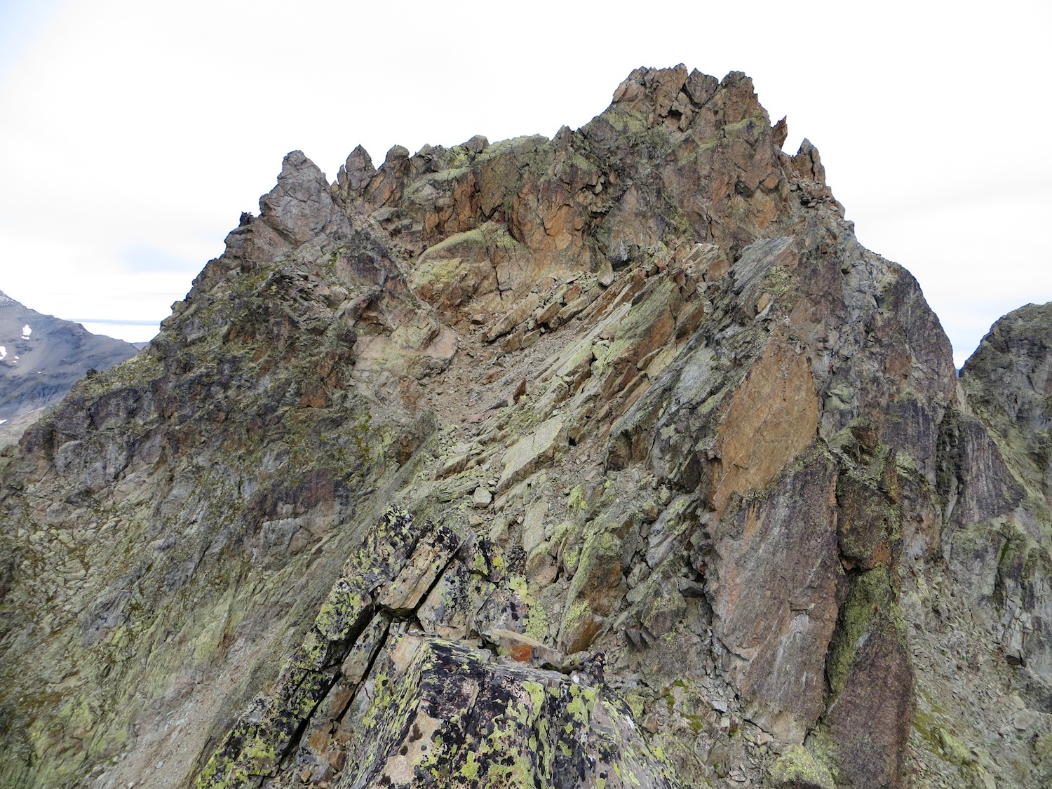
Follow easily the ridge for about 250m, (P8 of the S ridge “modern”.) It is possible to avoid the abseil at the end of the ridge by an easy traverse to the left. Climb up to the gap at the foot of the SW ridge of the 5th tower, (red pinnacle,) by going up leftwards over broken, easy rocks. P3 and 4 : 4c, 4b Climb the red pinnacle (5th tower) in two pitches to the left of the crest of the ridge. (No in-situ gear, protect with friends and nuts.) Newish bolt belay on the summit. The route now joins the last for pitches of the S ridge “modern”. P5 : 3 To the left of the crest of the ridge for about 15m to a gap, then climb down to the right (E face) to another gap. Pass to the left, (W face) to bypass the 6th tower, (large flake.) You can chose to climb the 7th tower or avoid it, again to the W. A few small pinnacles lead to the foot of the final buttress, which is climbed in two pitches by a ramp slanting to the right. There is a thread hole at the start of the ramp. P6 : 5a Delicate rock, belay on a bolt (+ 1 friend.) P7 : 5b Rock slightly better, 2 pegs (one for the foot?, but OK without.) At the level of a steep step there is a bolt 1m above the 2nd peg. Exit to a little gap about 20m below the summit, which is on the right. P8 : 4c Several metres of climbing to reach the top.
Descent
By the crest of the ridge, and ledges on the N side, going to the W. An abseil possible if there is snow, (difficult to find.) Bypass 2 small pinnacles to the N (There is a jammed boulder on the N side between them.) Then climb up to a gap, from where you descend for 20m a loose gully on the S side. This leads to the top of combe de Beugeant (large scree or snow), which you descend (a narrow passage then to the true left side to avoid some rock steps, then as best as possible down the middle.) Climb back up on the left to the crest of a moraine to pass on the left the Beugeant lake, and so to the path leading back to the hut.

The text and images in this page are available
under a Creative Commons CC-by-sa licence.

Download the Whympr App to view this route in 3D.
- Route search (100 000)
- Community returns
- Weather forecast
- Avalanche bulletin
- Race book
- Creation of tracks
- Topographic map (including IGN)