

Open this route in the app to prepare your next outing.
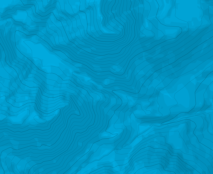
Min / max altitude1410m / 2106m
Route typeLoop
Source
Details
From the Oberst-Klinke-Huette, head down the road (NW) until the first hairpin (around 1410m), then head up along the stream in a N then W direction (a few marks)
There are are few chains where the path goes in the cliffs. Reach the Scheiblegger Hochalm (1600m), and head NE to the summit of Kreuzkogel.
Follow the ridge (some chains and exposed passages here and there) until Riffel.
Go down the normal way (via the Kalblinggatterl)

The text and images in this page are available
under a Creative Commons CC-by-sa licence.
Download the Whympr App to view this route in 3D.
- Route search (100 000)
- Community returns
- Weather forecast
- Avalanche bulletin
- Race book
- Creation of tracks
- Topographic map (including IGN)