

Open this route in the app to prepare your next outing.


Details
Approach
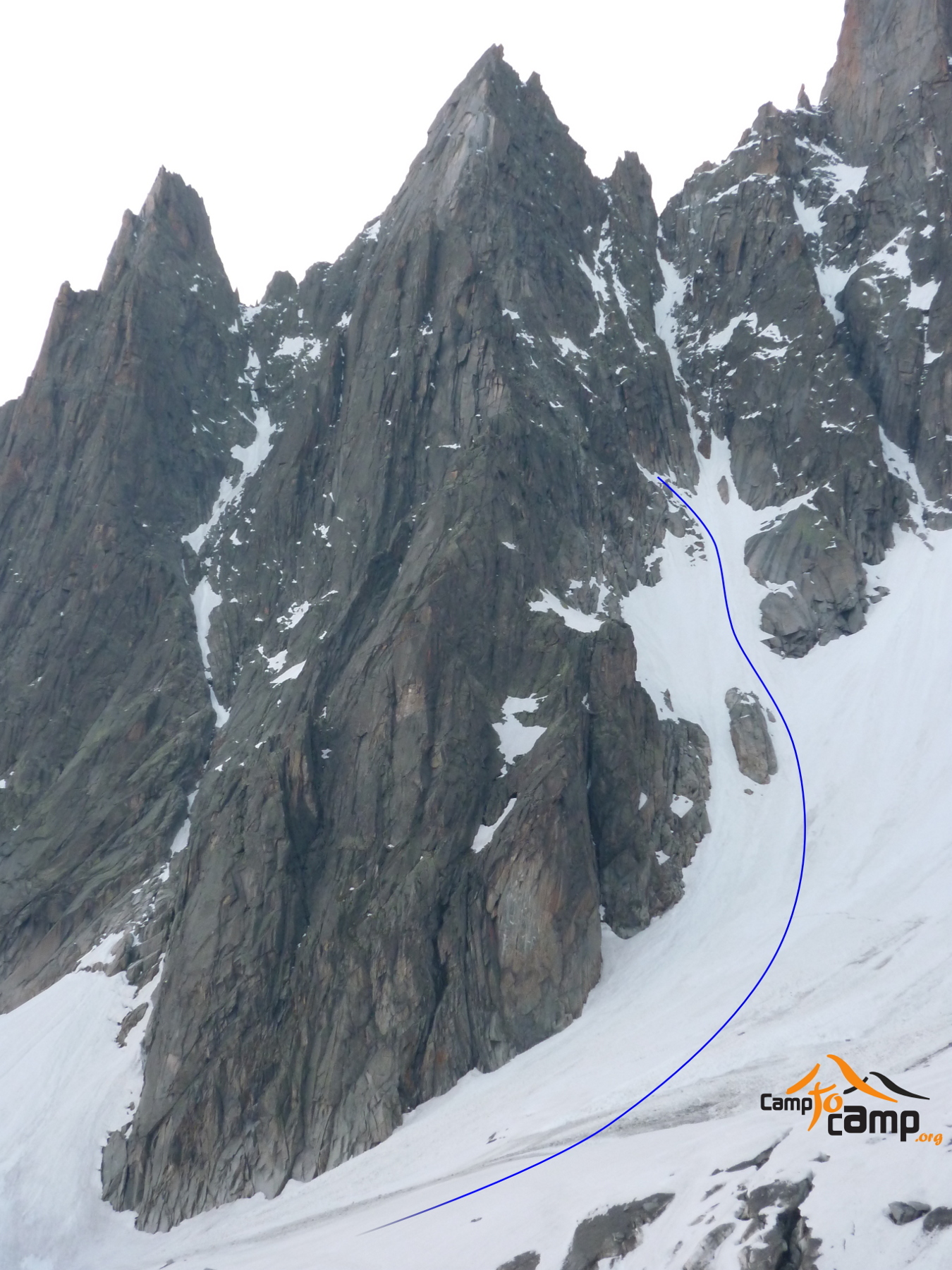
From the Plan de l’Aiguille, take the path to the SE in the direction of the Pélerins glacier. Go up the moraine on the true right bank, go around the SW ridge and climb up to the top of the glacier. Leave the glacier and after several metres of easy climbing gain a schist ledge to the left, that leads to the foot of the fourth step. The start of the ridge is 50m before the gap.
Route
Starts with 100m of chimney cracks, 4b. Then an easier section of 3b leads to two parallel cracks, 20m, 5b. The summit is reached by a pitch of 5a.
Descent
By the normal route on the S face: From the summit follow the ridge ESE towards Pointe Migot turning a 10m pinnacle on the left and when about halfway between the latter and the Col des Pelerins, go down a rocky couloir on the S flank parallel to the main couloir on the left. Reach an area of broken ledges coming down from the fourth and final step of the SW ridge and slant leftwards down these for 100m to the main couloir where it widens. Descend it to the moraine on the true right bank of the Pelerins glacier and follow this down to the Plan d’Aiguille, 2.5 hrs.

The text and images in this page are available
under a Creative Commons CC-by-sa licence.

Download the Whympr App to view this route in 3D.
- Route search (100 000)
- Community returns
- Weather forecast
- Avalanche bulletin
- Race book
- Creation of tracks
- Topographic map (including IGN)