

Open this route in the app to prepare your next outing.

Details
Approach
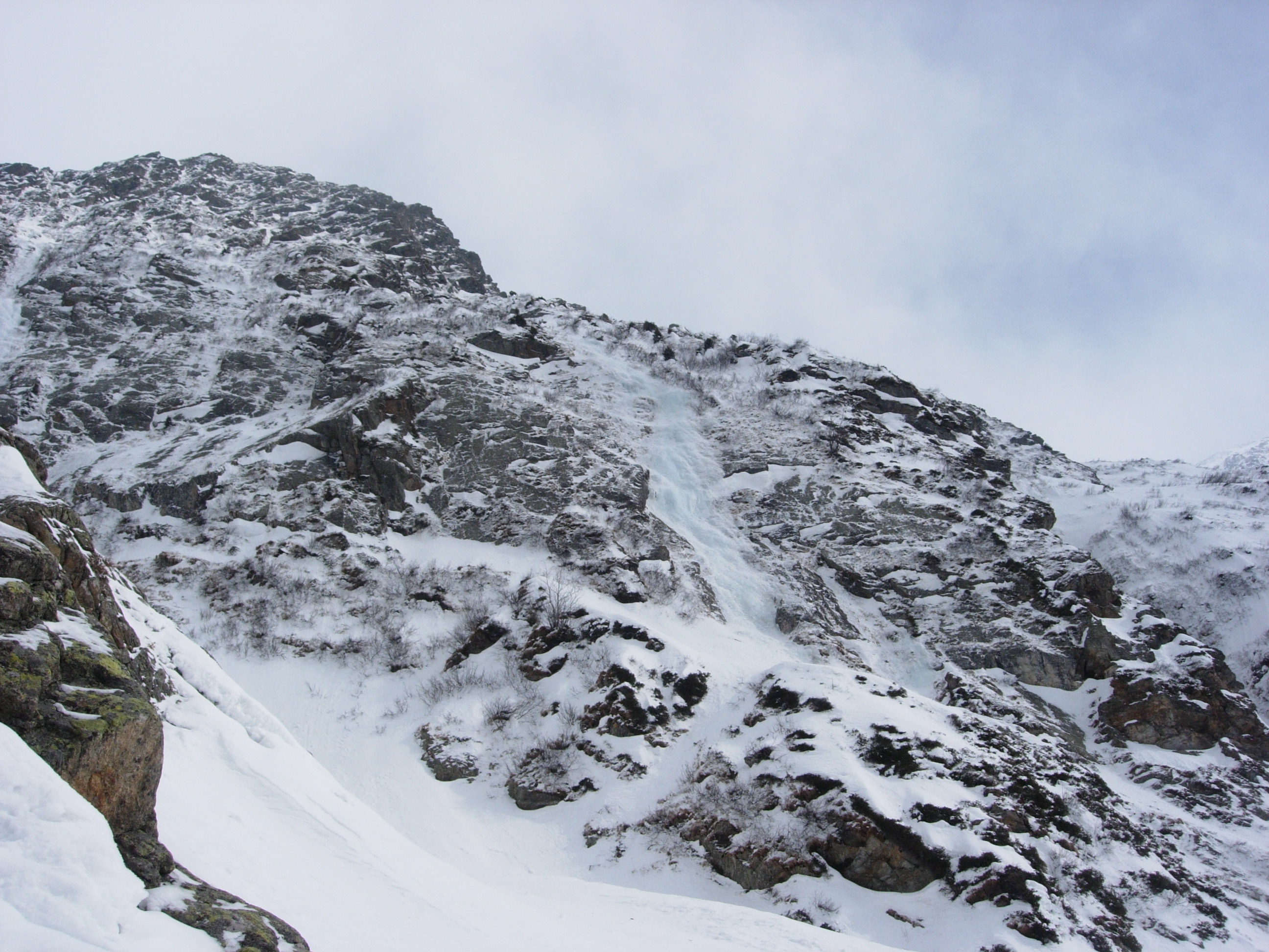
From the parking at La Frasse, take the track towards the Armancette lake, then climb the true right bank of the Armancette cwm. The icefall is the one clearly visible from below and is immediately to the right to the “Ligne principale” which you do not see until the last moment. Just before the foot of the icefall you have to cross a large avalanche chute.
Route
L# | 50m | 3+ with a little vertical wall. Belay at a little tree on the left. L# | 50m | 3 Belay on bushes to the right. With a 60m rope you can reach some rocks on the left, with the possibility to place a peg.
Descent
Abseil if you can get good belays.
Easier and shorter than its neighbour to the left

The text and images in this page are available
under a Creative Commons CC-by-sa licence.

Download the Whympr App to view this route in 3D.
- Route search (100 000)
- Community returns
- Weather forecast
- Avalanche bulletin
- Race book
- Creation of tracks
- Topographic map (including IGN)