

Open this route in the app to prepare your next outing.
Min / max altitude1127m / 1430m
Duration1 day
Main facingN
Route typeReturn the same way
Source
Details
Approach # 45mins
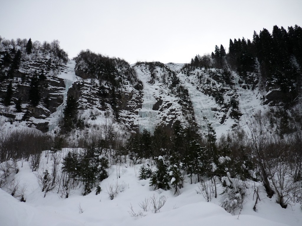
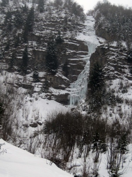
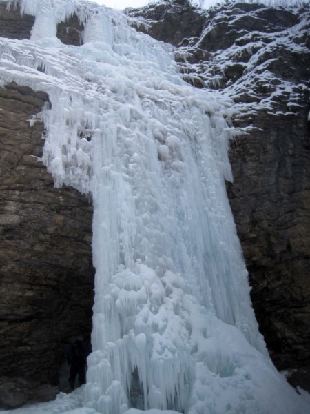
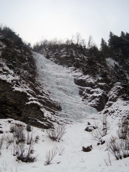
Follow the road from Le Reposoir towards the Col de la Colombière, At the third hairpin take a little road which passes by the La Côte David to end at a bridge crossing the Foron river. From the parking, cross the bridge and head southwards. You go through a forest to reach a meadow from where you can clearly see the icefalls. There are three main lines, this route takes the right hand one.
Route
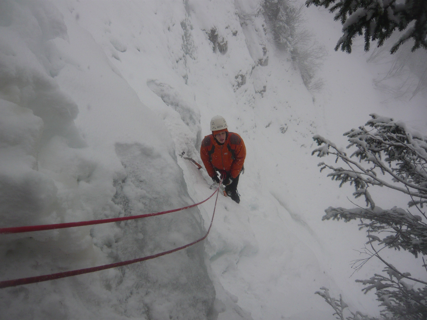
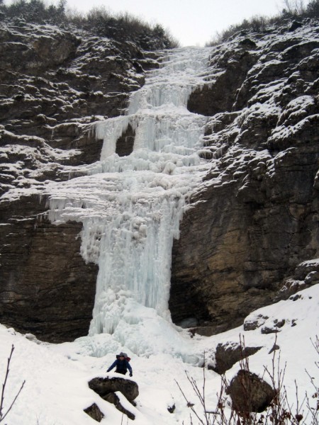
L# | : 75° with several vertical steps on the left. Bolt belay on the left (30m) or on the right (40m). v L# | Snow and some ice bulges. Tree belay
Descent
Abseil back down the route.

The text and images in this page are available
under a Creative Commons CC-by-sa licence.

Download the Whympr App to view this route in 3D.
- Route search (100 000)
- Community returns
- Weather forecast
- Avalanche bulletin
- Race book
- Creation of tracks
- Topographic map (including IGN)