

Open this route in the app to prepare your next outing.
Min / max altitude1150m
Duration1 day
Main facingNE
Route typeReturn the same way
Source
Details
Approche
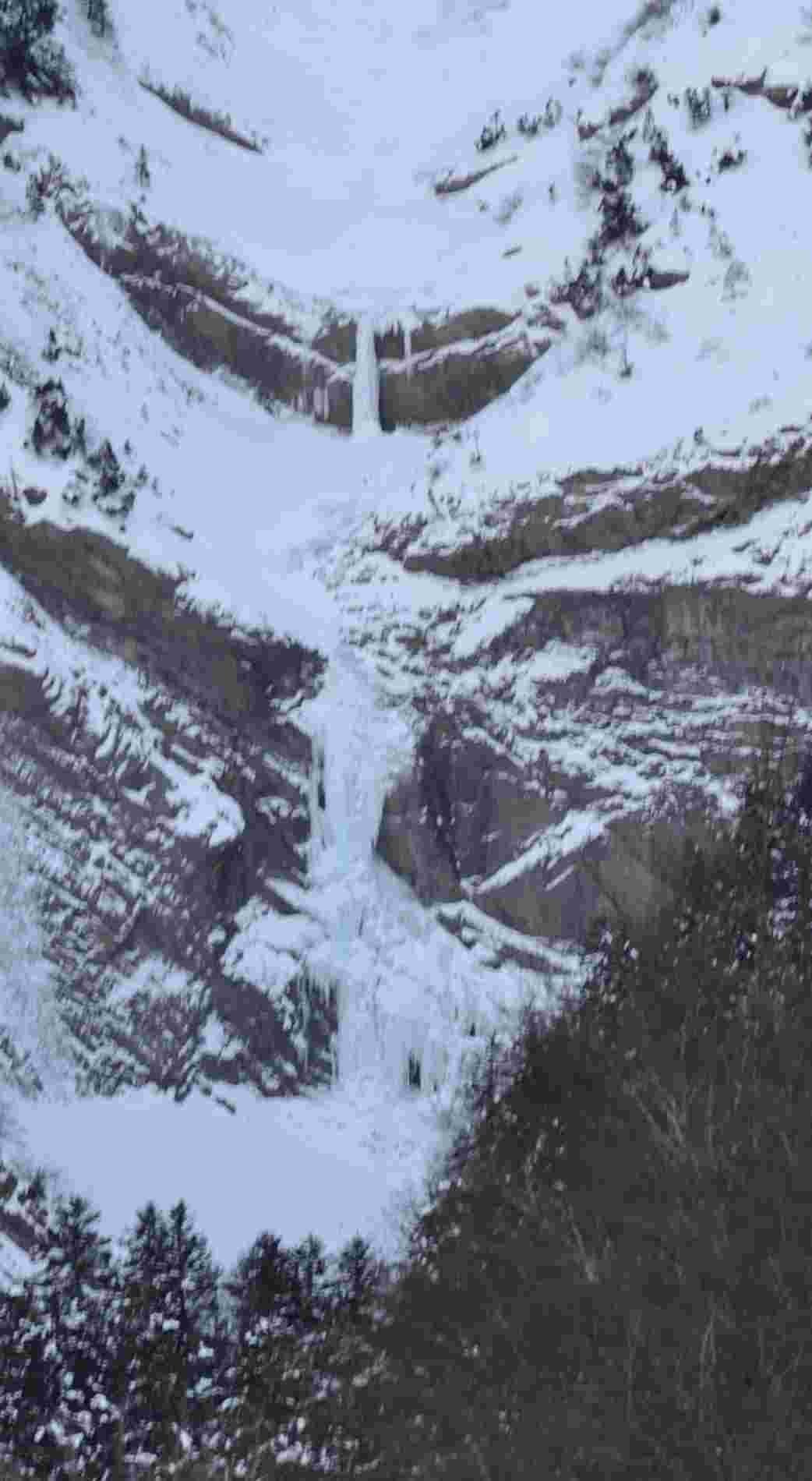
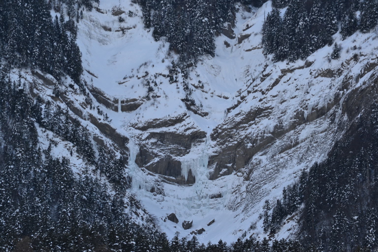
La Fare en Champsaur - direction Col du Noyer - dépasser la chapelle St Etienne - piste à gauche que l’on suit le plus possible, puis le GR 93 jusqu’au pied de la cascade (torrent de Chétive). Note : également accessible en montant depuis la Chapelle “St Etienne” et en passant près de la cabane “des Pierre”.
Itinéraire
Cathy à gauche - St Catherine à droite
Descente
En rappel
A ne pratiquer qu’en conditions stables. Tout le haut du parcours est sujet aux formations et départs de plaques.

The text and images in this page are available
under a Creative Commons CC-by-sa licence.

Download the Whympr App to view this route in 3D.
- Route search (100 000)
- Community returns
- Weather forecast
- Avalanche bulletin
- Race book
- Creation of tracks
- Topographic map (including IGN)