

Open this route in the app to prepare your next outing.
Min / max altitude1210m / 1423m
Duration1 day
Main facingNW
Route typeLoop
Gear4 ou 5 ice screws
2 large slings
Source
Details
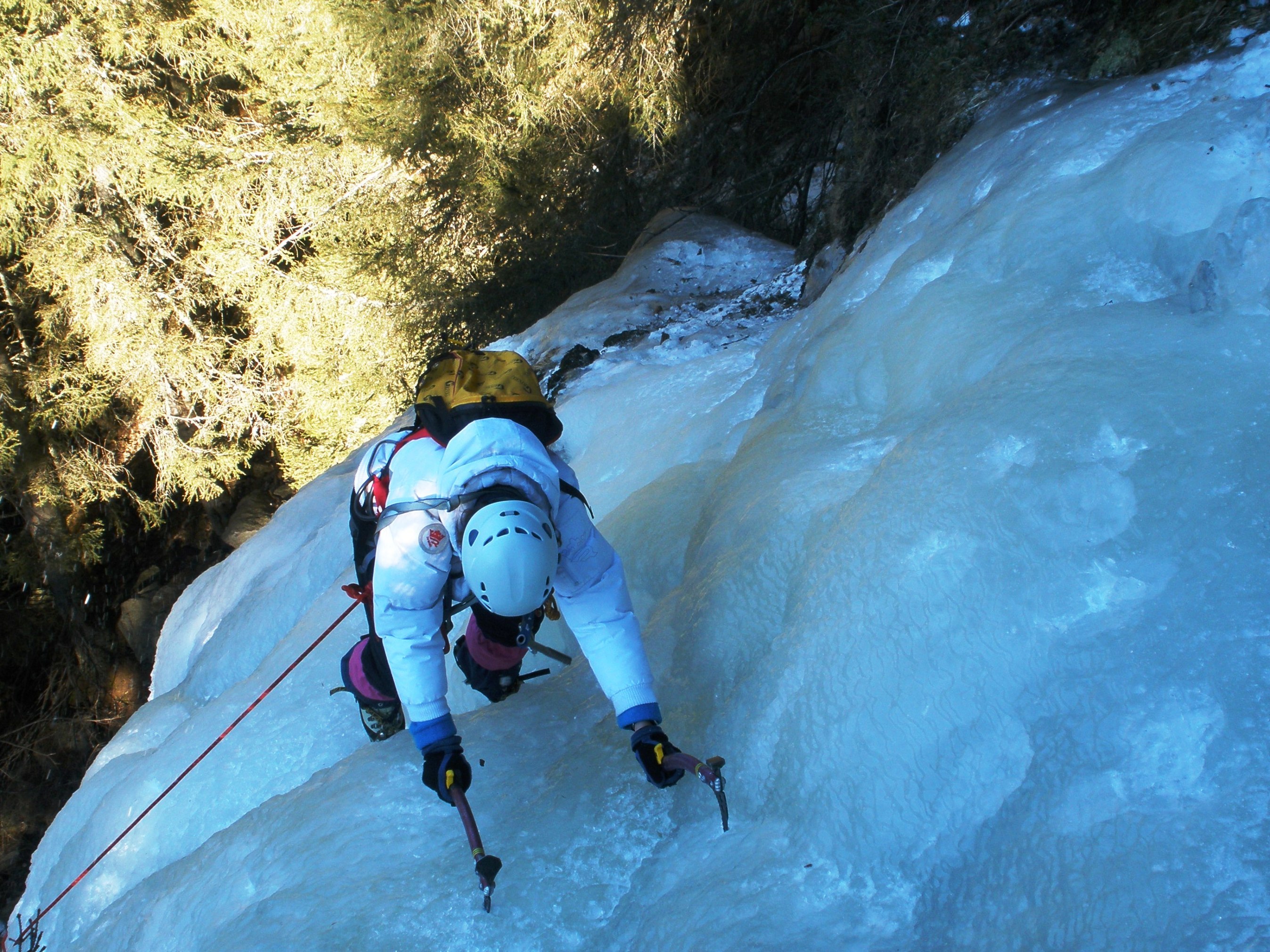
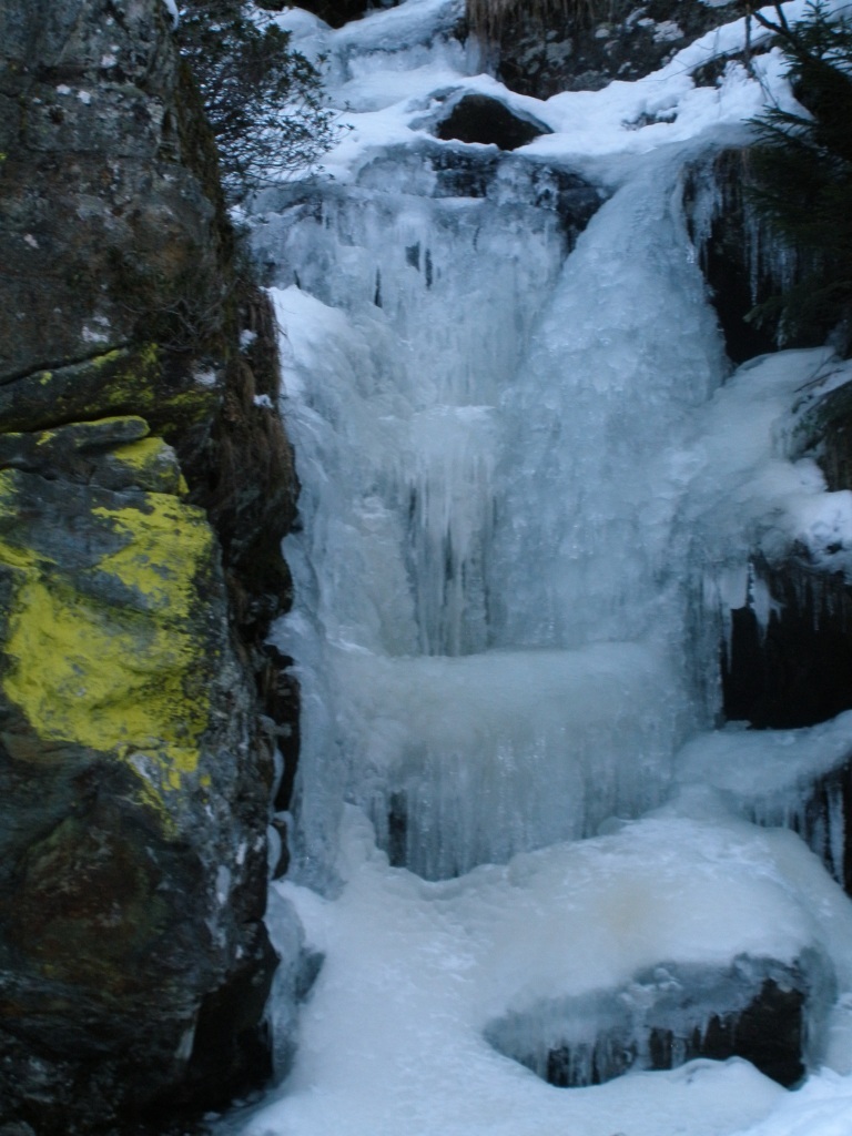
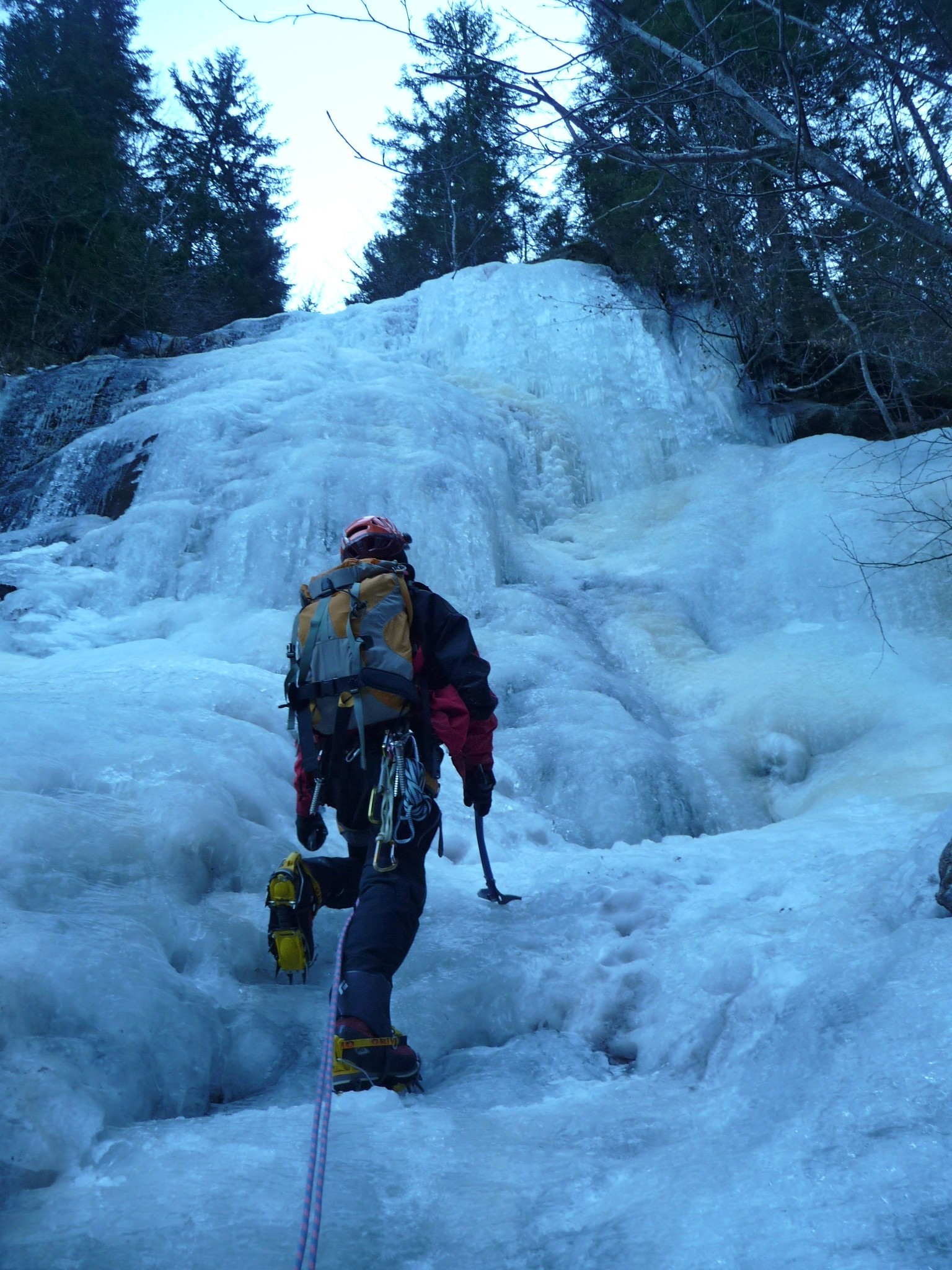
Pleasant frozen stream bed with four steep sections, linked by easier ground.
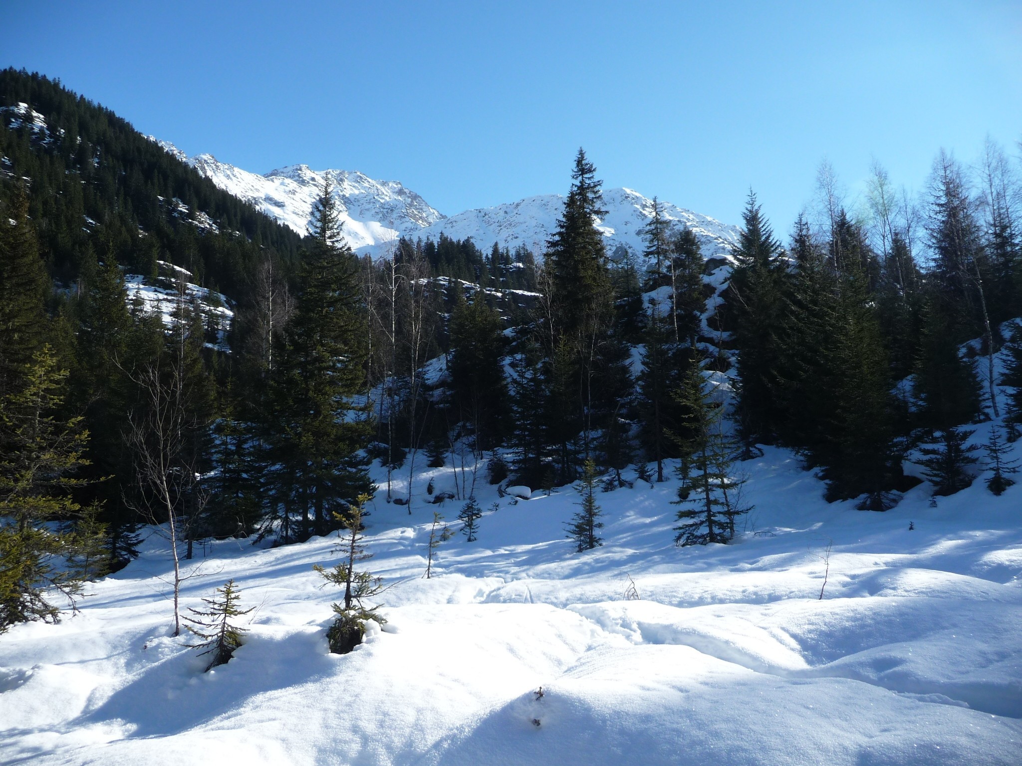
Approach # 5 minutes!
Park the car 200m before the roundabout next to the Notre-Dame de la Gorge and a restaurant. From the roundabout, cross the bridge giving access to the roman road. The start is just behind a large boulder with tourist information.
Route
The stream descends the rock outcrop “Les Rochassets” Climb it (4 main steps) until an exit, (left) onto the Rosière plateau.
Descent
Traverse the Rosière plateau to the SSE, (quite a long way) to reach the roman road, and descend this to the parking.

The text and images in this page are available
under a Creative Commons CC-by-sa licence.

Download the Whympr App to view this route in 3D.
- Route search (100 000)
- Community returns
- Weather forecast
- Avalanche bulletin
- Race book
- Creation of tracks
- Topographic map (including IGN)