

Open this route in the app to prepare your next outing.
Min / max altitude680m / 1739m
Duration1 day
Main facingN
Route typeReturn the same way
Source
Details
Montée
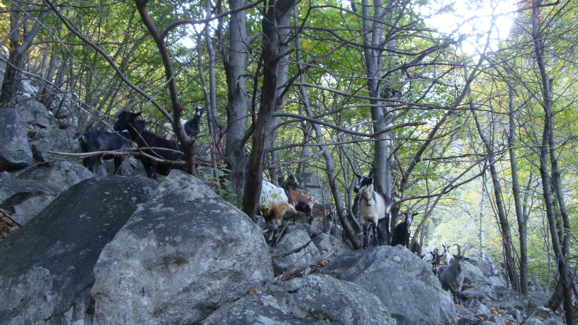
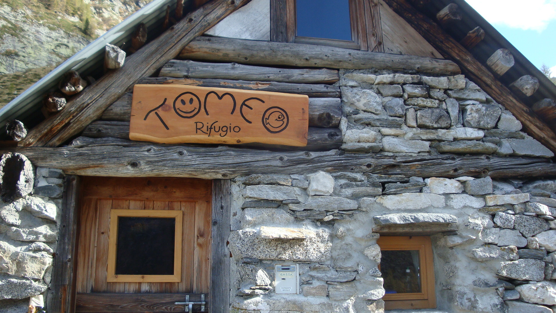
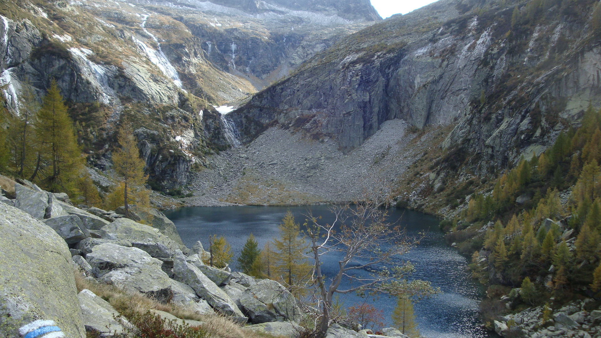
De Broglio 703 m, descendre chercher le sentier, en traversant le pont, à droite bizarrement..mais il tourne vite à gauche. Après avoir rejoint par une traversée la rivière, le sentier s’élève très raide dans de belles forêts de châtaigniers. Il traverse successivement plusieurs pierriers. Arriver tout d’abord au refuge (bien rénové) puis 5min après, au lac enchâssé dans la montagne. Compter 3h.
Descente
Par le même parcours.
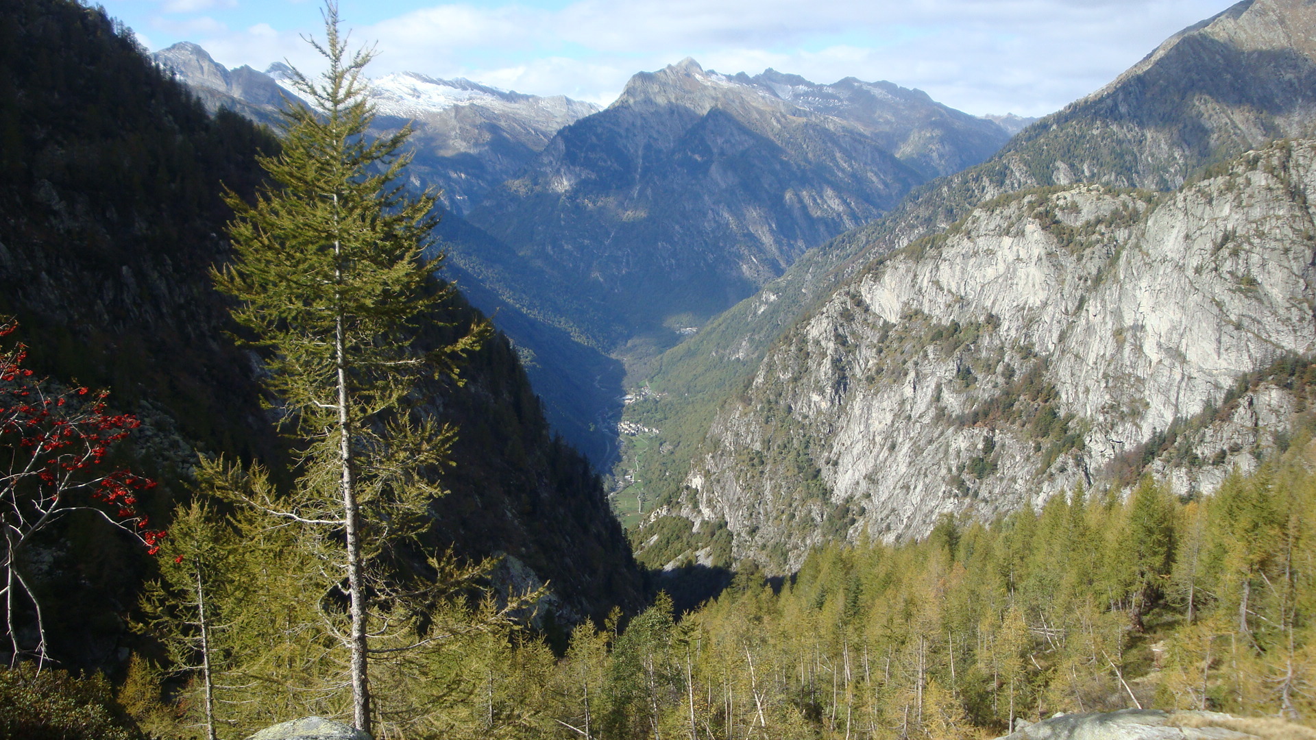
- Le décor est beau mais à l’ombre! (En automne)

The text and images in this page are available
under a Creative Commons CC-by-sa licence.

Download the Whympr App to view this route in 3D.
- Route search (100 000)
- Community returns
- Weather forecast
- Avalanche bulletin
- Race book
- Creation of tracks
- Topographic map (including IGN)