

Open this route in the app to prepare your next outing.
Length10016m
Min / max altitude1461m / 2352m
Duration1 day
Main facingE
Route typeLoop
Source
Details
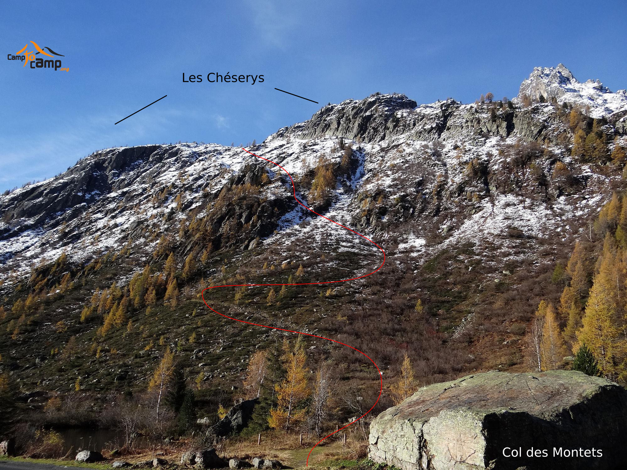
A really nice hike that takes 6 hours from the bottom of the valley to the wonderful Lac Blanc.
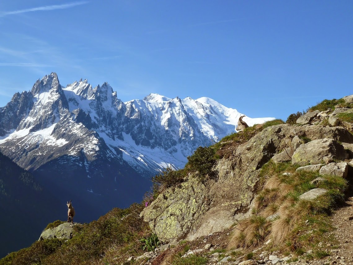
The ascend at the beginning is quite steep but once it is completed the views are breathtaking!

The text and images in this page are available
under a Creative Commons CC-by-sa licence.

Download the Whympr App to view this route in 3D.
- Route search (100 000)
- Community returns
- Weather forecast
- Avalanche bulletin
- Race book
- Creation of tracks
- Topographic map (including IGN)