

Open this route in the app to prepare your next outing.
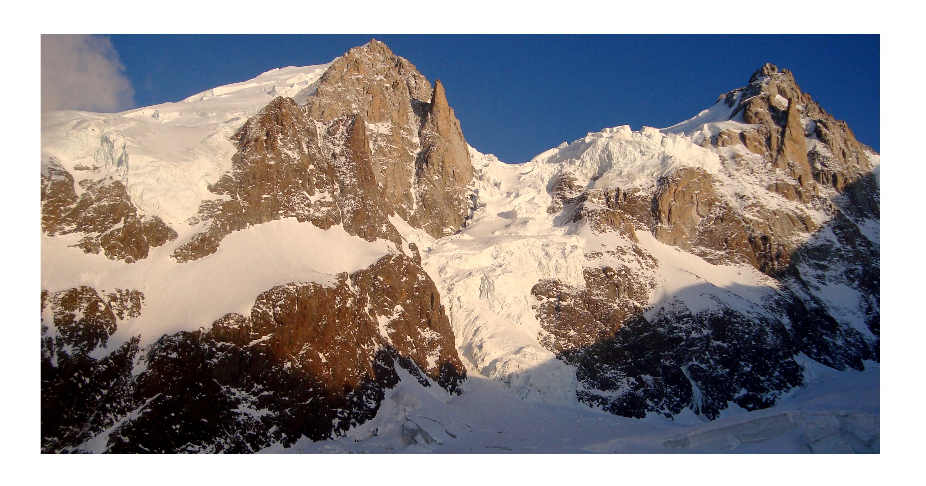

Details
Approach
2h to 2h30 from the Aiguille du Midi
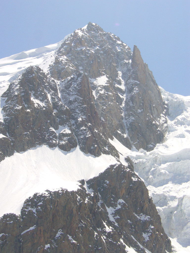
Go up the normal route (N face) of the Mont Blanc du Tacul to around 3800 m (+/- 100m depending on the seracs.) Make a long contouring traverse to the W then descend finding the best and least steep line to a little col at 3580m. (Make sure your altimetre is properly regulated!) Beware, menacing seracs. The col is identified by a little cairn. From the col descend the obvious couloir at 40º, (easy if there is snow,) until the bottom, about 120m.
Route
4 to 6h from the bergschrund.
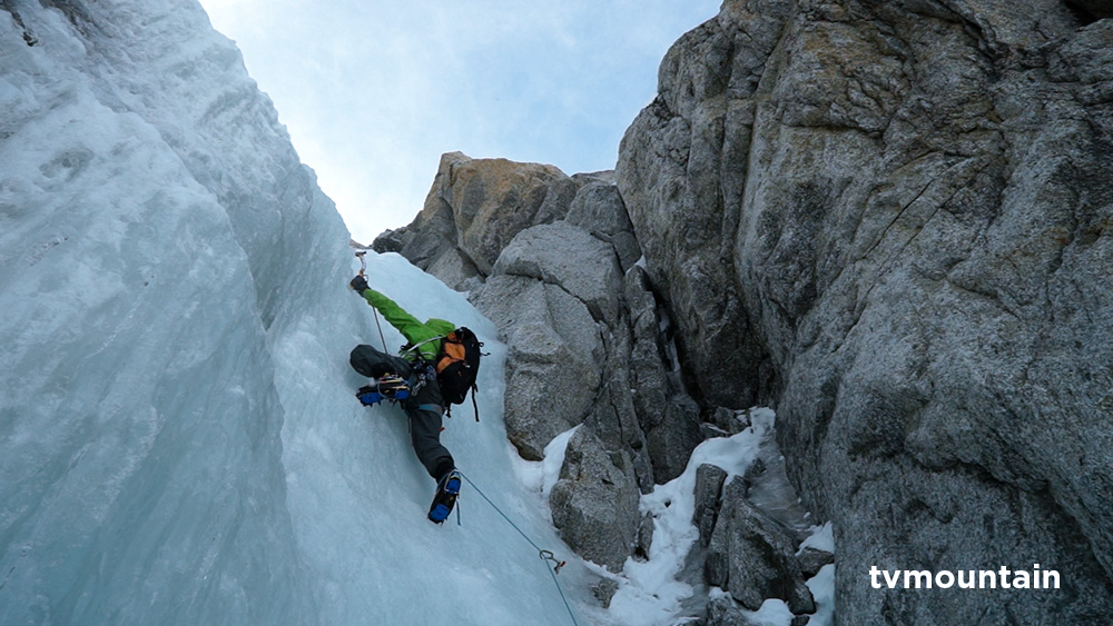
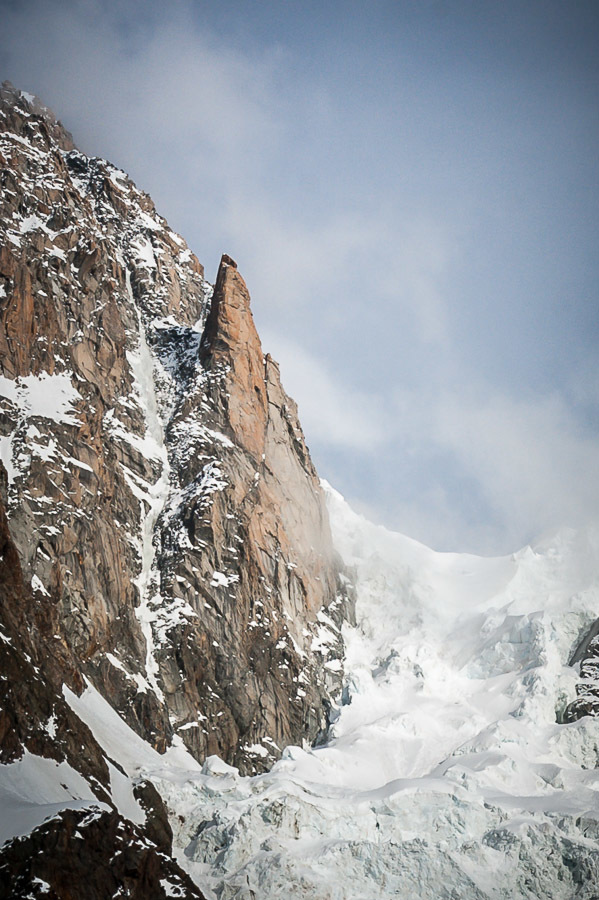
Traverse to the left for several dozen metres to spot a 20m ramp ascending to the right (3c ou M3+) which gives access to the gully. Climb the long gully for 500m. Three short steps: grade 4 ice and 50/55° on snow.
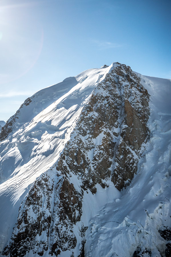
At the top you reach the ridge on the left which is followed to the shoulder of the Tacul.
Descent
Join the normal route for the Tacul.

The text and images in this page are available
under a Creative Commons CC-by-sa licence.

Download the Whympr App to view this route in 3D.
- Route search (100 000)
- Community returns
- Weather forecast
- Avalanche bulletin
- Race book
- Creation of tracks
- Topographic map (including IGN)