

Open this route in the app to prepare your next outing.

Details
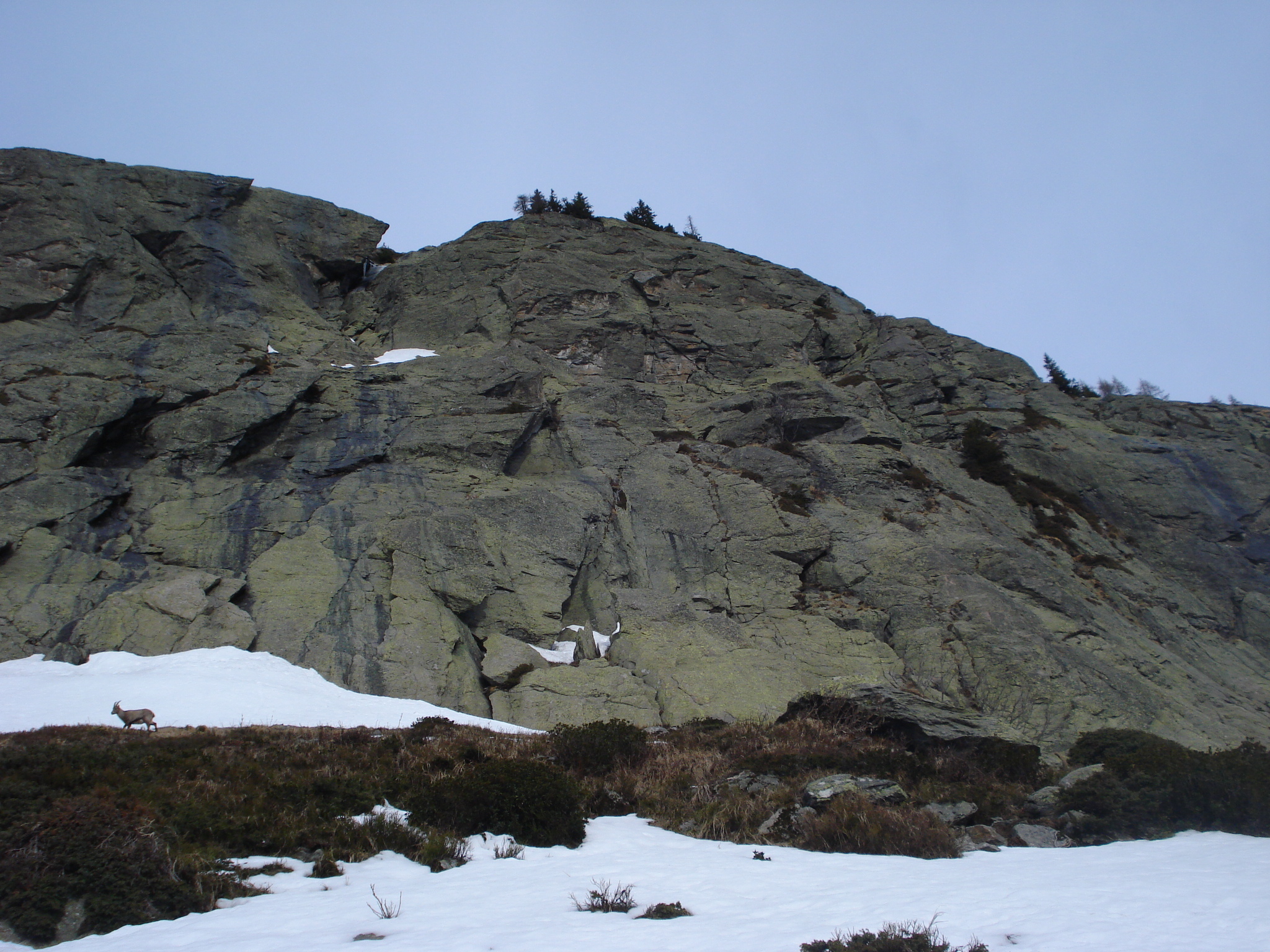
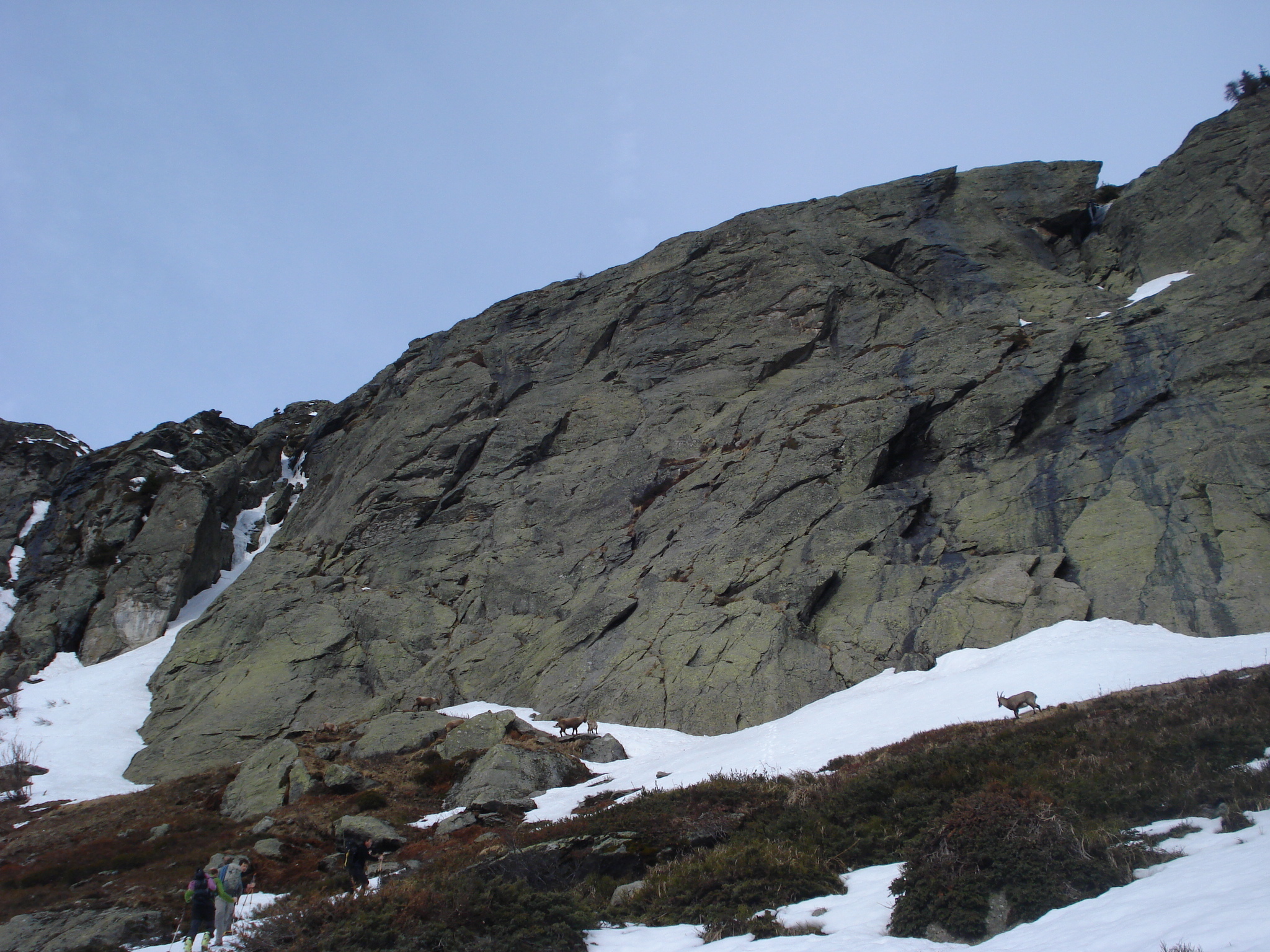
A fantastic route for the grade. Ibex can often be seen on the rocks below the cliff.
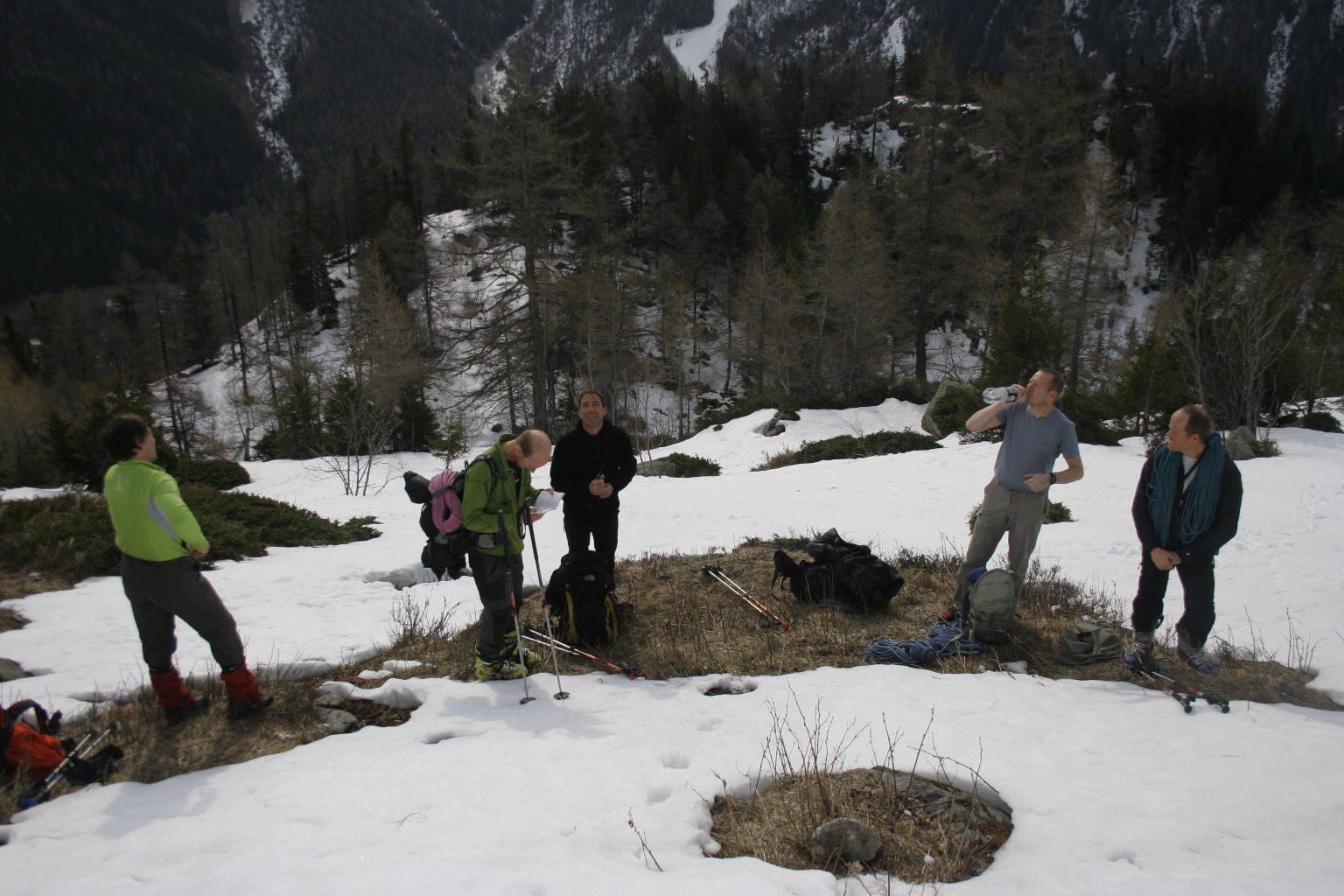
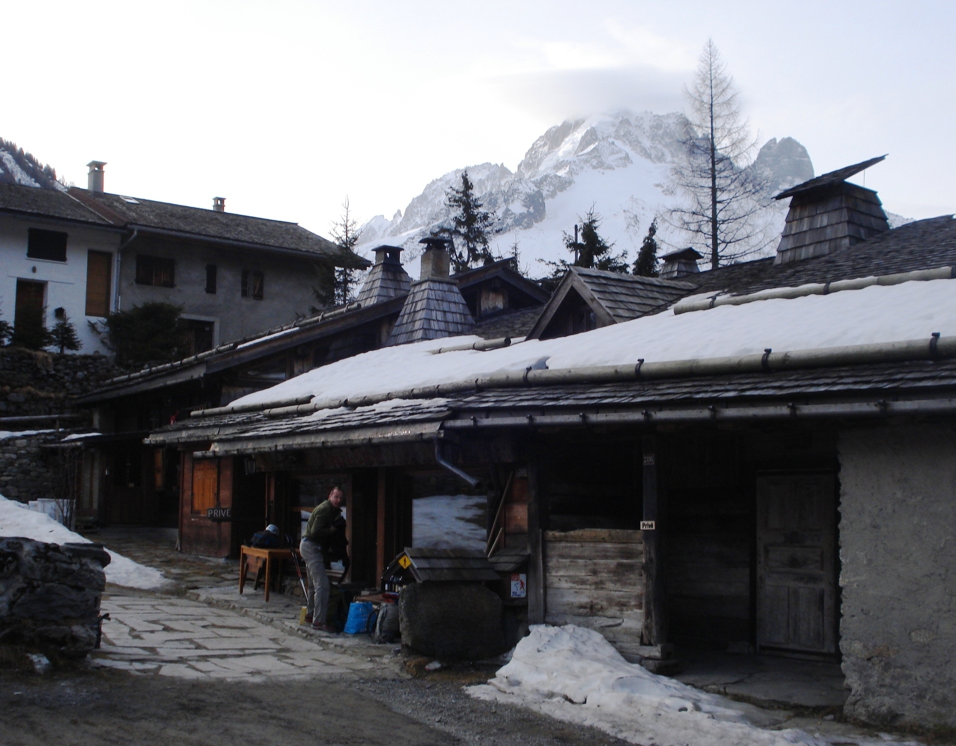
Approach # 45 mins
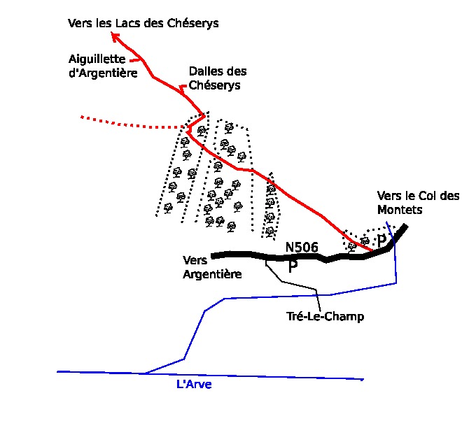
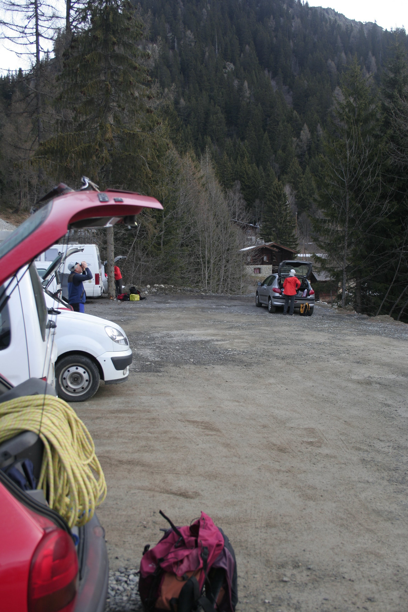
Park on the left 500m before the Col des Montets, (Trelechamp). Take the footpath, at the Chamonix end of the parking forthe Chéserys . Follow the footpath almost to the slabs and then take a small track on the right to the foot of the rocks. The route is in the central section, to the right of the depression/gully at the top of the crag and starts up a detatched slab with two bolted lines. (UTM 32 T 0338317, 5094538)
Route
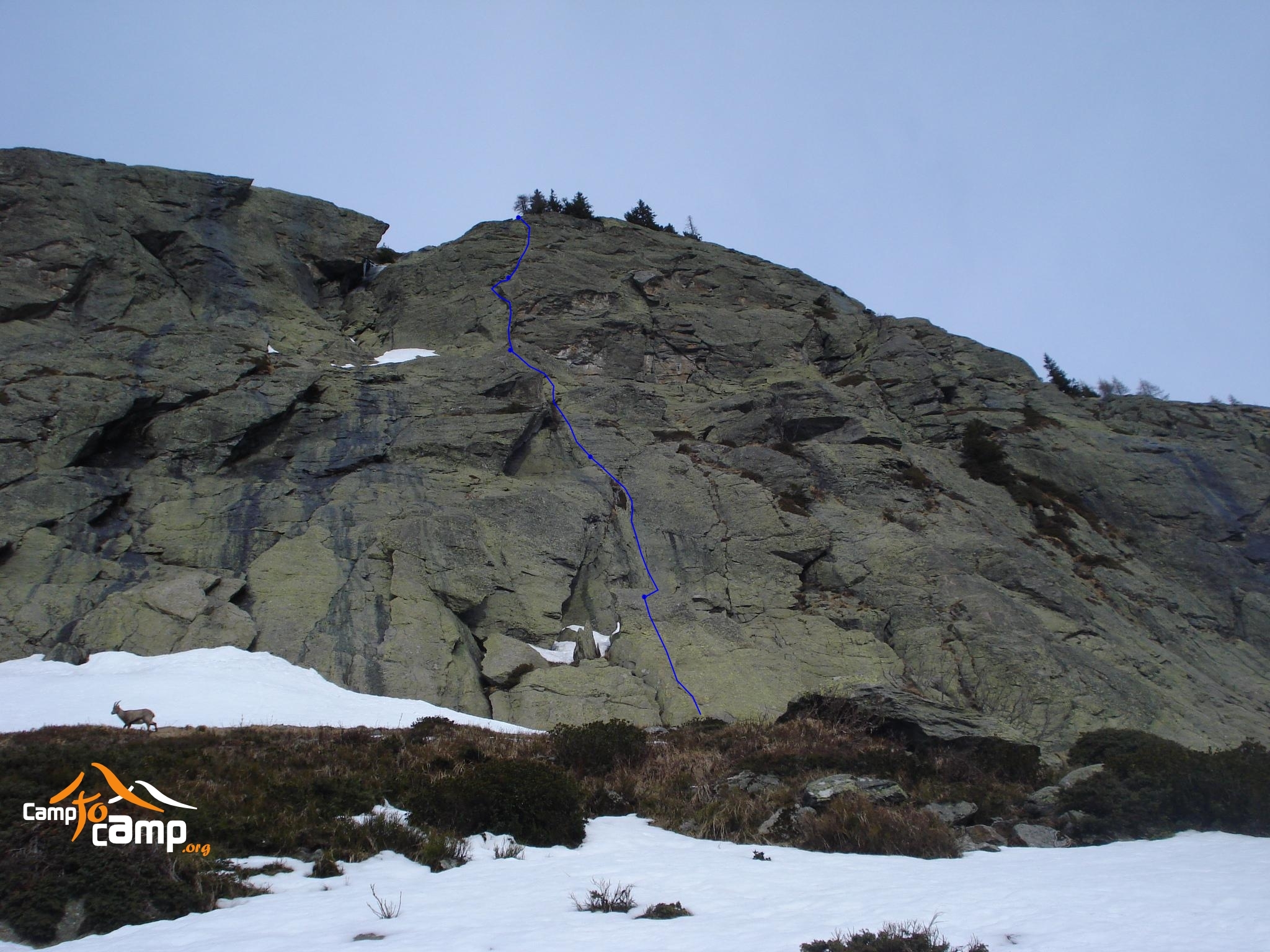
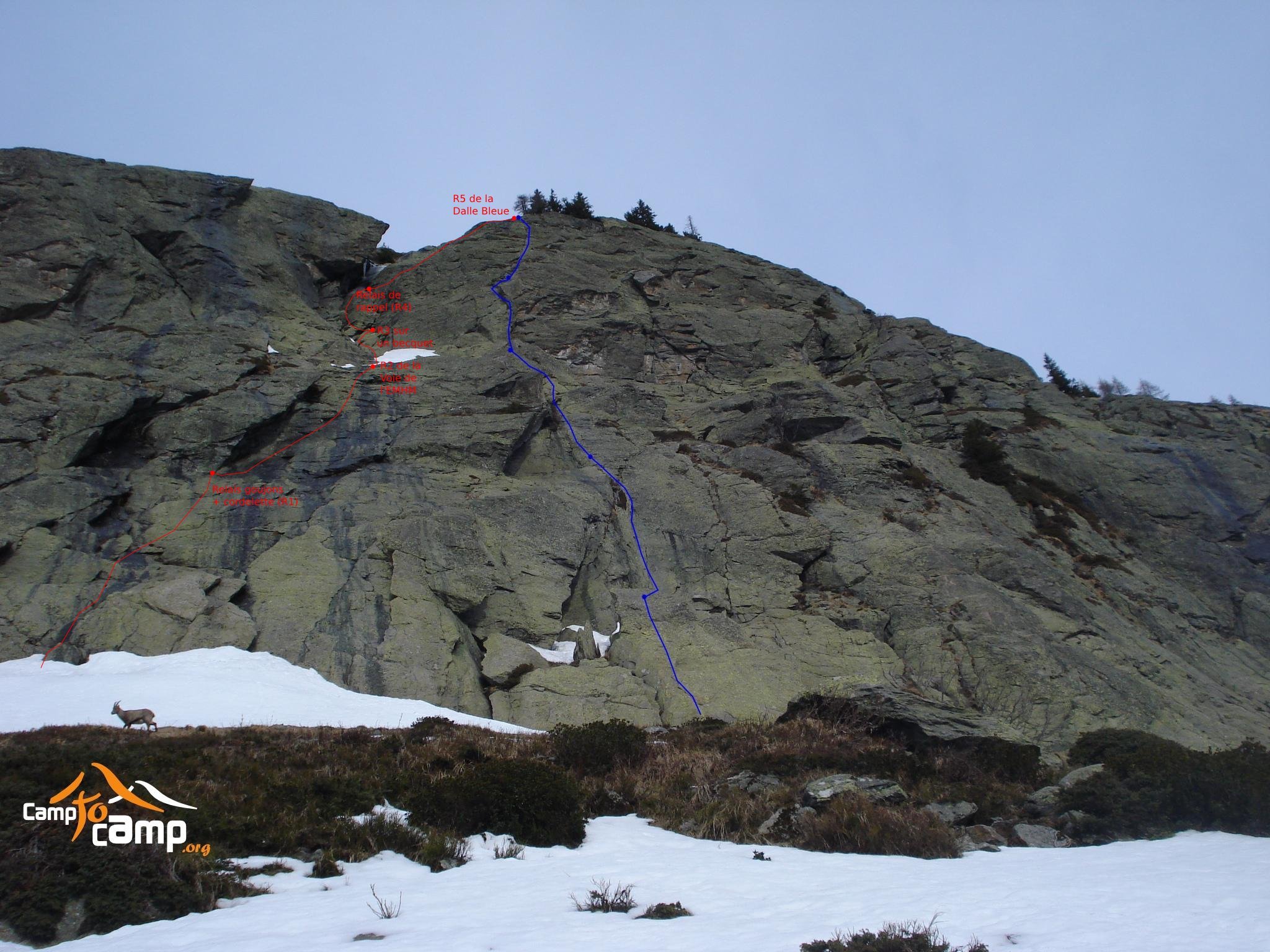
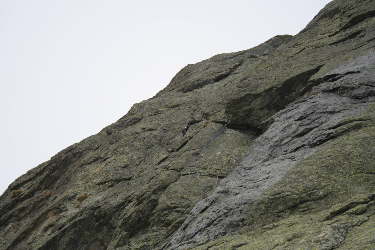
L#1 | 5b | 20m | Slab L#1’ | 5c | 20m | Variant : Up the slab, to the right of the classic start L#2 | 5c | 30m | Crack-corner, strenuous and sustained. L#3 | 5a | 45m | Enjoyable pitch. At half way, the original line took the easy ground to the left L#4 | 5c | 20m | Short but impressive, up the wall and the crack. L#5 | 4b | 35m | Bolts quite far apart but easy climbing.
Descent
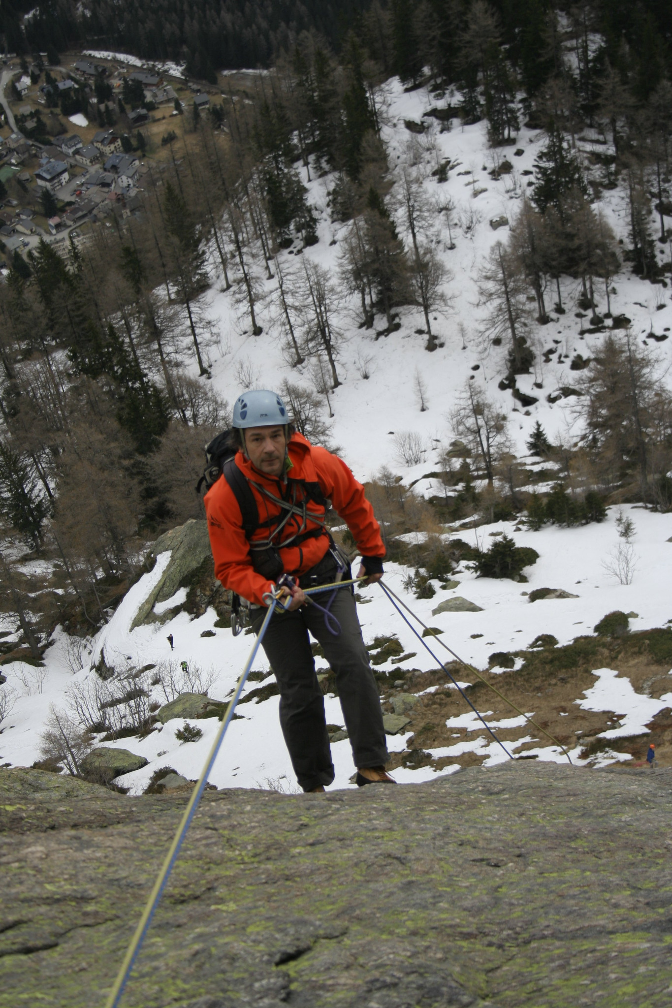
Abseil back down the route, (the top two and bottom two pitches can both be done in one with 2×50 m ropes)
Or: Slightly to the left (looking up), in 3 abseils of 50+, 50+ and 25 metres (Attention; knot the ropes, better with 2×60 m ropes).
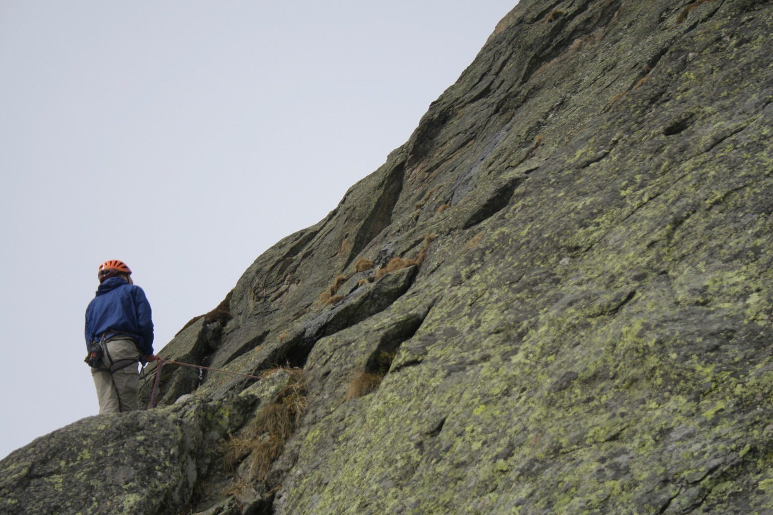
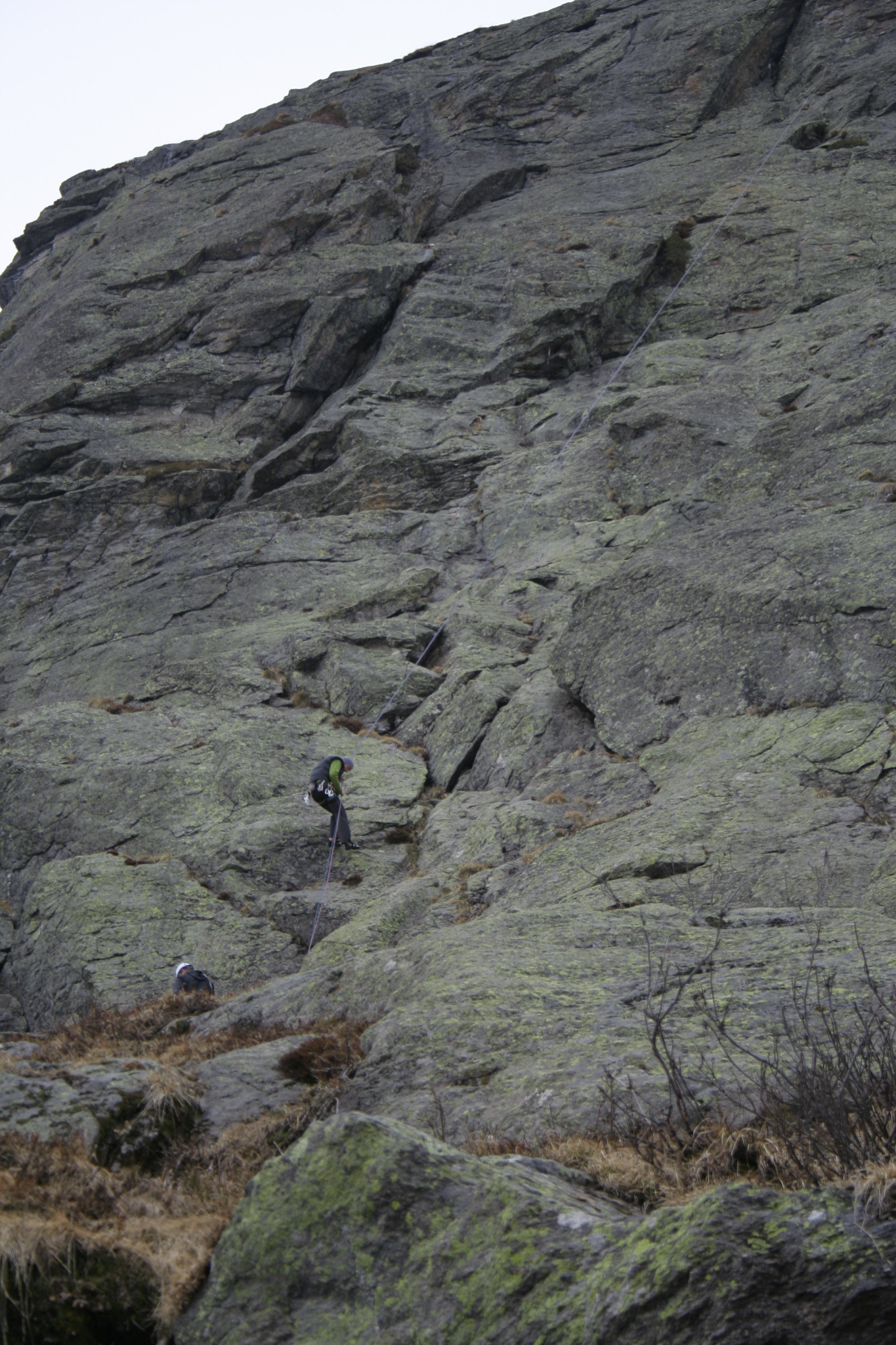
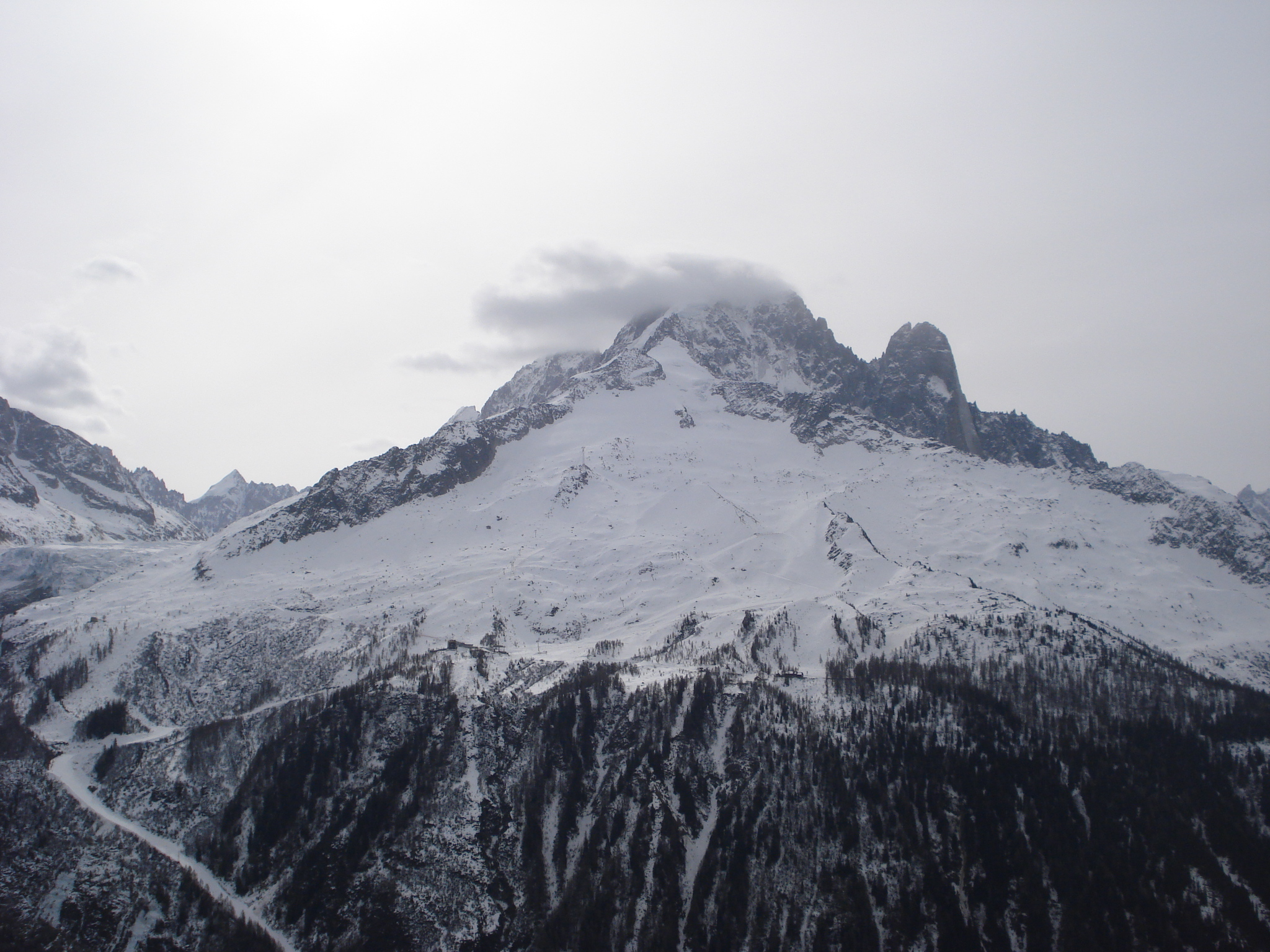
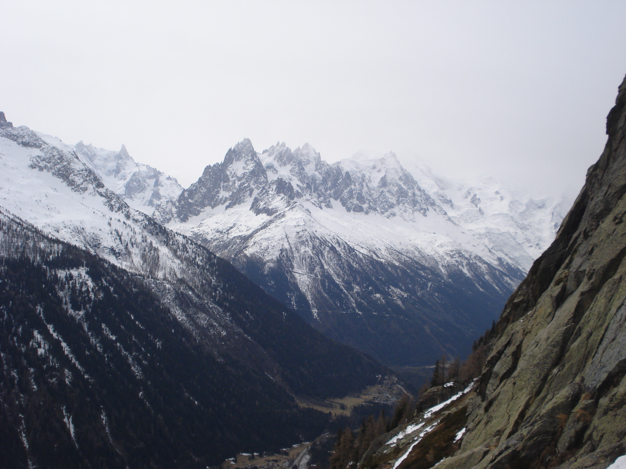
View picture information below for approximate line of the route
150 metres of good climbing. The second pitch (the crack) used to be a test piece for aspirant guides in big boots.

The text and images in this page are available
under a Creative Commons CC-by-sa licence.

Download the Whympr App to view this route in 3D.
- Route search (100 000)
- Community returns
- Weather forecast
- Avalanche bulletin
- Race book
- Creation of tracks
- Topographic map (including IGN)