

Open this route in the app to prepare your next outing.

Min / max altitude1519m / 2462m
Main facingSW
Route typeReturn the same way
Source
Details
Montée
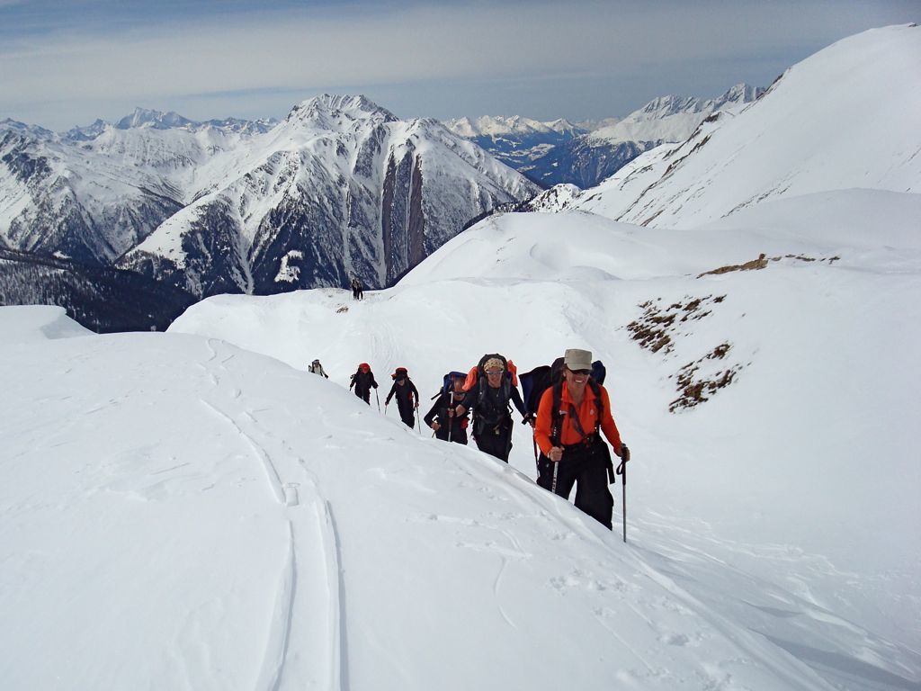
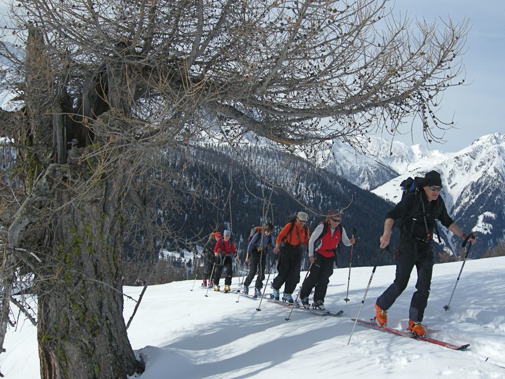
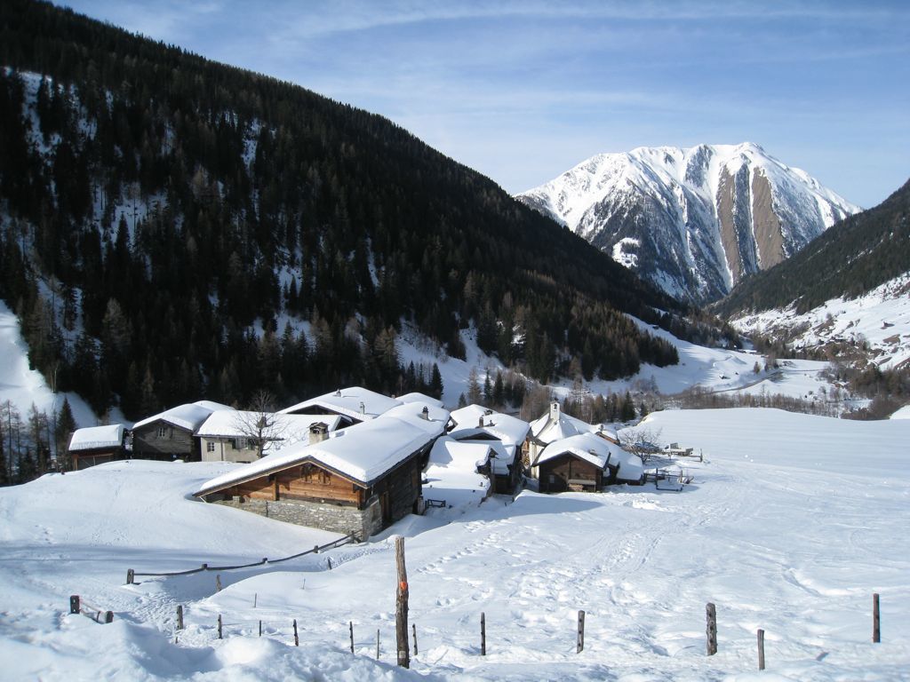
De Fäld, traverser le pont sur la rivière, passer le hameau et prendre la route qui monte direction Binntalhütte. Après le pt 1775, prendre le chemin qui monter sur la gauche et rejoindre l’alpage d’Eggerbode, puis celui d’Hanschbiel. De là, rejoindre la crête en traversant des pentes un peu plus raides, et rejoindre le sommet en passant par le versant N, vers les chalets.
Descente
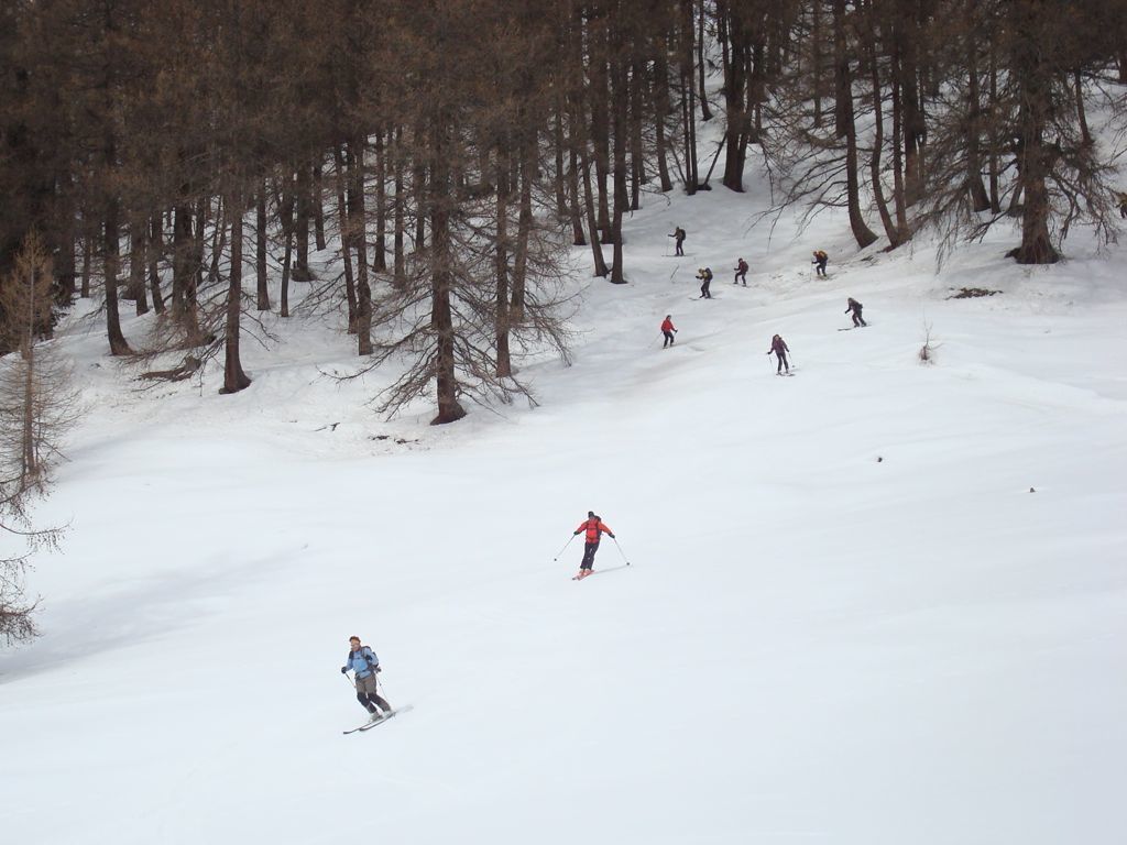
Par le même itinéraire.

The text and images in this page are available
under a Creative Commons CC-by-sa licence.

Download the Whympr App to view this route in 3D.
- Route search (100 000)
- Community returns
- Weather forecast
- Avalanche bulletin
- Race book
- Creation of tracks
- Topographic map (including IGN)