

Open this route in the app to prepare your next outing.
Min / max altitude1453m / 2201m
Duration3 hours
Main facingSE
Route typeReturn the same way
Snowboarding possible
Source
Details
Access
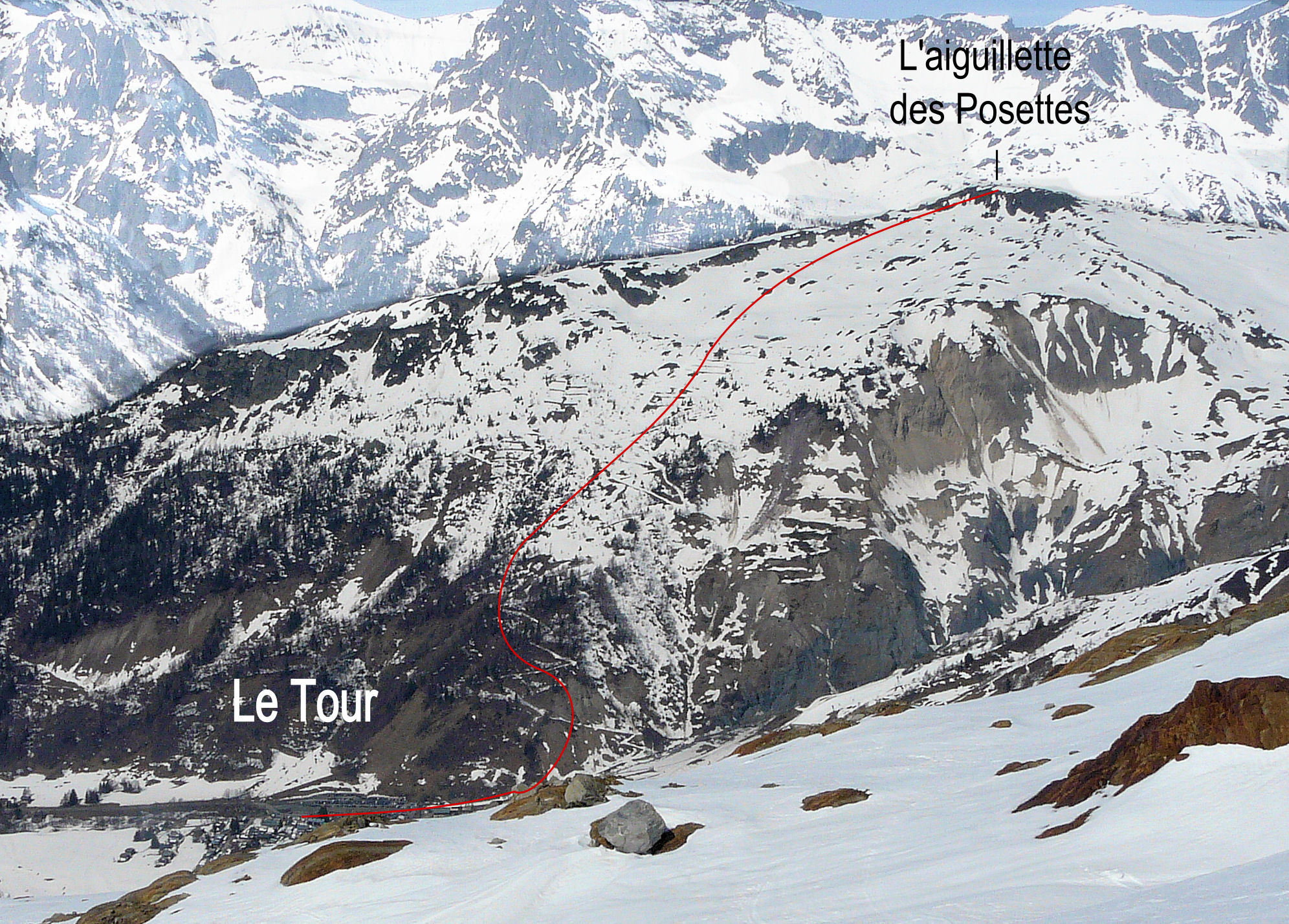
From the parking at Le Tour
Route
There are two options to start the ascent:
- Take the summer path to the N and follow it to a signpost “chemin piéton” (at about 1580m ).
- Start to the left of the bottom lift station and to the left of the river, (looking up from the top of the car parking.) Follow the river for about 500m then go up a path on the left to reach the signpost mentioned in the first option.
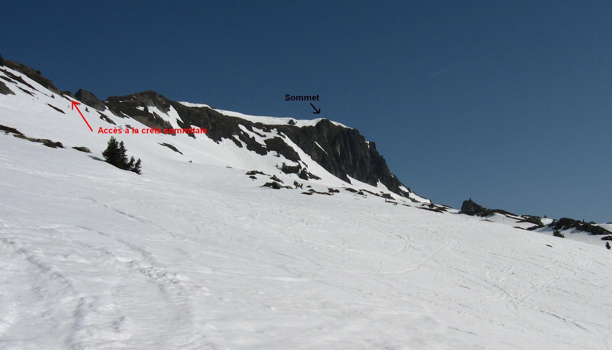
From the signpost go up for several hundred metres in the forest to leave it at around 1650m (commemorative plaque.) From here follow the summer path, which steepens under some avalanche barriers, to reach a little plateau with abandoned slates. Go up a sustained slope to reach the summit ridge about 100m below the summit and continue up this to the summit. (It is easier to traverse under the summit to reach the top of the Possettes ski lift and then up the ridge to the summit from there.)
Descent
Several options :
- Follow, more or less, the ascent route.
- Descend NE to the top of the Posettes skilift and take one of the many options from there, e.g the Combe des Gossailles, back to Le Tour.
- Go down to the W onto the side facing le Buet/Vallorcine and take one of the several gullies on the W face, (avalanche prone, S3 and S4 depending on the gully).

The text and images in this page are available
under a Creative Commons CC-by-sa licence.

Download the Whympr App to view this route in 3D.
- Route search (100 000)
- Community returns
- Weather forecast
- Avalanche bulletin
- Race book
- Creation of tracks
- Topographic map (including IGN)