

Open this route in the app to prepare your next outing.


Min / max altitude2998m / 3998m
Duration2 days
Main facingNE
Route typeTraverse
Glacier gear required
Gear- Petit jeu de coinceurs.
Source
Details
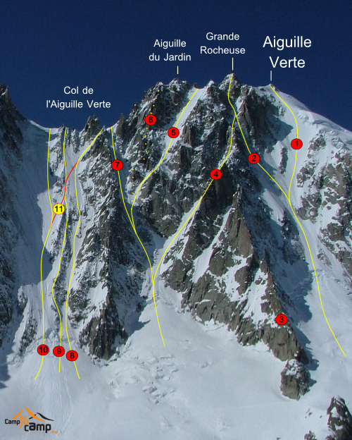
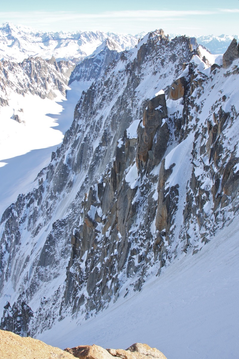
The Bergschrund is often open and difficult to cross. The slope (50degrees) quickly steepens to 70/75dehrees. The long 400m and sustained(50degree)right trending slope gets the sun very early in the morning. descent is on the Telefre side. The upper third of the slope is steep at first, but quickly eases to 40degree.

The text and images in this page are available
under a Creative Commons CC-by-sa licence.

Download the Whympr App to view this route in 3D.
- Route search (100 000)
- Community returns
- Weather forecast
- Avalanche bulletin
- Race book
- Creation of tracks
- Topographic map (including IGN)