

Open this route in the app to prepare your next outing.

Details
Approach
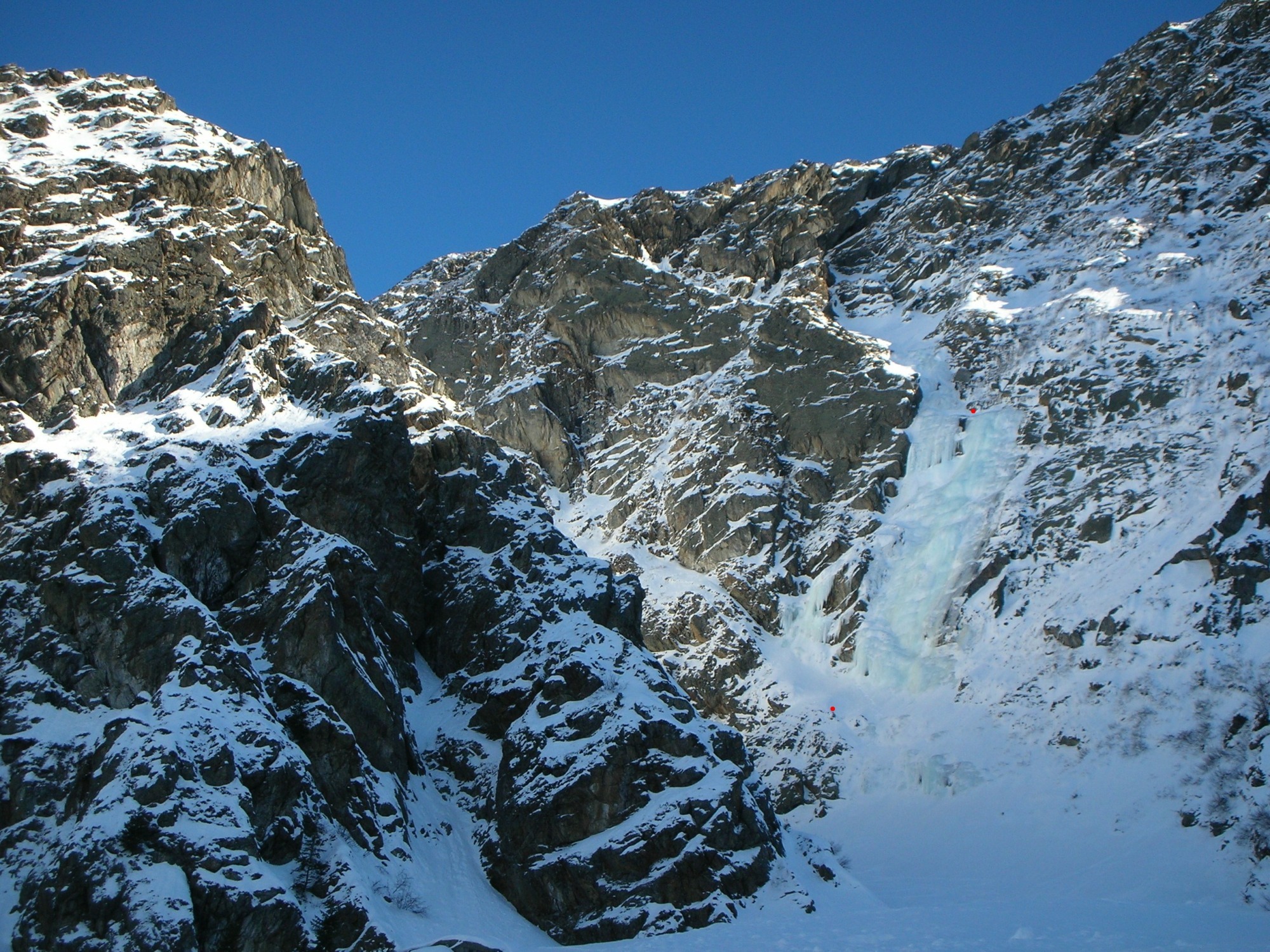
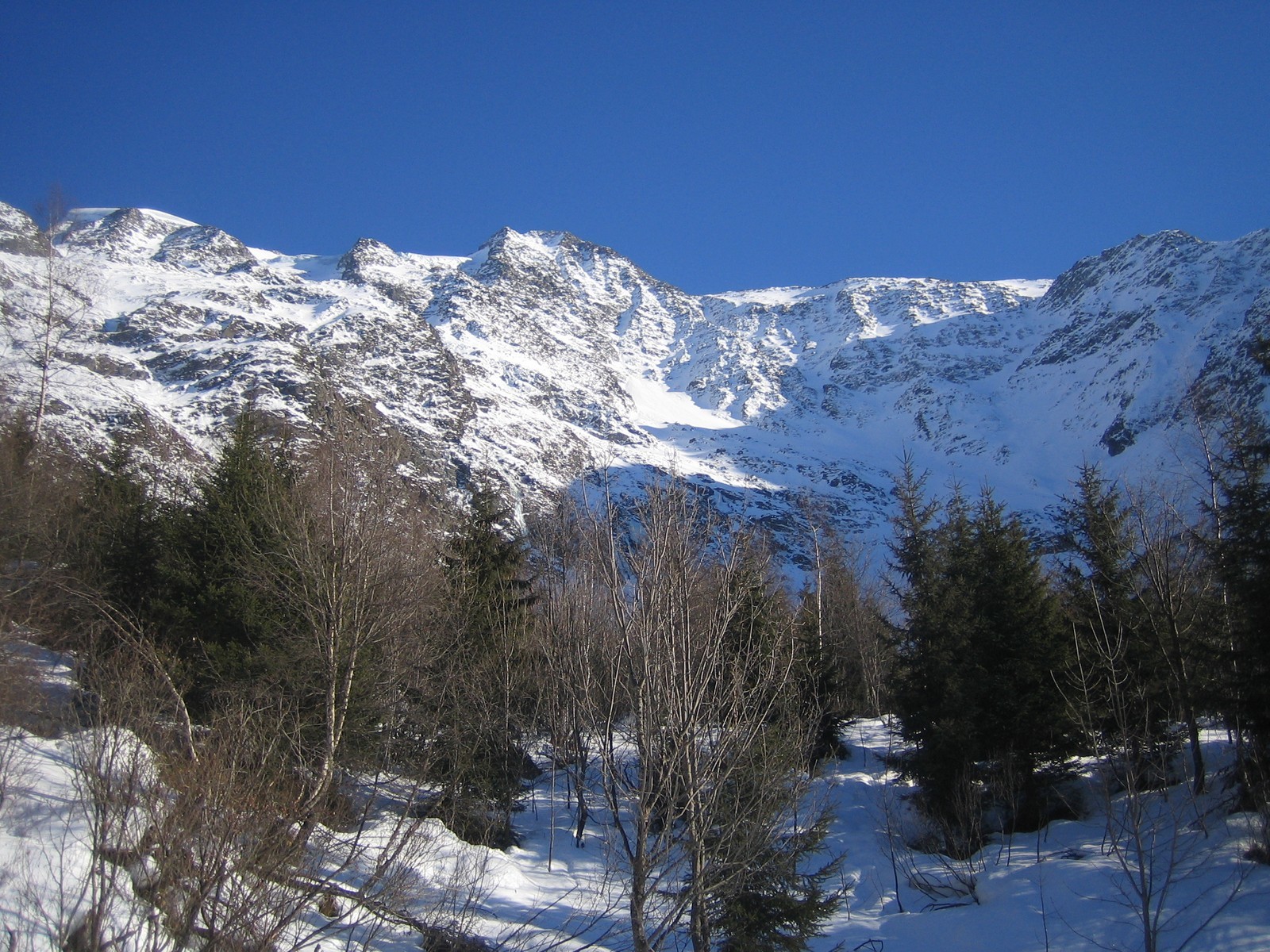
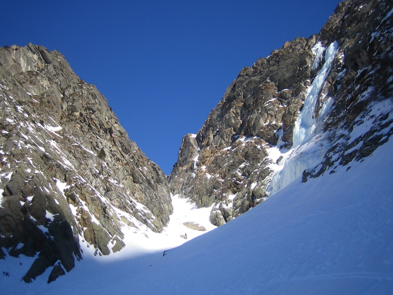
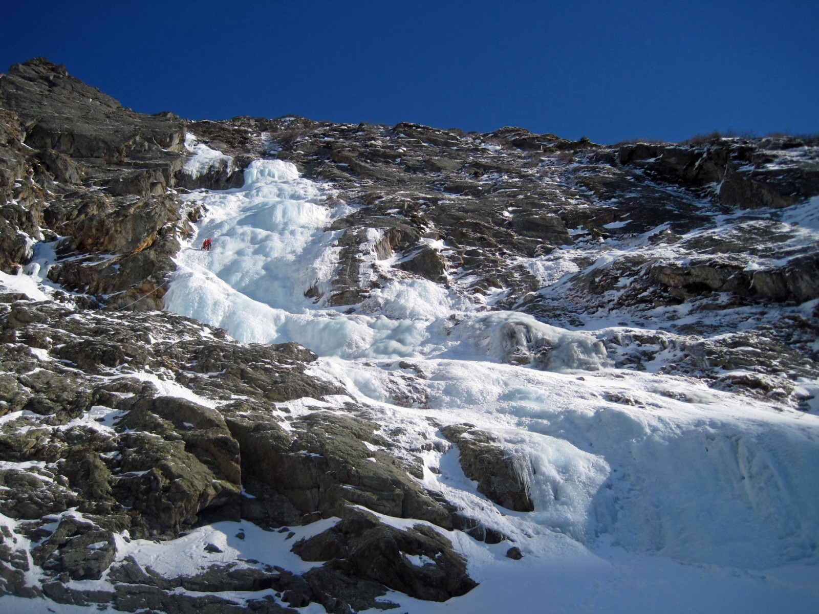
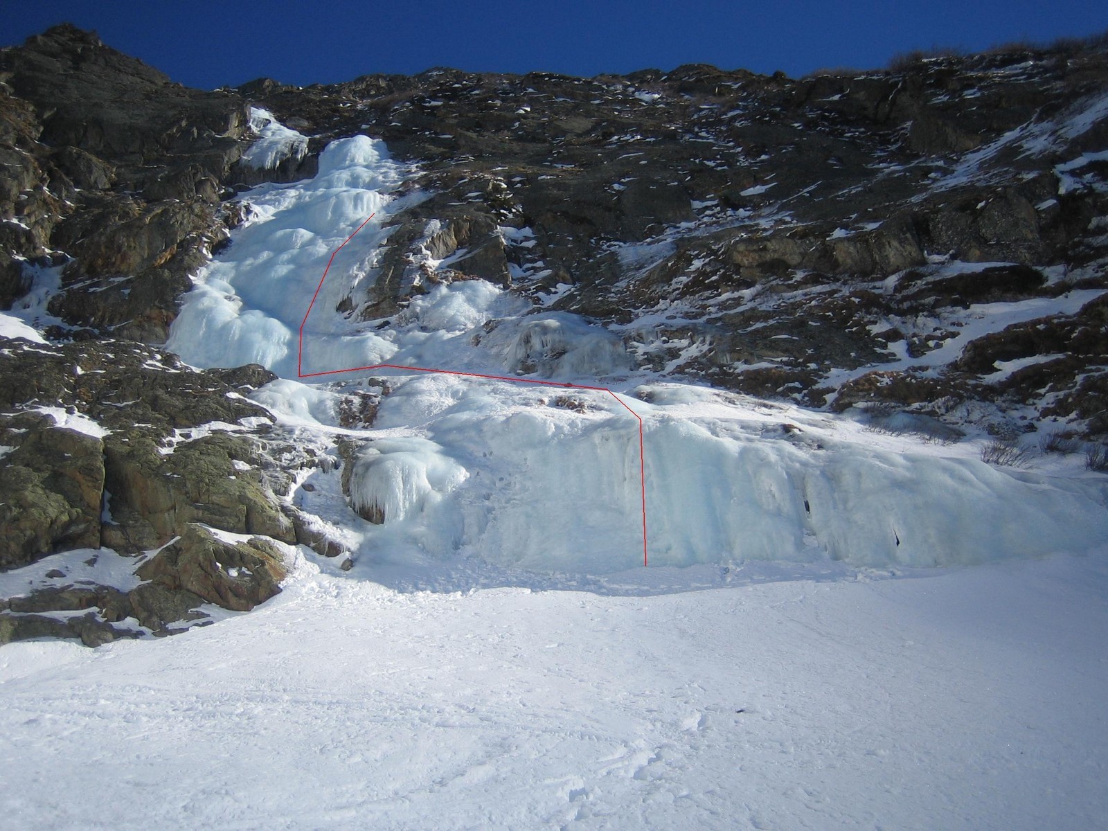
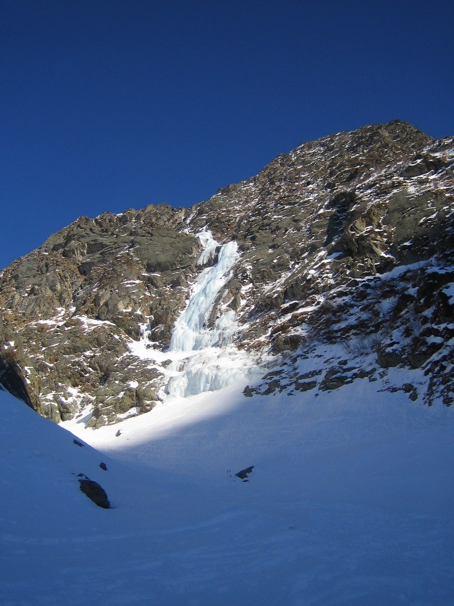
From the parking at la Frasse (Les Contamines-Montjoie) go up the forest track towards the Armancette lake. Before arriving at the lake, go SE up the true right bank of the Armancette cwm. The icefalls can be seen on the left. The “Ligne principale”, the left most line, becomes more obvious as you climb upwards.
Route
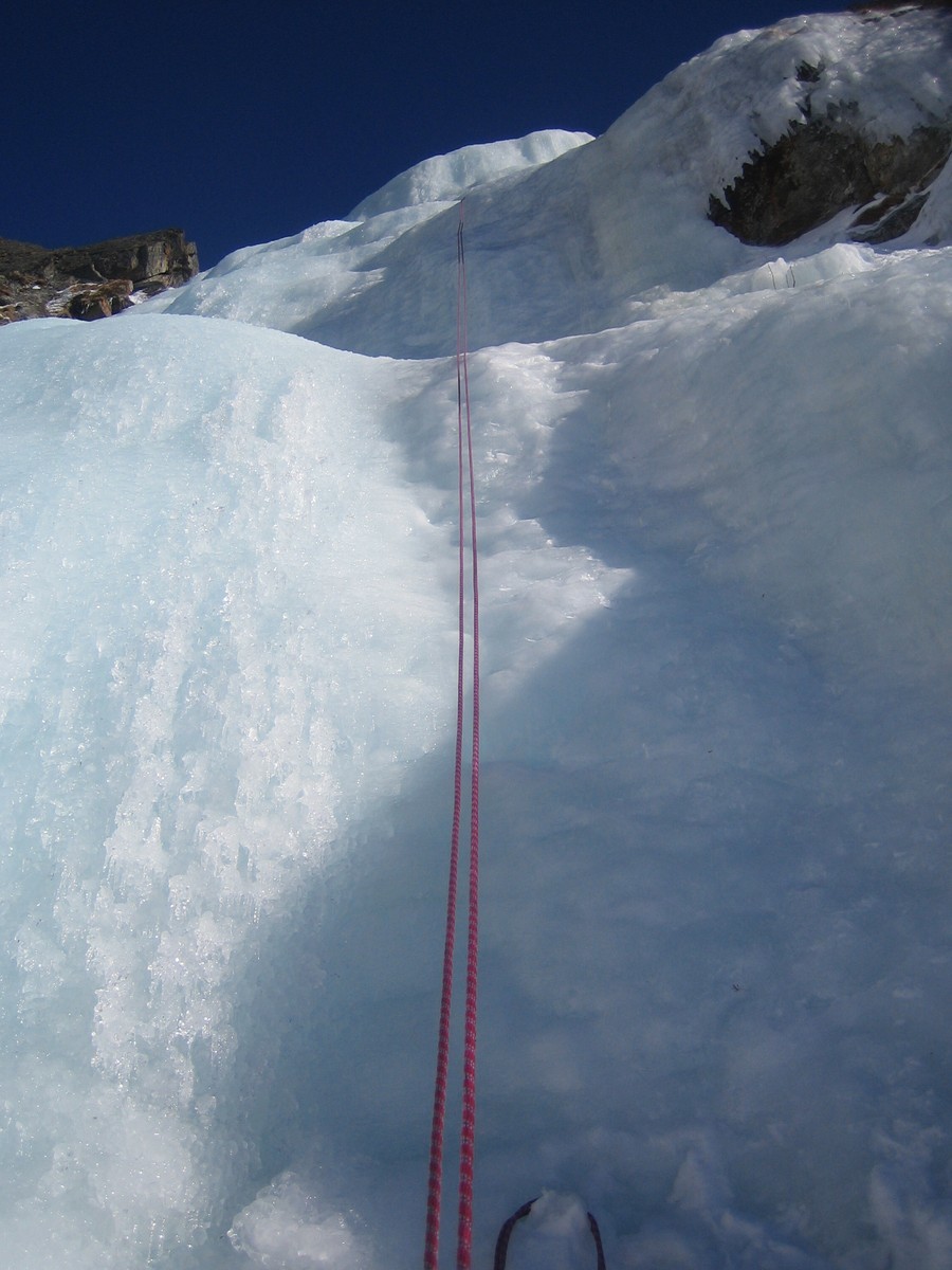
L# | | 2 steps at 3, then a snow slope to reach the foot of the main wall, (ice screw belay.) L# | 50m | 4/4+ (depending upon the line taken), a vertical start for 8m then 80°, (ice screw belay.) L# | 30m | 75° on the right, steeper on the left, to reach a broad ledge. Belay with 2 bolts on the right, (also 2 bolts on the left.) L# | 15m | 3/3+, Belay with 2 pegs on the right.
Descent
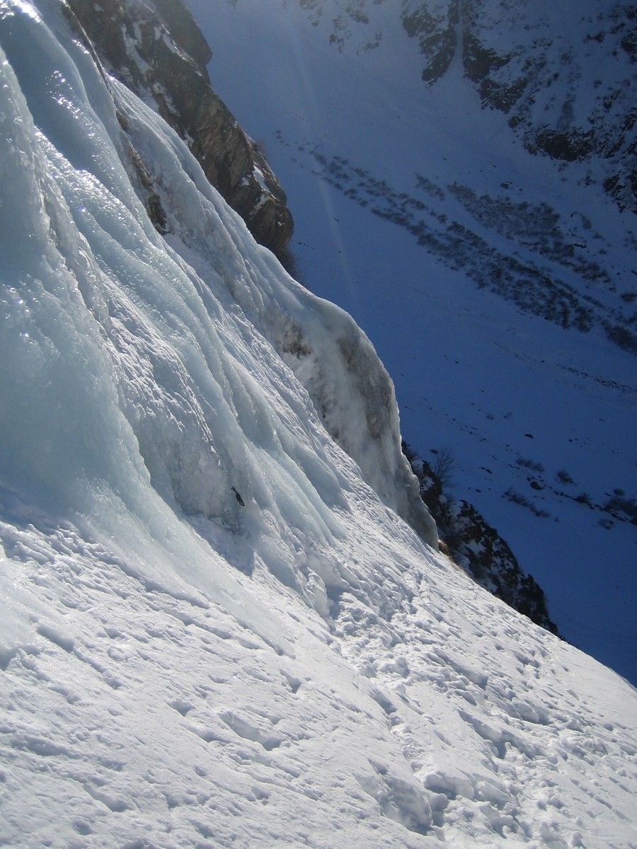
From the top of pitch 4, it is best to abseil from the right hand belay, new and in the line of the gully. With an intermediary belay on an Abalokov, you can reach the foot of the main wall. There is a peg belay at the side of the rock band for the final abseil.
The icefall is underneath the Armancette glacier, do not climb if there is a risk of avalanche.

The text and images in this page are available
under a Creative Commons CC-by-sa licence.

Download the Whympr App to view this route in 3D.
- Route search (100 000)
- Community returns
- Weather forecast
- Avalanche bulletin
- Race book
- Creation of tracks
- Topographic map (including IGN)