

Open this route in the app to prepare your next outing.
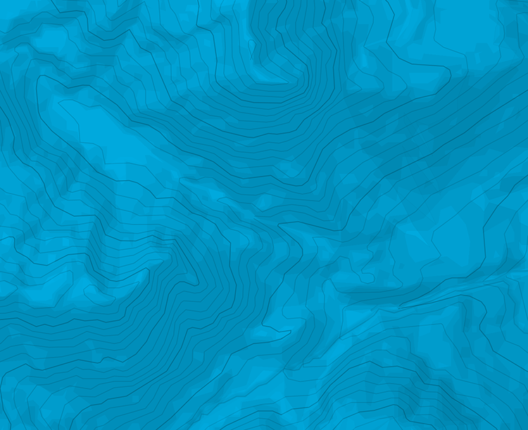
Min / max altitude1000m / 1804m
Duration3 hours 12 minutes
Main facingS
Route typeReturn the same way
Source
Details
Montée
Partir du vallon de l’Arrondine pour rejoindre les chalets de Nanchard. Suivre ensuite le sentier jusqu’aux Teurets. Progresser alors sur la croupe jusqu’aux Carrées et par un chemin contourner le hameau de Chaucisse jusqu’au Rosets. Suivre la route fermée l’hiver qui contourne la Croix Cartier par l’W. Rejoidnre le sommet par son versant W.
Descente
Par le même itinéraire.

The text and images in this page are available
under a Creative Commons CC-by-sa licence.

Download the Whympr App to view this route in 3D.
- Route search (100 000)
- Community returns
- Weather forecast
- Avalanche bulletin
- Race book
- Creation of tracks
- Topographic map (including IGN)