

Open this route in the app to prepare your next outing.
Min / max altitude1352m / 2525m
Duration5 hours 31 minutes
Main facingSW
Route typeTraverse, Loop
Source
Details
Ascent
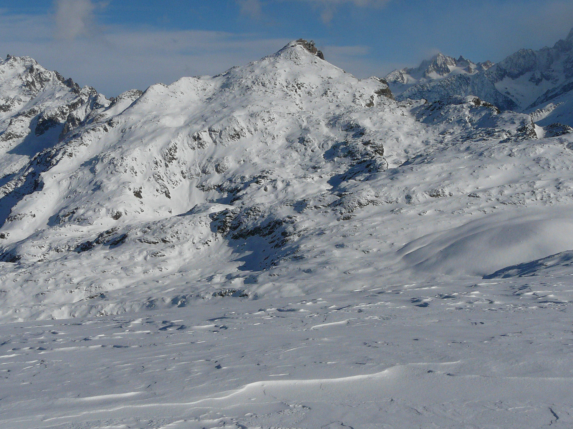
Park the car at Le Bettey (1352m). Follow the normal way up the Aiguillette des Houches by the Plan la Cry and the Chalets de Chailloux. Very popular for snow showing as far as the Chalets de Chailloux. From the Aiguillette des Houches (2285m) go to the col de Bellachat (2130m) and then to the Tête de Bellachat, by basically following the summer footpath. From the Tête de Bellachat climb up to the Brévent lift by the Grand Balcon.
Descent
From the top of the Brévent (2525m) descend to Chamonix by the piste and then the Couloir du Brévent

The text and images in this page are available
under a Creative Commons CC-by-sa licence.

Download the Whympr App to view this route in 3D.
- Route search (100 000)
- Community returns
- Weather forecast
- Avalanche bulletin
- Race book
- Creation of tracks
- Topographic map (including IGN)