

Open this route in the app to prepare your next outing.
Min / max altitude1090m / 1300m
Duration2 hours 18 minutes
Main facingSW
Route typeReturn the same way
Source
Details
Un artículo c2c presenta las generalidades sobre escalada en Chartreuse.
Acceso
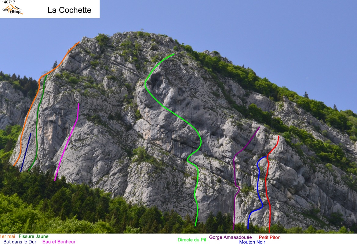
Desde el parking subir hacia el N por un sendero en bosque (hito) hasta el pie del acantilado.
Vía
L#| 6a | 30m | 5, 1 paso de 6a, luego 5 L#| 7a+>6c/A0 | 20m | 6c, 7a+>A0 luego 6a L#| 6b+ | 45m | 6a+/6b, 6b+ y 5
Bajada
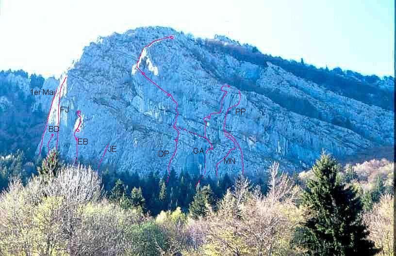
rapelando, ver estece dibujo.

The text and images in this page are available
under a Creative Commons CC-by-sa licence.

Download the Whympr App to view this route in 3D.
- Route search (100 000)
- Community returns
- Weather forecast
- Avalanche bulletin
- Race book
- Creation of tracks
- Topographic map (including IGN)