

Open this route in the app to prepare your next outing.

Details
Approach
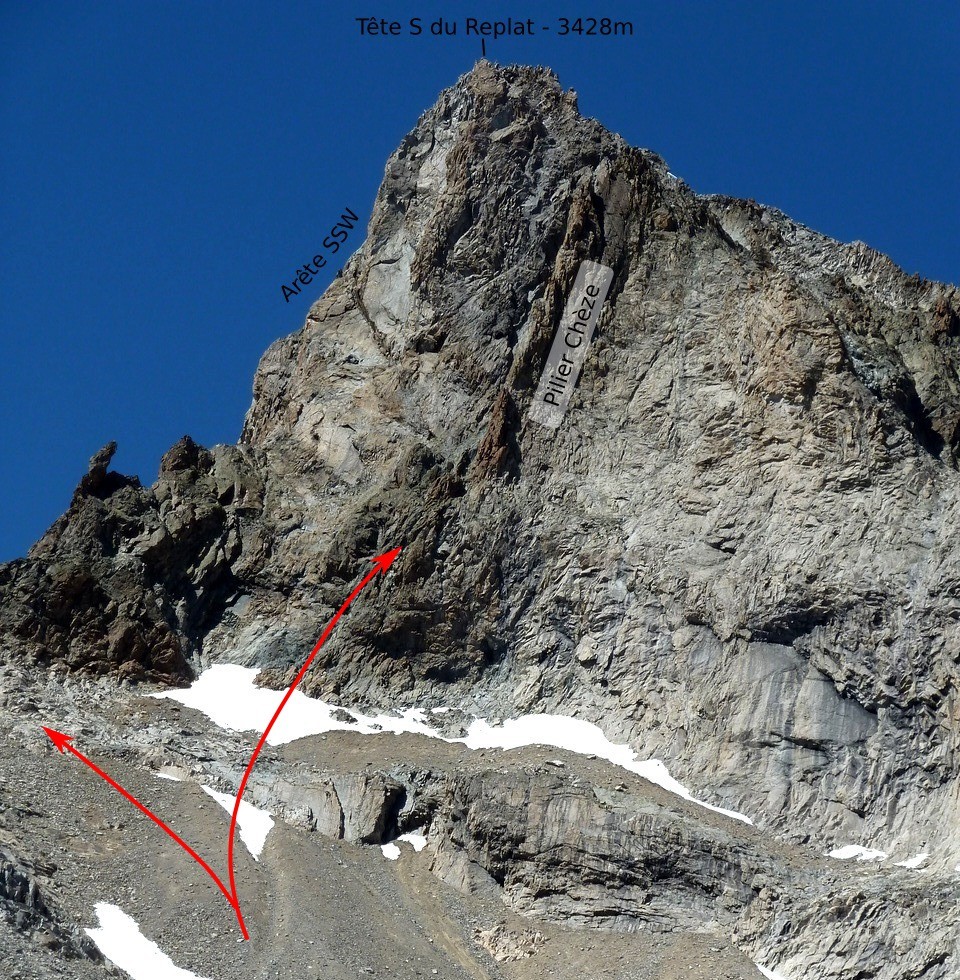
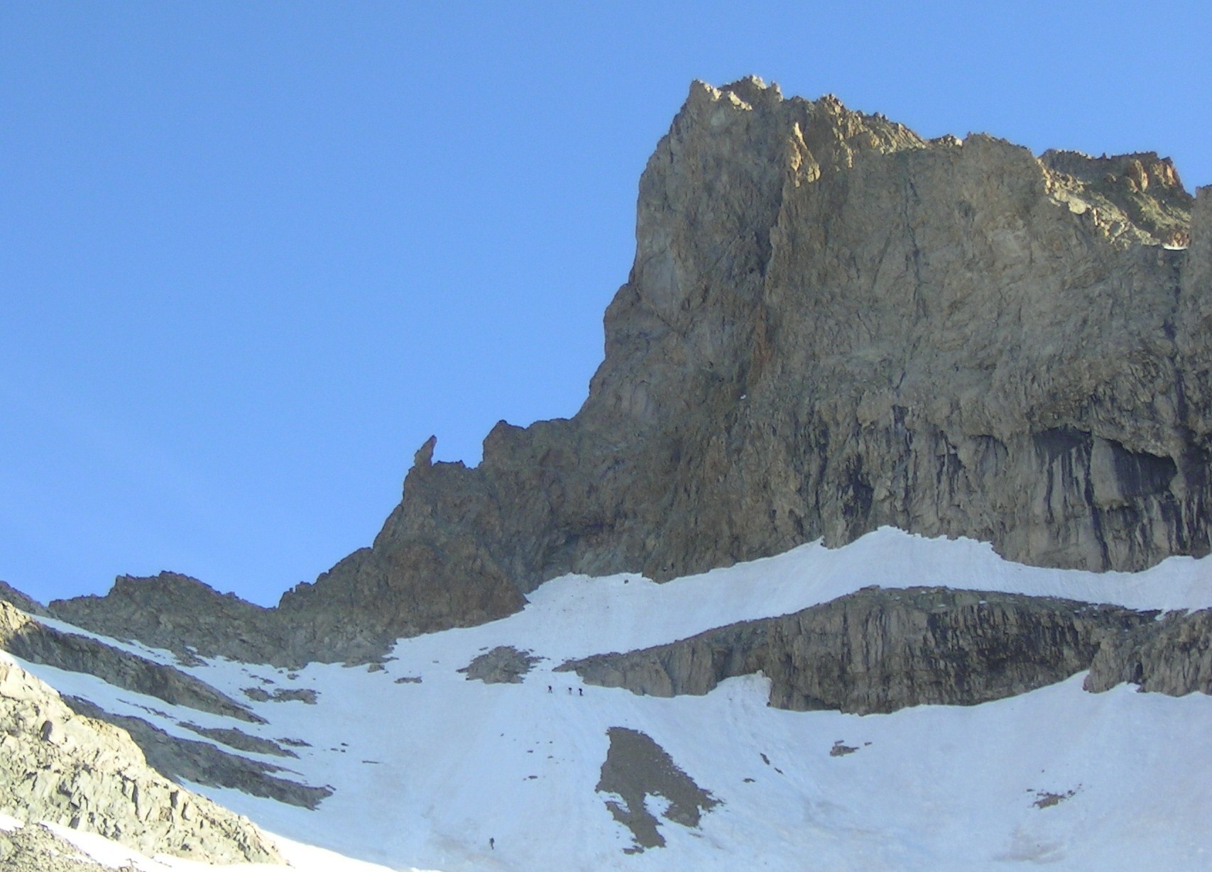
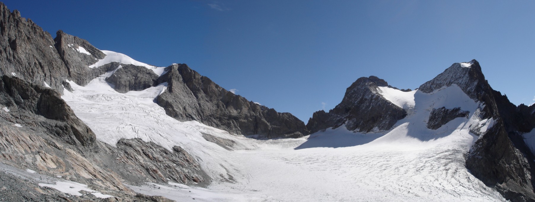
From the Châtelleret]] hut, follow the path to the [[routes/48120|col du Replat]] and then, looking for the best terrain, up to the [[waypoints/39460|col de la Selle (3201 m). Locate a red gendarme with a hole at its base.
Climb
From the Col, follow the ridge and avoid the gendarme (and the following steeper section) by the right before getting back on the ridge and climbing it up to the base of the obvious, grey, ramp that rises towards the left. The ridge gets steeper as you approach the ramp.
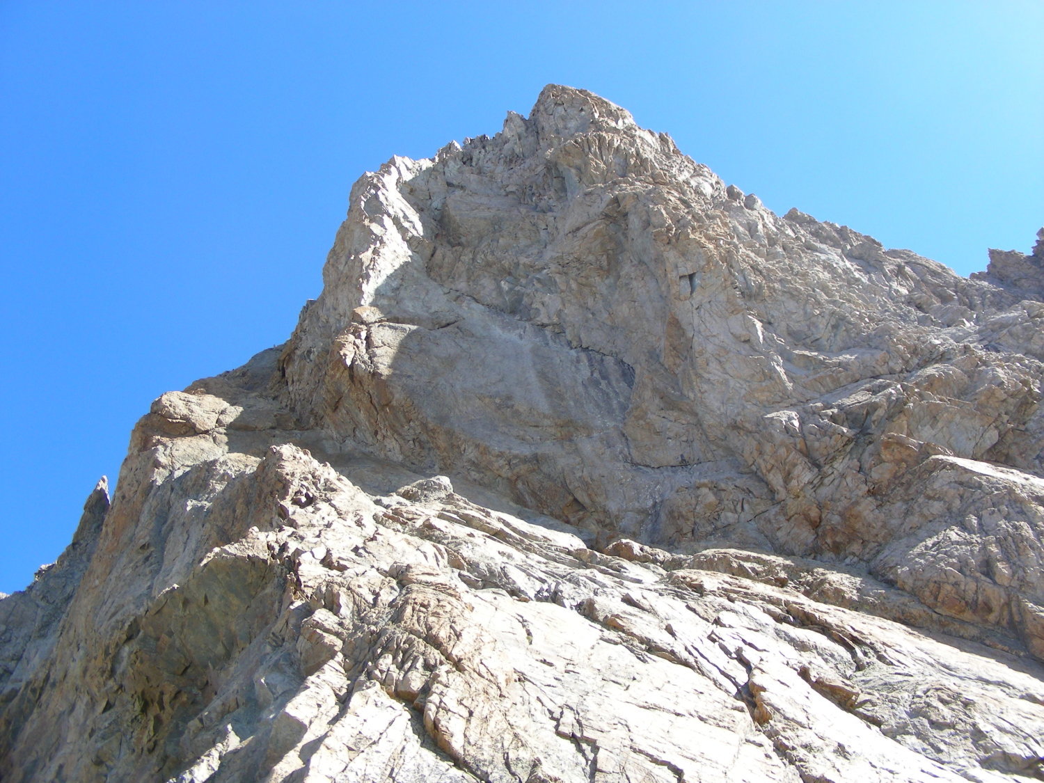
Climb up the ramp, on its lefthand side before going back to the right towards a short chimeney. Climb the chimeney and then go left up a short slab to a good ledge (belay on 2 pitons).
From the ledge, go up the ramp (now desicelvely steeper) first by a crack on the left (5m, 4a) up to a 3 piton belay (optional), then a short traverse to the right (4c) to the base of the final crack which leads up the ramp to the end of the difficulties, below the summit. This pitch is 30m long. From there, reach the summit on easy but brocken terrain.
Descent
From the summit, follow the NE ridge (F, snow or brocken rocks) to the Col du Replat and from there the normal route back to the refuge.

The text and images in this page are available
under a Creative Commons CC-by-sa licence.

Download the Whympr App to view this route in 3D.
- Route search (100 000)
- Community returns
- Weather forecast
- Avalanche bulletin
- Race book
- Creation of tracks
- Topographic map (including IGN)