

Open this route in the app to prepare your next outing.

Details
The route has been recently been re-equipped with bolts and the belays with chains. Ask at the hut for details.
Approach # 1h-1h30
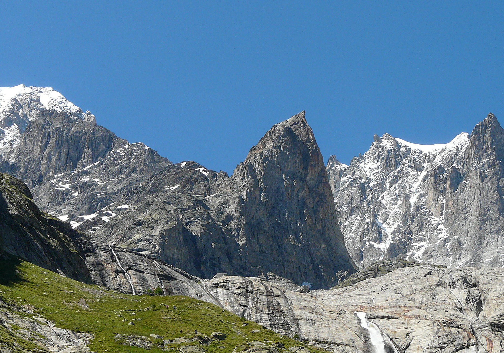
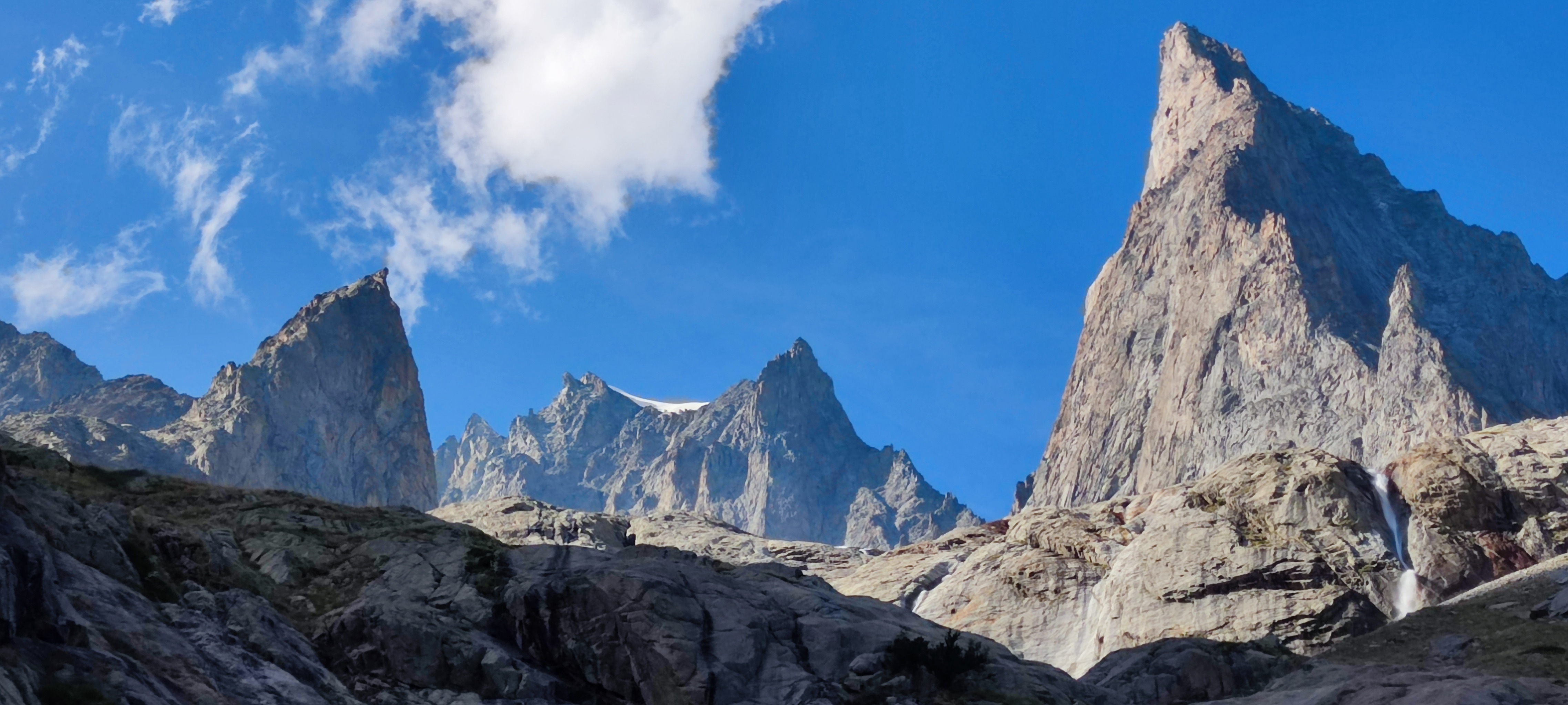
From the Monzino hut, take the marked path, that leads to the SE face of the Aig Croux, clearly visible from the hut. Leave the path as it heads to the left towards the Brouilliard glacier to traverse the slopes until a steeper section, which is best traversed diagonally, (not obvious), aiming for snow/scree slope at the foot of the face. Climb up this easily, (30° max, crampons useful if icy), to the start of the route, which is at an obvious rounded platform/pedestal at the foot of right hand end of the face, overlooking the Freney glacier.
Route # 5h
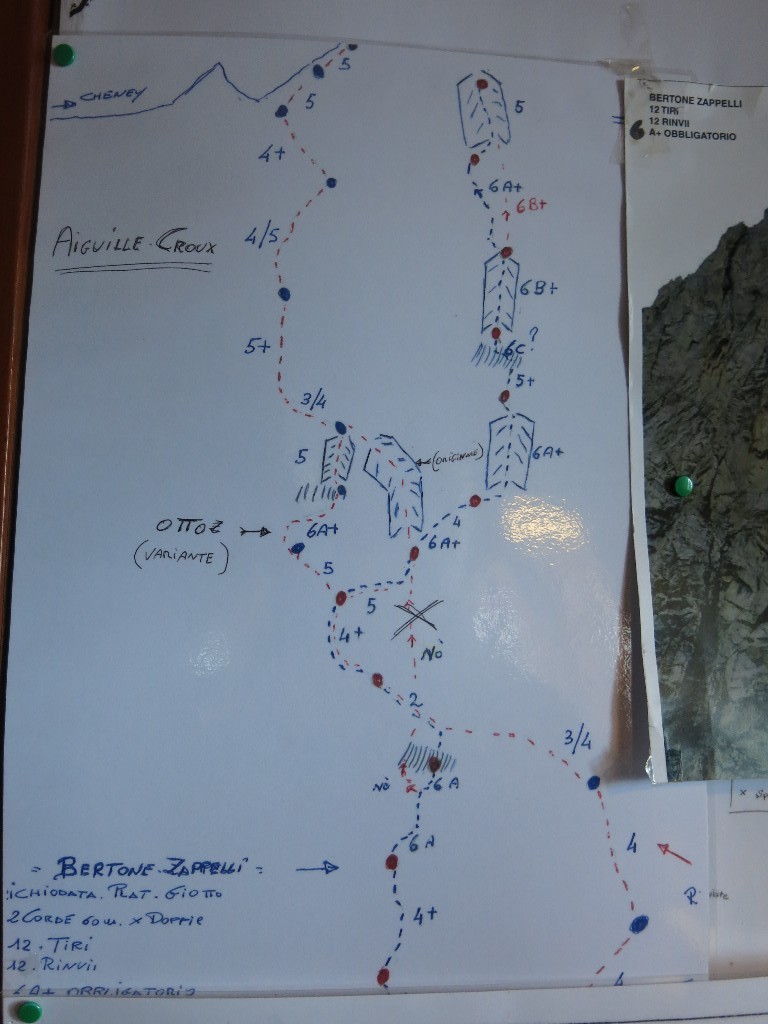
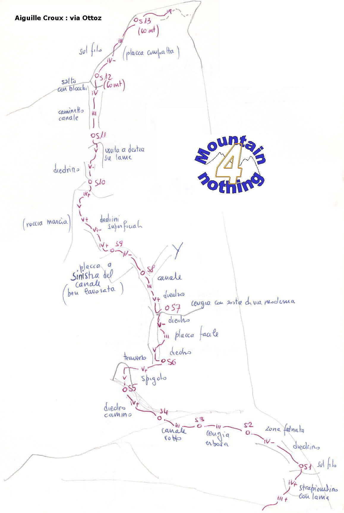
Climb up the grooved slabs diagonally leftwards, then traverse leftwards more easily (3) to the foot of some smooth black rocks, vertically below the gap in the S ridge of the summit.
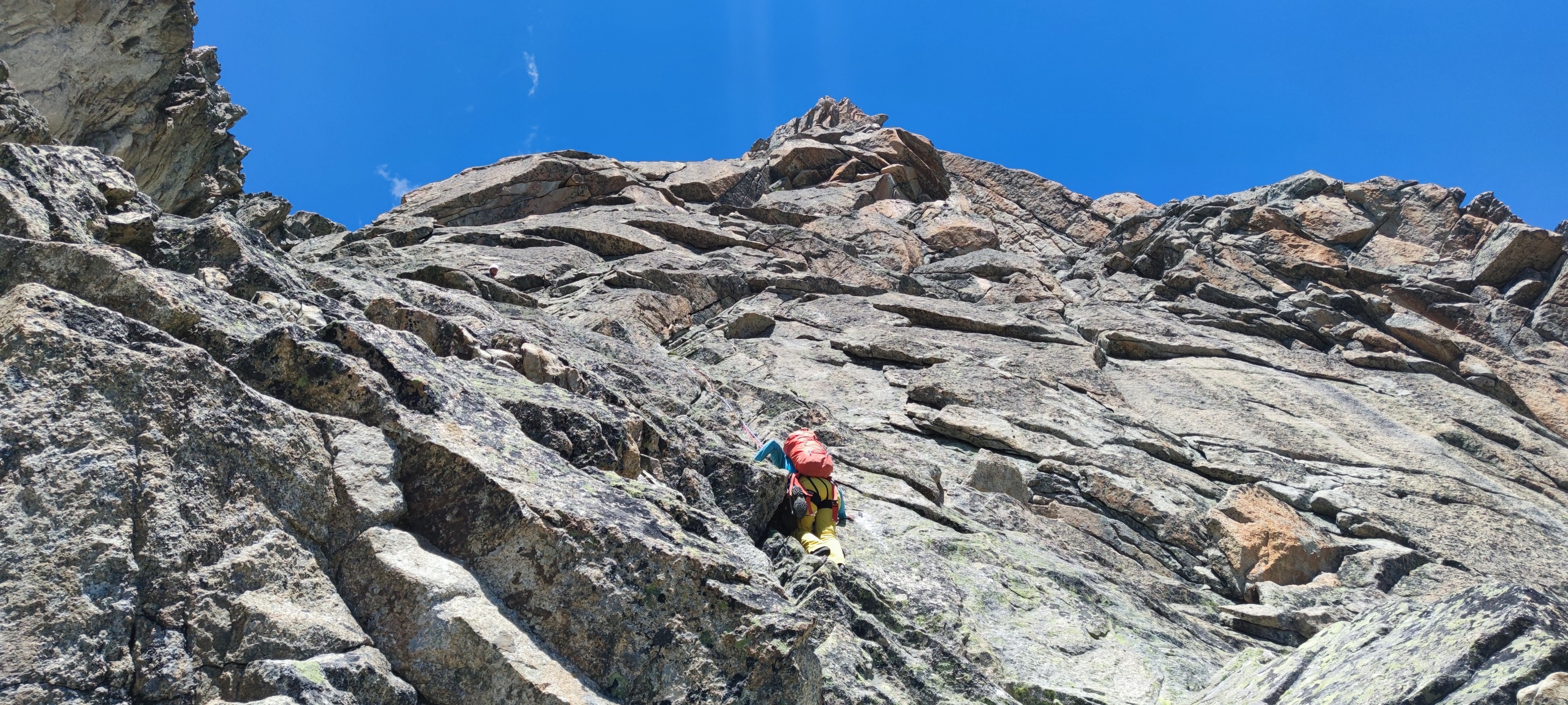
Climb a pitch to the left (4a) then traverse back horizontally rightwards for 20m (5, delicate), to the foot of a chimney. Climb this for 50m exiting on the left (5) to gain the foot of a buttress with an obvious crack. Climb the crack (the original way, strenuous, 5c) with a little overhang near the top. One can avoid this pitch by a wall with cracks to the right, followed by a ramp to the left (easier but not obvious from below.)
Another chimney which one exits on the left (4 and 5,) then again to the left, steep but with good holds, leading to a belay with bolts, at the foot of a nice crack in black rock. (The original way went further right, up another chimney then a loose and difficult corner.) Climb the crack (5c, protected with nuts) to reach easier ground, a succession of little buttresses and rock steps in the middle of a large gully, which leads to the gap in the S ridge, where one joins the S (or SW) ridge route.
The summit is reached in two nice pitches of grooved slabs (4), (equipped belays and some bolts), then an easy section of ridge for 20m to the summit.
Descent # 2h-2h30
Regain the gap in two abseils.
From here either:
Abseil back down the SE face, using the belays set up for the modern routes, which crosses the Ottoz route twice. You need a good topo to avoid getting lost!
or:
Descend the normal route (SW), rock steps and little buttresses, (3) which can be down climbed or abseilled (6 abseils of 25m, well equipped and easy to find). This leads to the top of the snow slope on the SW face Descend this, keeping to the right to reach a rock band of about 40m. Either climb down this on the left or make a last abseil, (equipped), of 30m to reach a little glacier, (no crevasses). Go easily down this with the hut in view to reach the approach path then the hut.

The text and images in this page are available
under a Creative Commons CC-by-sa licence.

Download the Whympr App to view this route in 3D.
- Route search (100 000)
- Community returns
- Weather forecast
- Avalanche bulletin
- Race book
- Creation of tracks
- Topographic map (including IGN)