

Open this route in the app to prepare your next outing.
Length10206m
Min / max altitude2600m / 4328m
Main facingSE
Route typeReturn the same way
GearQuizás crampones temprano en temporada ya que gran parte de la ruta esta expuesta al SW.
Source
Details
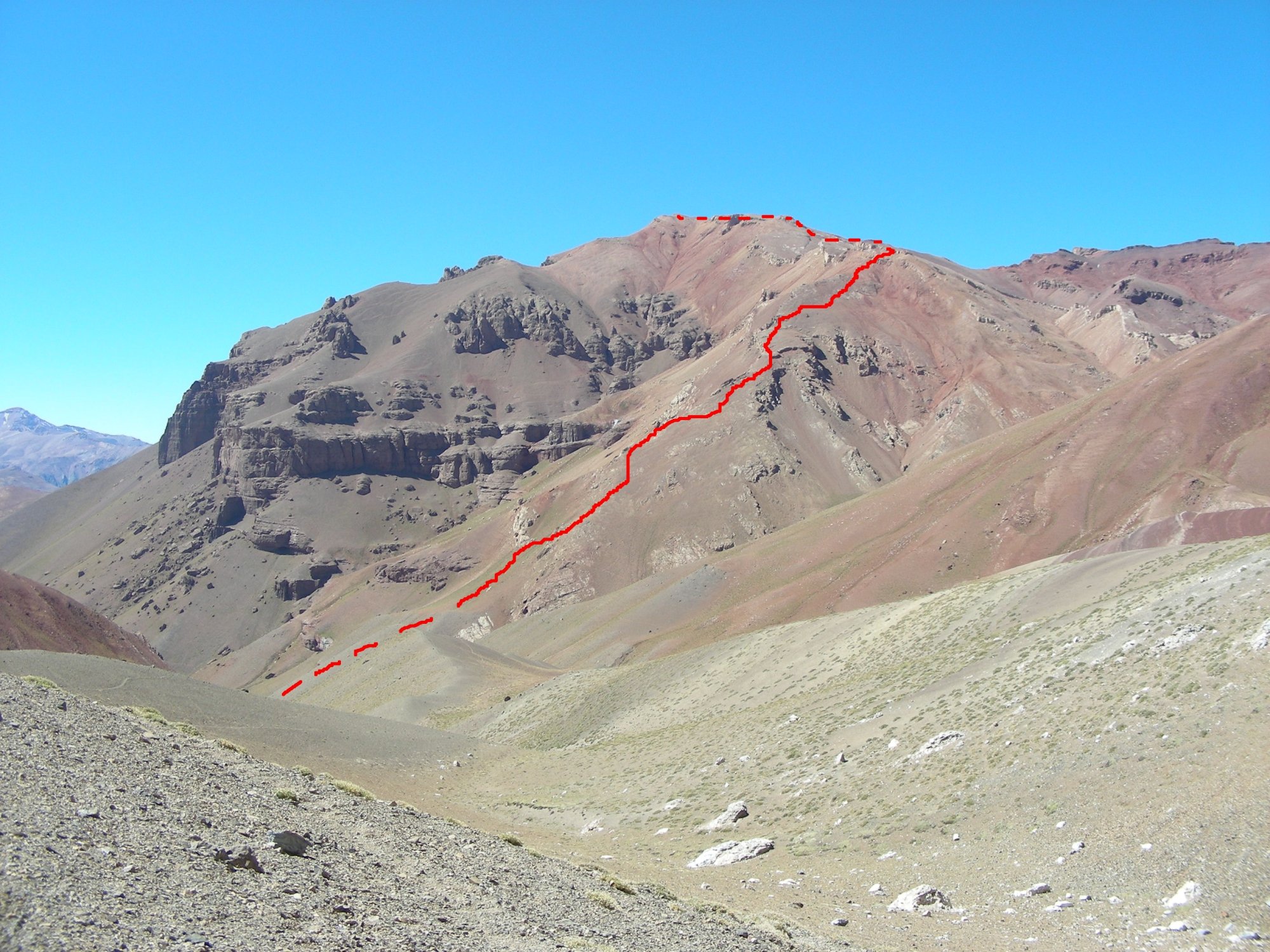
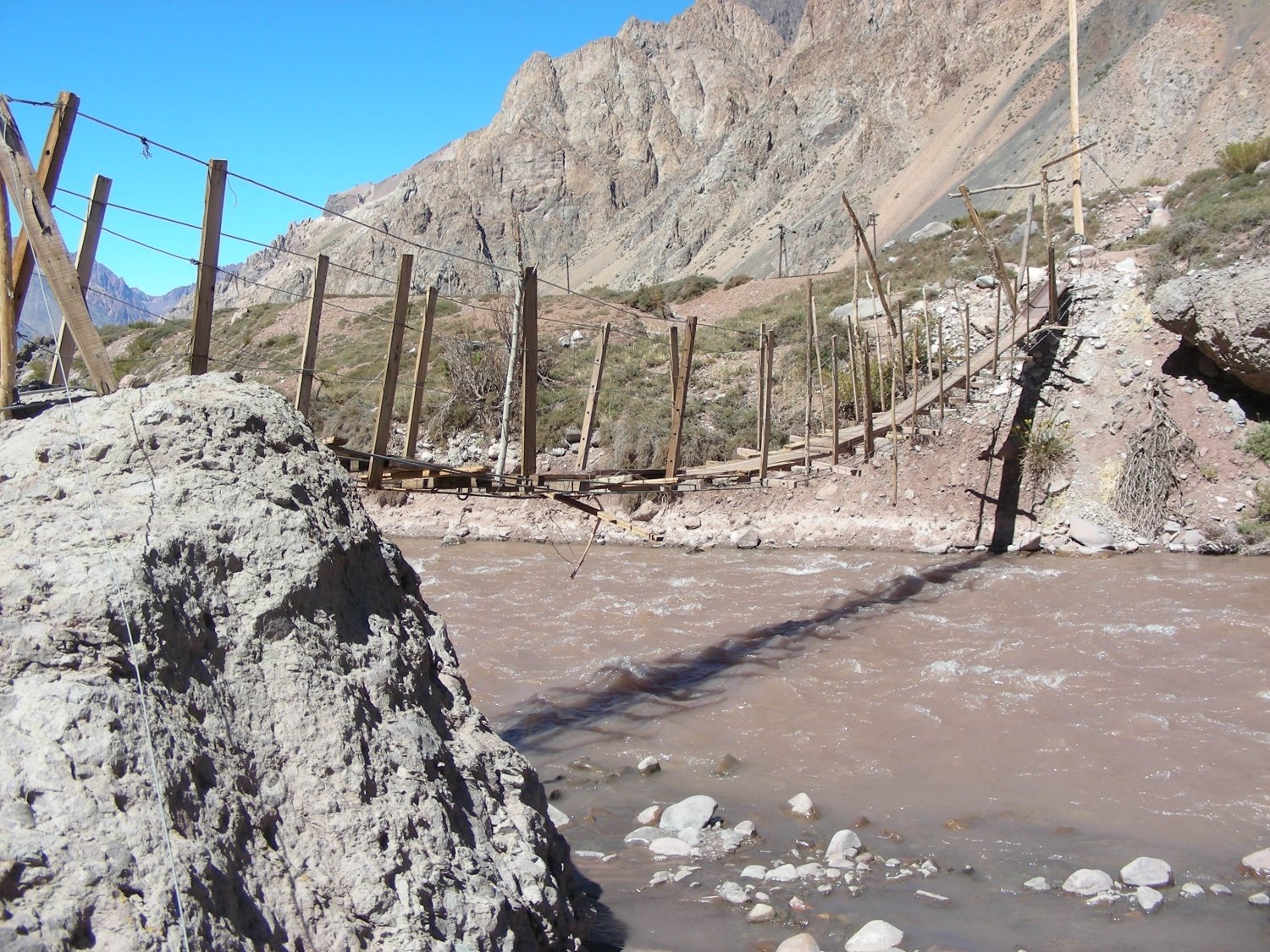
From Los Penitentes, follow the road to the small bridge to cross the river. Follow the trail near a small river up to the Grajales shelter. From there the trail continues in direction to the E up to the summit.

The text and images in this page are available
under a Creative Commons CC-by-sa licence.

Download the Whympr App to view this route in 3D.
- Route search (100 000)
- Community returns
- Weather forecast
- Avalanche bulletin
- Race book
- Creation of tracks
- Topographic map (including IGN)