

Open this route in the app to prepare your next outing.
Min / max altitude1200m / 1260m
Duration1 day
Source
Details
Approach
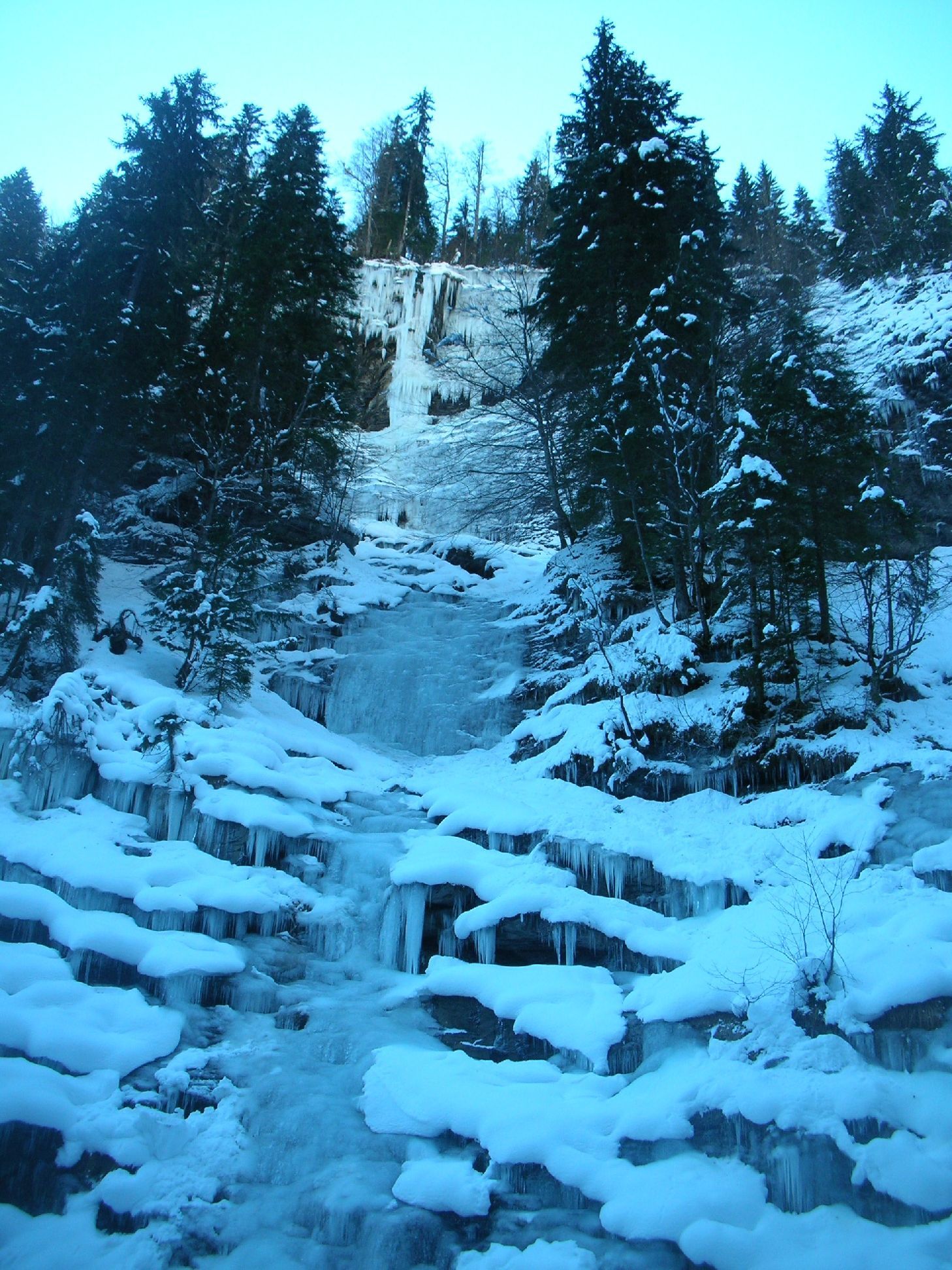
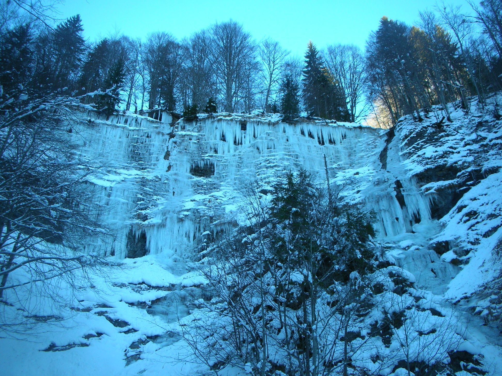
From Giettaz, drive towards Flumet until the Glières hamlet. Park as best you can on the side of the road under the cascade du Dard (or at the track descending to the l’Arrondine). Go down to the Arrondine, (leave the road 50m above the cascade du Dard,) and go E to up the stream bed of the “nant de la coufa”as named on the IGN map. There are icefalls on both sides. the N side being the better formed.
Route
Various options from 3-6, depending upon conditions. Length rarely exceeds 60m. Belay using the trees.
Descent
Abseil
Often in condition. See the guidebook referenced below for more information.

The text and images in this page are available
under a Creative Commons CC-by-sa licence.

Download the Whympr App to view this route in 3D.
- Route search (100 000)
- Community returns
- Weather forecast
- Avalanche bulletin
- Race book
- Creation of tracks
- Topographic map (including IGN)