

Open this route in the app to prepare your next outing.

Details
Approach
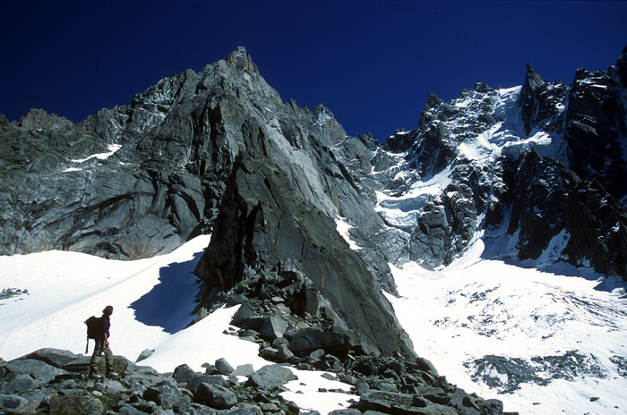
From the Plan de l’Aiguille, (mid station Aiguille du Midi,) follow the path which passes to the N of Lac Bleu, then contour to reach the Blaitière glacier. Continue contouring, (the glacier is covered in large boulders at this height,) heading for the high moraine to the left of the “Pilier Rouge de Blaitière”, at a point a little to the left of where it starts to steepen. Some cairns mark the way. In order to avoid crevassed zones, do not go too high or too low. Go up the moraine by veering around to the left, (cairns) to gain a large cwm which you traverse to the right to bypass the lames, (blades of rock). The start is 20m to the right of a gap, (cracks). The route starts up the centre of the first buttress to follow the logical line of the ridge.
Route
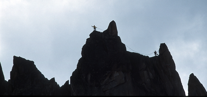
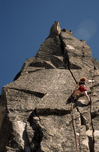
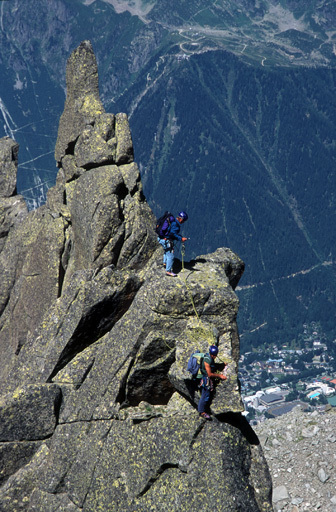
Choose one of the cracks to start climbing to the top of the first pinnacle (3-4 pitches) and then follow the line of pinnacles, (some abseils,) to an obvious notch. From here you can continue for a few more pitches. To be completed
Descent
Make a couple of abseils off the back of the last buttress and then scramble back down to the notch. From here make either 2 abseils to the west or four abseils to the east.

The text and images in this page are available
under a Creative Commons CC-by-sa licence.

Download the Whympr App to view this route in 3D.
- Route search (100 000)
- Community returns
- Weather forecast
- Avalanche bulletin
- Race book
- Creation of tracks
- Topographic map (including IGN)