

Open this route in the app to prepare your next outing.
Length7000m
Min / max altitude1856m / 3704m
Main facingSW
Route typeReturn the same way
Gear* Casque utile mais pas obligatoire
* Piolet et crampons en début de saison mais après plus du tout besoin
* Un bout de corde si on n'est pas très à l'aise avec le vide
Source
Details
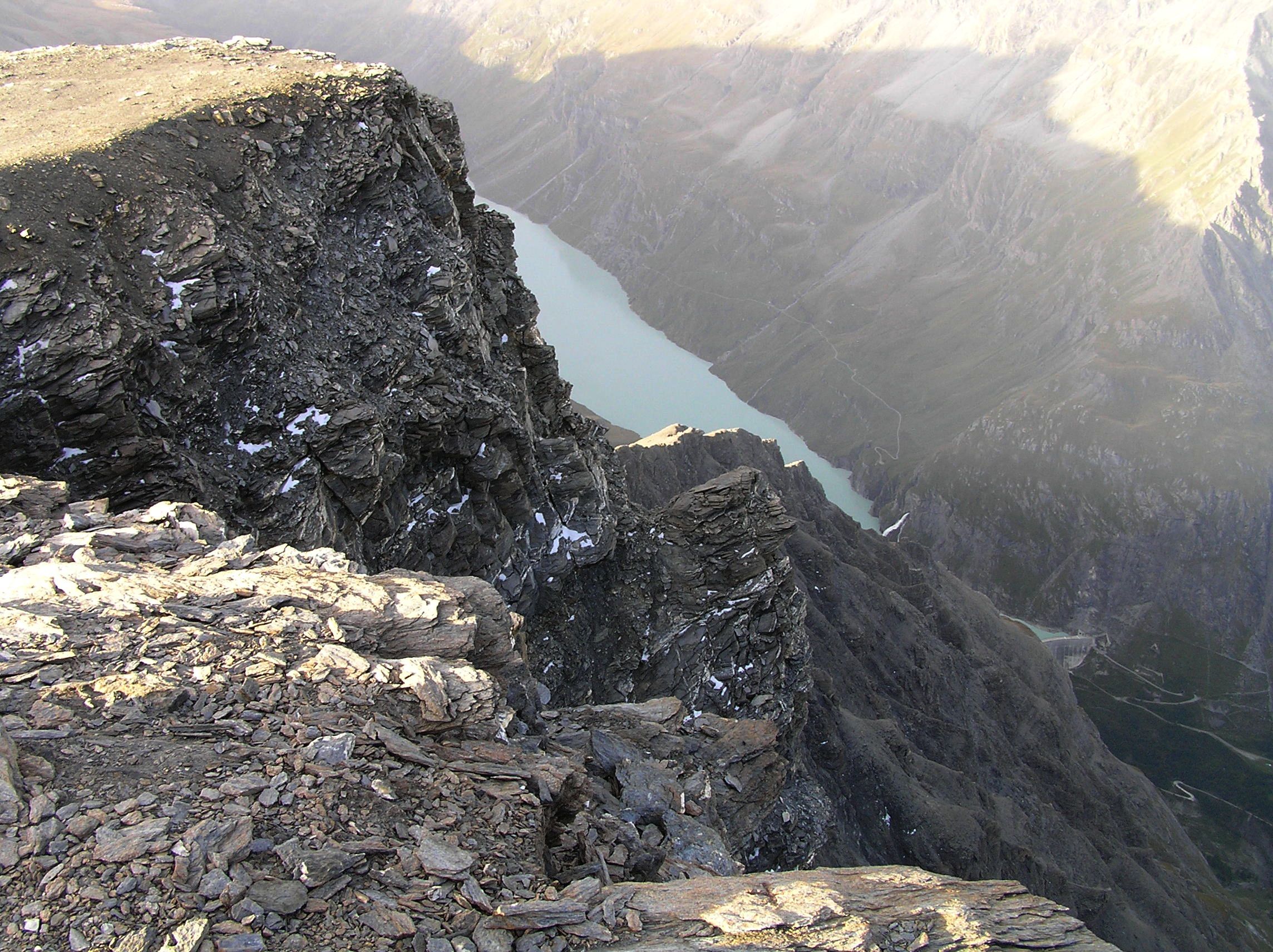
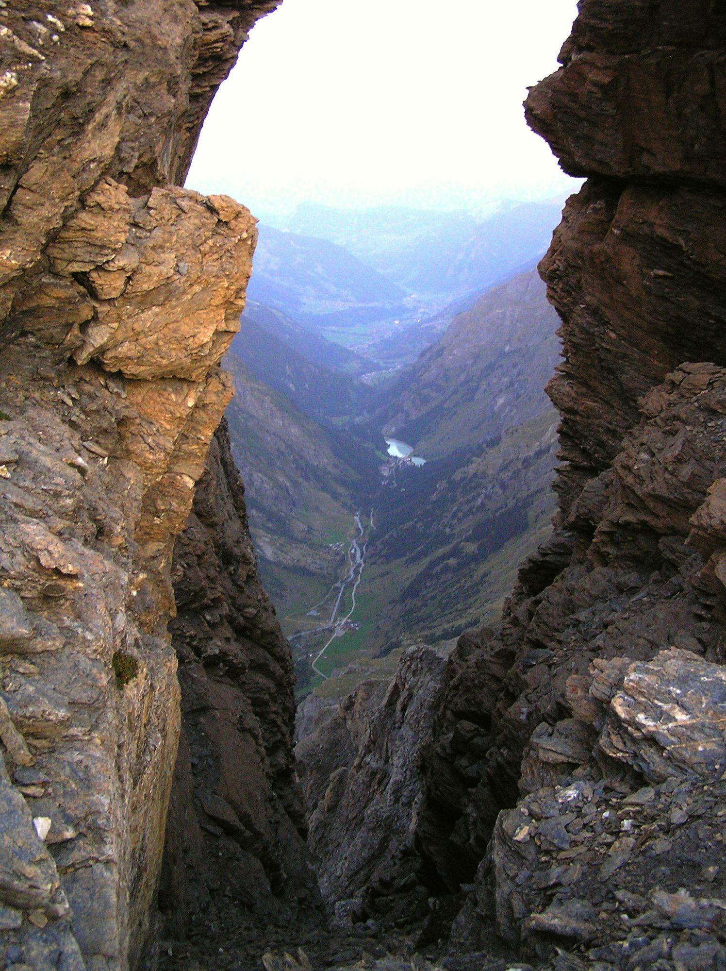
A hike leading to a 3704m high summit with amazing views. In fact, there are great views all the way up.
In summer this route is just a long hike - there is a good path to around 3000m (equipped with chains) and a visible trail (sometimes many of them) higher up. Some easy scrambling may be necessary; not exposed. No idea why it is graded PD in the French version. Nevertheless it is a high mountain and may be dangerous in bad conditions.
Access:
Park at Mauvoisin and go to the dam, traverse the dam and go into the tunnel. After 3 short tunnels there is a ladder. Then just follow the trail up.

The text and images in this page are available
under a Creative Commons CC-by-sa licence.

Download the Whympr App to view this route in 3D.
- Route search (100 000)
- Community returns
- Weather forecast
- Avalanche bulletin
- Race book
- Creation of tracks
- Topographic map (including IGN)