

Open this route in the app to prepare your next outing.

Details
Approach # 1h30
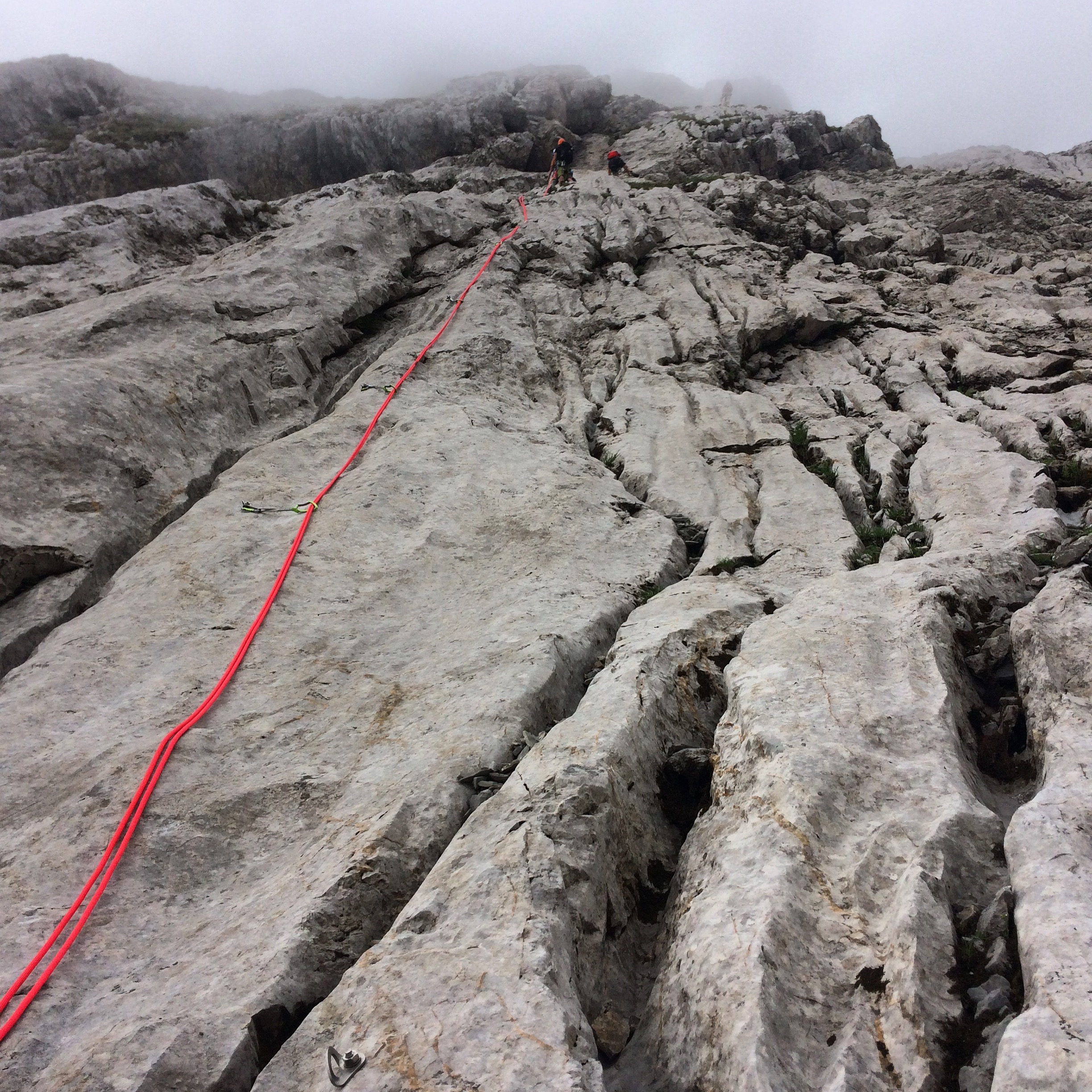
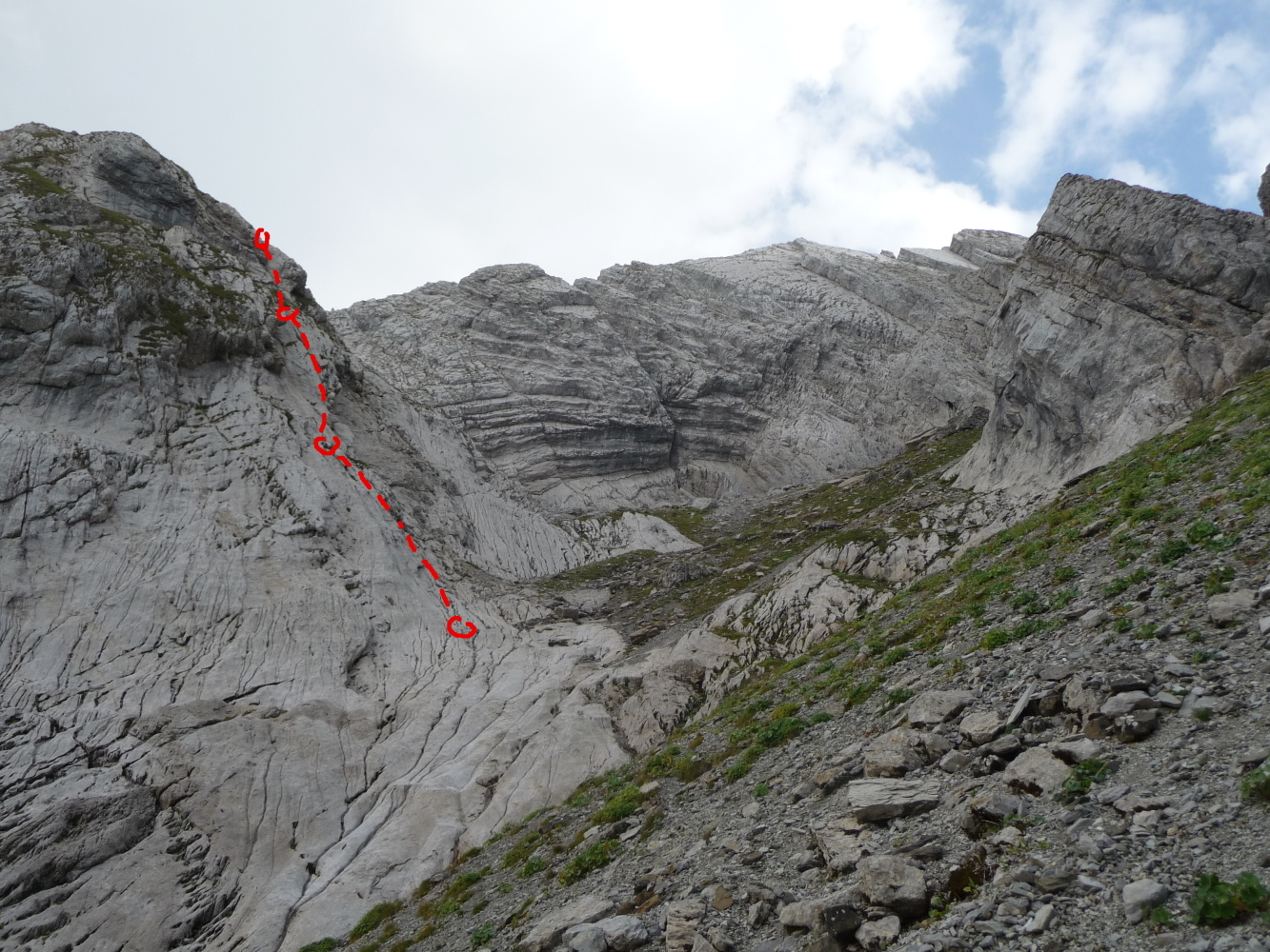
From the Col de Aravis, (main car parking) go SW to the farm 300m away. By pass it on the right and follow a very faint path through the fields behind. Continue upwards, trending slightly rightwards, until you reach a path which starts at a cairn on top of a boulder. The path goes slightly to the right then goes up the bed of the torrent descending from the “combe à Marion”. The path again goes diagonally rightwards in line with a vertical cliff, to by pass a slabby mound. Then follow a weakness in these slabs horizontally back to the left to the start of the route. This can be recognised by a belay with two bolts at the foot of an easy angled slab with runnels and more bolts above.
Route
L#1 | 3b | Slab and broad groove L#2 | 4a | Start slightly to the right L#3 | 4c>4aA0 | Chimney. Short section (<3m) with bolts every 1m. L#~ Walking with grassy and easy slabs to reach the start of the ridge proper. L#~ The route now follows the crest of the ridge, bolts indicating the way. L#4 | 3a
L#5 | 3a
L#6 | 4a | Start to the left of the ridge L#7 | 4a
L#8 | 2c
L#9 | 2c
L#10 | 3a
L#11 | 3b
L#12 | 4a
L#13 | 4c
Descent
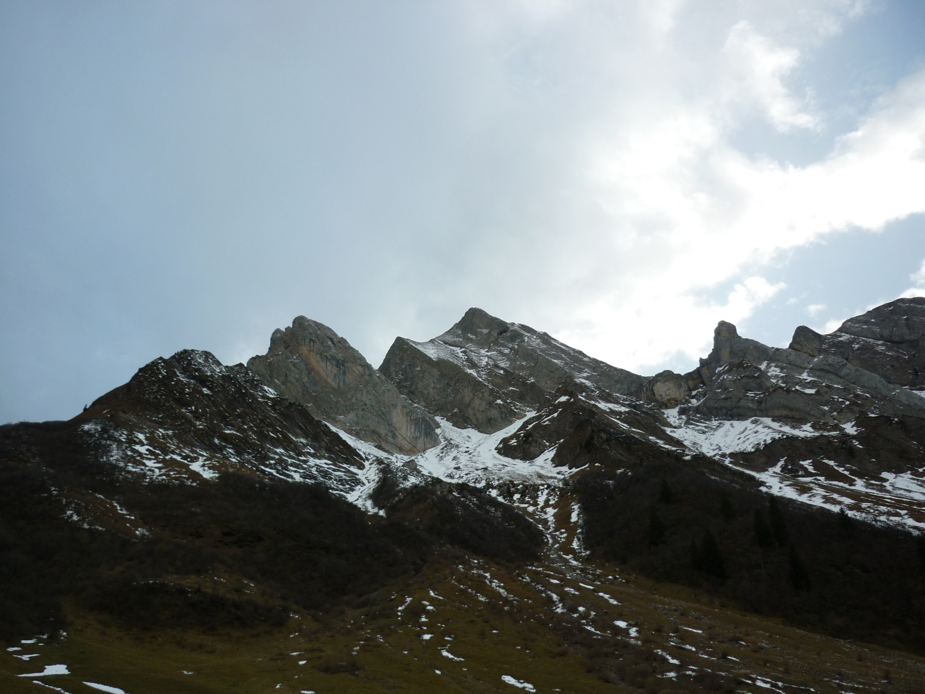
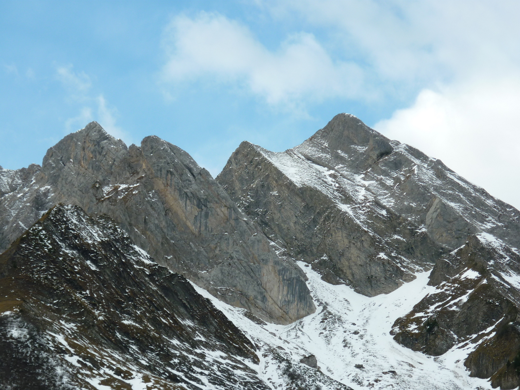
From the summit go straight down the slope on the right, NW, cairns, towards a small col between the Dent du Chatelet (2356m) and the Pointe Blonnière (2369m). Then go to the right between two large boulders, climb down a little ravine, initially on the true left, (2 bolts, the first with a bit of tat,) then the right bank (2 bolts.) Go down the scree in the cwm to reach the start of the climb and the approach route.

The text and images in this page are available
under a Creative Commons CC-by-sa licence.

Download the Whympr App to view this route in 3D.
- Route search (100 000)
- Community returns
- Weather forecast
- Avalanche bulletin
- Race book
- Creation of tracks
- Topographic map (including IGN)