

Open this route in the app to prepare your next outing.

Details
Access
From Chamonix (circa 1h30): Take the Megeve to Ugine road. At Pont de Flon turn off right, (usually no choice as the main road down the gorge is often closed,) and follow this to just after Hery-sur-Ugine. A turn off on the right is signposted for the Restaurant “Lierre”. Follow the road for about 8kms, past Lierre, to the col d’Arpettaz, (Refuge).
Ascent # 3h30
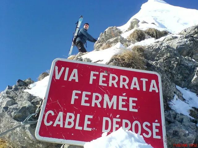
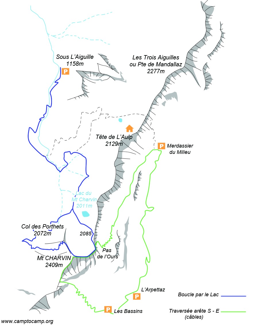
From the col, go down the tarmac road towards Ugine for about 5 mins until you reach a Via Ferrata sign at a bend, (1509m). Early in the season the start of path may be overgrown. Go through the walker’s gate, pass between two strange signposts towards a lone tree. At the tree, turn right between two boulders with yellow paint marks and follow the path, now more obvious, (old red marks, newer yellow marks and some blue plastic markers,) as it weaves its way steeply up the hillside to the line of a gully, (Golet de la Trouve,) with a large white square sign on the rock, visible from a long way below. This is the start of the via ferrata, (at about 1800m, 1h15mins from the col.) Follow the cables and exit at a col between the end of the Aiguilles du Mont ridge and the start of the S ridge of the Mt Charvin, (le Cul d’Ugine). Go up the path on the crest of the S ridge, which has several cabled sections, (numbered in reverse order.) The via ferrata is graded PD.
Descent # 2h30 + 1h back to the col
From the summit, descend the E ridge following the red paint marks, (and not the N ridge which is the “Normal” route). There are numerous cabled sections, take care if wet, which lead to above the Mont Charvin lake. Before Point 2085 on the ridge, there is a cable leading off to the right, (the via ferrata sign is above the second cable on the descent side.) This is the “Pas de L’Ours”. Follow the cable for 250m along an exposed ledge, the “vire de la mène noire”, and join a path which initially goes down a pleasant small valley and then traverses the hillside, (N) to the “Merdassier du Milieu” parking. Take the unmetalled road on the right, (S), back to the col de l’Arpettaz.

The text and images in this page are available
under a Creative Commons CC-by-sa licence.

Download the Whympr App to view this route in 3D.
- Route search (100 000)
- Community returns
- Weather forecast
- Avalanche bulletin
- Race book
- Creation of tracks
- Topographic map (including IGN)