

Open this route in the app to prepare your next outing.

Details
Approach # 1.5 -2h
From the Envers Hut go S over scree to the N branch of the Envers de Blatiere glacier. Cross this going first below the SE ridge of the Pointes des Nantillons then the long SE ridge of the Blaitiere heading from the Dent de Requin. Reach the much bigger S branch of the glacier and walk up it, crossing one or two large crevasses/bergschrunds, (can be very awkward), until below the E ridge and alongside the N face of the Pain de Sucre.
Route
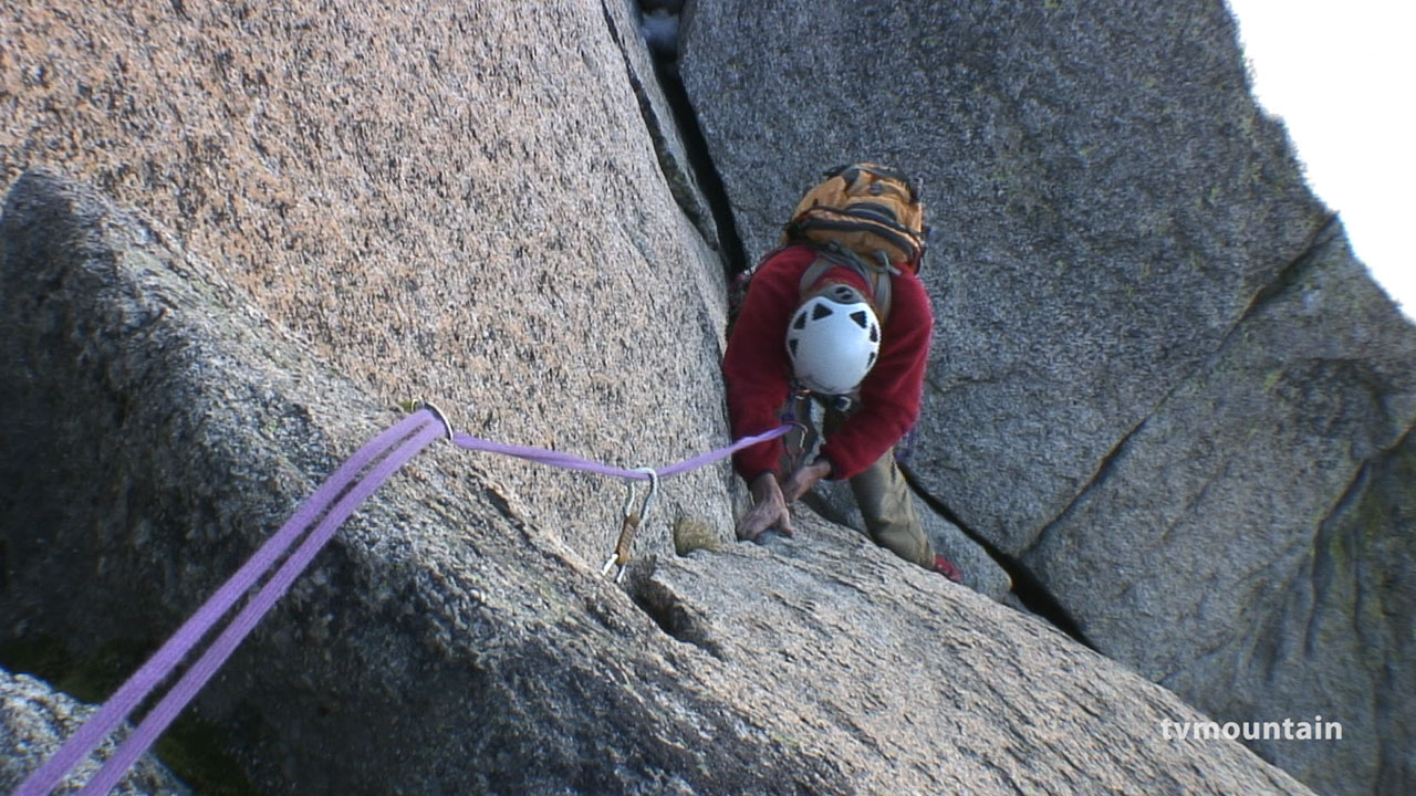
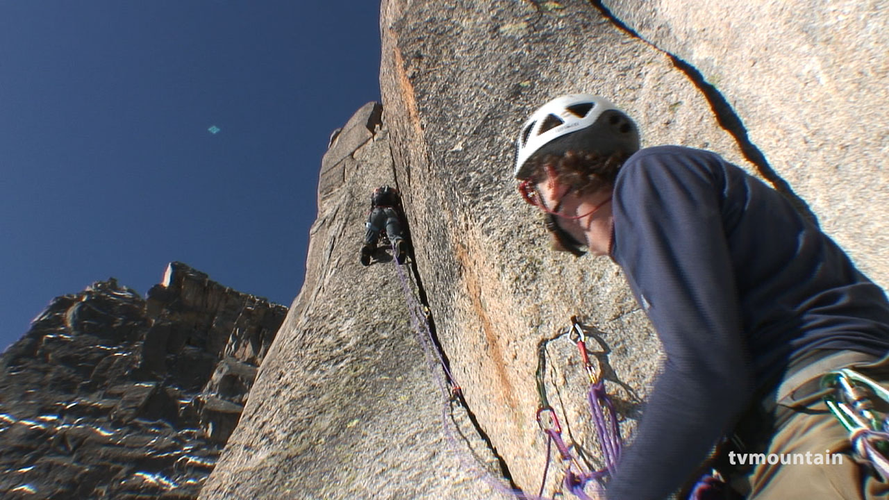
Cross the bergshrund, this can be very variable and is usually easiest very early in the season. After the bergschrund, it is easiest to climb the Pain de Sucre gully for a pitch before gaining the rock. There is, however, a serious risk of stonefall and it is best to do this before sunrise. This leads easily to a traverse ledge, identifiable by a detached flake of rock. This ledge marks where the angle of the ridge steepens, (bivvy sites on the L). Follow a second ledge rightwards to where it narrows into a corner (3b) and leads to the Plan-Crocodile Gully. Climb this quickly for several pitches on rotten rock (unpleasant and exposed to rockfall) to a shoulder. Do not try and leave the gully too early (e.g at a piton on the left). The good climbing starts from this shoulder and route finding becomes easier. Follow the crest to the first step and climb it by 2 cracks (4b) to a deep chimney (4b). Now follow the crest directly climbing a series of cracks and chimneys, one of which, a slanting corner, is the famous Grand Mere crack (4c). A little before the final step, avoid a vertical Y shaped crack by the overhanging crest of the ridge on the L (4b). The step above is climbed entirely on the L side. Climb a crack (4c) to a ledge that slopes down to the R, then take a chimney that leads up to a ridge. In the upper section of this chimney move L (4c) to easier ground and follow it for three pitches to a Y shaped crack in the upper part of the step. Reach this by a chimney system on the L with two jammed blocks (4c). Take the L branch of the Y (4c) and follow easy ground to the summit (550m, 8-10h from the hut.)
Descent # 2h
The easiest option is to descend to the Requin Hut by Envers du Plan glacier. It is also possible to follow the Midi–Plan ridge to the Aig du Midi cable car. (Allow 3-4 hours)

The text and images in this page are available
under a Creative Commons CC-by-sa licence.

Download the Whympr App to view this route in 3D.
- Route search (100 000)
- Community returns
- Weather forecast
- Avalanche bulletin
- Race book
- Creation of tracks
- Topographic map (including IGN)